
Eighty Nine Dekalb
89 Dekalb Ave,
Brooklyn, NY 11201
$3,740 - $7,845
Studio - 2 Beds
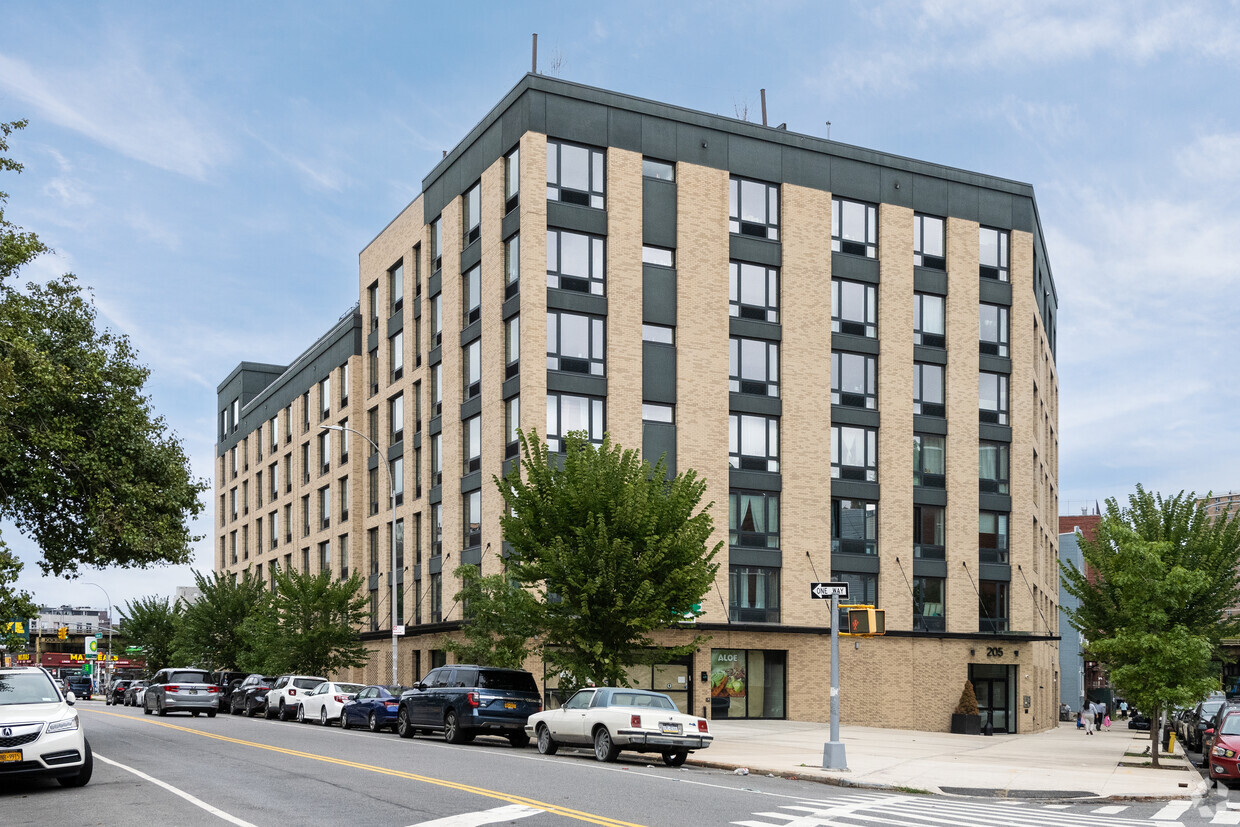
Discover your new apartment at 120-150 Union Ave. This property is situated in the Broadway Triangle area of Brooklyn. Compare 0 to 4 bedroom floor plans then schedule a visit to see them in person. The leasing staff will assist you in finding your new home. Drop by the leasing office to discuss your new apartment and make your move to 120-150 Union Ave.
120-150 Union Ave is an apartment community located in Kings County and the 11206 ZIP Code. This area is served by the New York City Geographic District #14 attendance zone.
Fitness Center
Elevator
Clubhouse
Controlled Access
Air Conditioning
Dishwasher
Hardwood Floors
Microwave
The Broadway Triangle is located between Broadway, Union Avenue, and Flushing Avenue in Brooklyn. The small neighborhood contains four subway stations: two on either end of Flushing Avenue within the neighborhood and two on Broadway. It is the location of the former Pfizer Company building, which is being redeveloped into apartments.
The Triangle is typical of Brooklyn: brick apartment buildings, corner bakeries, and delis crowd the busy streets. It is a very walkable, bicycle-friendly neighborhood with bike-sharing stations located on Throop Avenue. The Broadway Triangle features two playgrounds, the De Hostos Playground and the Bartlett Playground.
Learn more about living in Broadway Triangle| Colleges & Universities | Distance | ||
|---|---|---|---|
| Colleges & Universities | Distance | ||
| Drive: | 5 min | 1.5 mi | |
| Drive: | 5 min | 1.7 mi | |
| Drive: | 6 min | 2.3 mi | |
| Drive: | 6 min | 2.4 mi |


Transportation options available in Brooklyn include Broadway (G Line), located 0.1 mile from 120-150 Union Ave. 120-150 Union Ave is near LaGuardia, located 7.5 miles or 17 minutes away, and John F Kennedy International, located 12.9 miles or 23 minutes away.
| Transit / Subway | Distance | ||
|---|---|---|---|
| Transit / Subway | Distance | ||
|
|
Walk: | 1 min | 0.1 mi |
|
|
Walk: | 4 min | 0.2 mi |
|
|
Walk: | 4 min | 0.3 mi |
|
|
Walk: | 5 min | 0.3 mi |
|
|
Walk: | 10 min | 0.5 mi |
| Commuter Rail | Distance | ||
|---|---|---|---|
| Commuter Rail | Distance | ||
|
|
Drive: | 6 min | 2.0 mi |
|
|
Drive: | 7 min | 2.9 mi |
|
|
Drive: | 10 min | 3.2 mi |
|
|
Drive: | 11 min | 3.5 mi |
|
|
Drive: | 8 min | 3.5 mi |
| Airports | Distance | ||
|---|---|---|---|
| Airports | Distance | ||
|
LaGuardia
|
Drive: | 17 min | 7.5 mi |
|
John F Kennedy International
|
Drive: | 23 min | 12.9 mi |
Time and distance from 120-150 Union Ave.
| Shopping Centers | Distance | ||
|---|---|---|---|
| Shopping Centers | Distance | ||
| Drive: | 3 min | 1.2 mi | |
| Drive: | 5 min | 1.9 mi | |
| Drive: | 7 min | 2.6 mi |
| Parks and Recreation | Distance | ||
|---|---|---|---|
| Parks and Recreation | Distance | ||
|
Sternberg Park
|
Walk: | 5 min | 0.3 mi |
|
Martinez Playground
|
Walk: | 12 min | 0.6 mi |
|
Hattie Carthan Garden
|
Drive: | 3 min | 1.3 mi |
|
McCarren Park
|
Drive: | 4 min | 1.3 mi |
|
East River State Park
|
Drive: | 4 min | 1.7 mi |
| Hospitals | Distance | ||
|---|---|---|---|
| Hospitals | Distance | ||
| Walk: | 11 min | 0.6 mi | |
| Drive: | 6 min | 2.2 mi | |
| Drive: | 6 min | 2.3 mi |
| Military Bases | Distance | ||
|---|---|---|---|
| Military Bases | Distance | ||
| Drive: | 16 min | 6.0 mi | |
| Drive: | 25 min | 12.5 mi |
What Are Walk Score®, Transit Score®, and Bike Score® Ratings?
Walk Score® measures the walkability of any address. Transit Score® measures access to public transit. Bike Score® measures the bikeability of any address.
What is a Sound Score Rating?
A Sound Score Rating aggregates noise caused by vehicle traffic, airplane traffic and local sources

120-150 Union Ave
Brooklyn, NY 11206


