
Ellwood at Lake Travis
7655 N Ranch Road 620,
Austin, TX 78726
$1,071 - $1,973
1-3 Beds
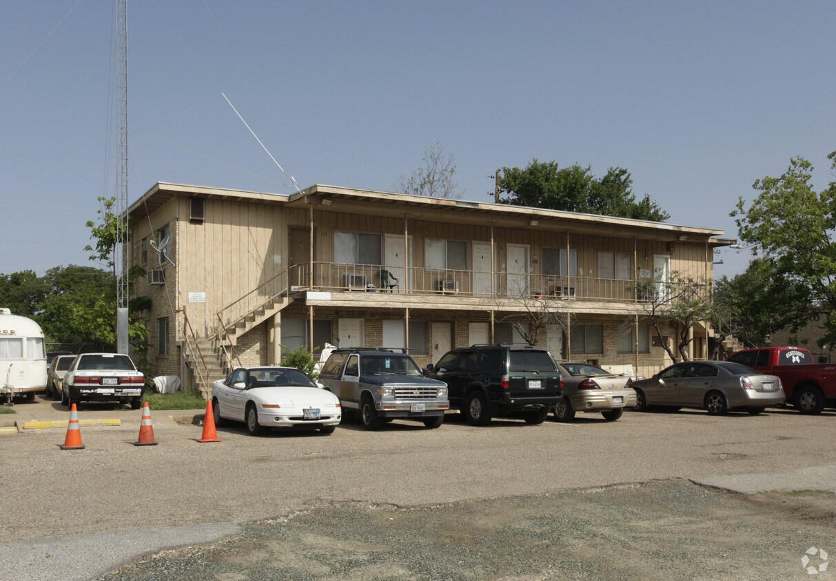
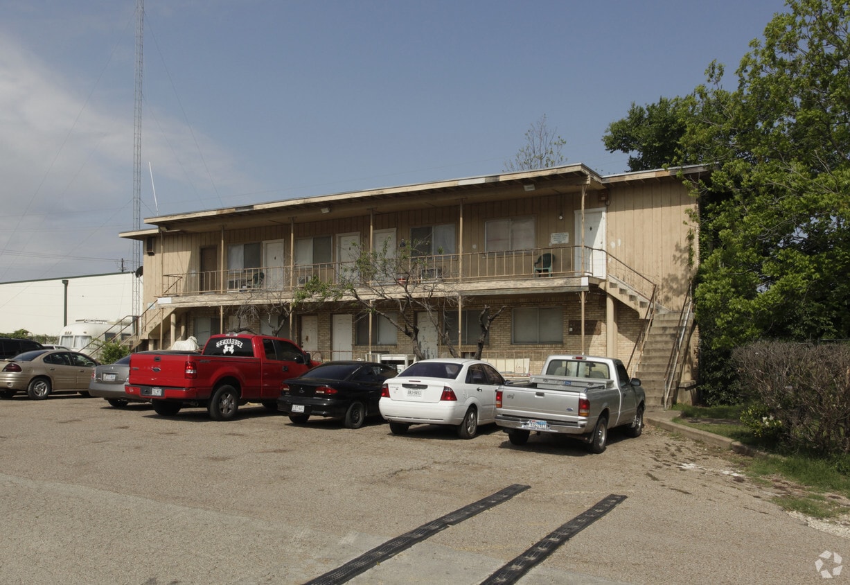

At 1125-1127 E 52nd St in Austin, TX, experience stylish living. Situated in the 78723 Zip code of Austin on E. 52nd St., residents have easy access to a mixture of great points of interest. The leasing staff is waiting to show you all that this community has in store. Schedule a time to see the current floorplan options. Come see 1125-1127 E 52nd St today.
1125-1127 E 52nd St is an apartment community located in Travis County and the 78723 ZIP Code. This area is served by the Austin Independent School District attendance zone.
Wedged between the North Loop and University Hills, Windsor Park offers a terrific neighborhood just north of Downtown Austin. With I-35 and Highway 290 serving as the west and northern borders, getting around the Austin area is easy, and the University of Texas at Austin is a short three miles southwest. As you explore apartments in Windsor Park, you'll notice a variety of ranch-style homes dating to the 1950s, giving the neighborhood an established, family-friendly vibe. With Downtown Austin only about four miles south, this is a terrific option for commuters.
Windsor Park provides a large park, Bartholomew District Park, on its south side. This 57-acre park features a swimming pool, a splash pad, disc golf, picnic areas, a playground, and basketball courts. Just a short distance south of Batholomew Park, Mueller Lake Park has a lake and an amphitheater. Shops, restaurants, and other businesses are scattered throughout the neighborhood.
Learn more about living in Windsor ParkCompare neighborhood and city base rent averages by bedroom.
| Windsor Park | Austin, TX | |
|---|---|---|
| Studio | $1,301 | $1,208 |
| 1 Bedroom | $1,331 | $1,404 |
| 2 Bedrooms | $1,573 | $1,838 |
| 3 Bedrooms | $2,027 | $2,447 |
| Colleges & Universities | Distance | ||
|---|---|---|---|
| Colleges & Universities | Distance | ||
| Drive: | 5 min | 2.7 mi | |
| Drive: | 7 min | 4.1 mi | |
| Drive: | 8 min | 4.2 mi | |
| Drive: | 12 min | 6.7 mi |


Transportation options available in Austin include Highland Station, located 1.8 miles from 1125-1127 E 52nd St. 1125-1127 E 52nd St is near Austin-Bergstrom International, located 13.0 miles or 24 minutes away.
| Transit / Subway | Distance | ||
|---|---|---|---|
| Transit / Subway | Distance | ||
| Drive: | 3 min | 1.8 mi | |
| Drive: | 5 min | 2.8 mi | |
| Drive: | 6 min | 3.1 mi | |
| Drive: | 6 min | 4.0 mi | |
| Drive: | 7 min | 4.4 mi |
| Commuter Rail | Distance | ||
|---|---|---|---|
| Commuter Rail | Distance | ||
|
|
Drive: | 10 min | 5.4 mi |
|
|
Drive: | 39 min | 32.1 mi |
|
|
Drive: | 41 min | 34.5 mi |
| Airports | Distance | ||
|---|---|---|---|
| Airports | Distance | ||
|
Austin-Bergstrom International
|
Drive: | 24 min | 13.0 mi |
Scores provided by
Traffic
-Airport
-Businesses
-Scores provided by
HowLoud What is a Sound Score Rating? A Sound Score Rating aggregates noise caused by vehicle traffic, airplane traffic and local sources. How It WorksTime and distance from 1125-1127 E 52nd St.
| Shopping Centers | Distance | ||
|---|---|---|---|
| Shopping Centers | Distance | ||
| Walk: | 5 min | 0.3 mi | |
| Walk: | 5 min | 0.3 mi | |
| Walk: | 6 min | 0.3 mi |
| Parks and Recreation | Distance | ||
|---|---|---|---|
| Parks and Recreation | Distance | ||
|
Thinkery
|
Drive: | 3 min | 1.2 mi |
|
Elisabet Ney Museum
|
Drive: | 4 min | 1.9 mi |
|
Texas Memorial Museum
|
Drive: | 5 min | 2.6 mi |
|
Shoal Creek Greenbelt Park
|
Drive: | 9 min | 4.0 mi |
|
Boggy Creek Greenbelt
|
Drive: | 8 min | 4.6 mi |
| Hospitals | Distance | ||
|---|---|---|---|
| Hospitals | Distance | ||
| Walk: | 13 min | 0.7 mi | |
| Drive: | 3 min | 2.0 mi | |
| Drive: | 4 min | 2.1 mi |
| Military Bases | Distance | ||
|---|---|---|---|
| Military Bases | Distance | ||
| Drive: | 83 min | 69.4 mi | |
| Drive: | 86 min | 70.4 mi | |
| Drive: | 112 min | 96.9 mi |
What Are Walk Score®, Transit Score®, and Bike Score® Ratings?
Walk Score® measures the walkability of any address. Transit Score® measures access to public transit. Bike Score® measures the bikeability of any address.
What is a Sound Score Rating?
A Sound Score Rating aggregates noise caused by vehicle traffic, airplane traffic and local sources.


