
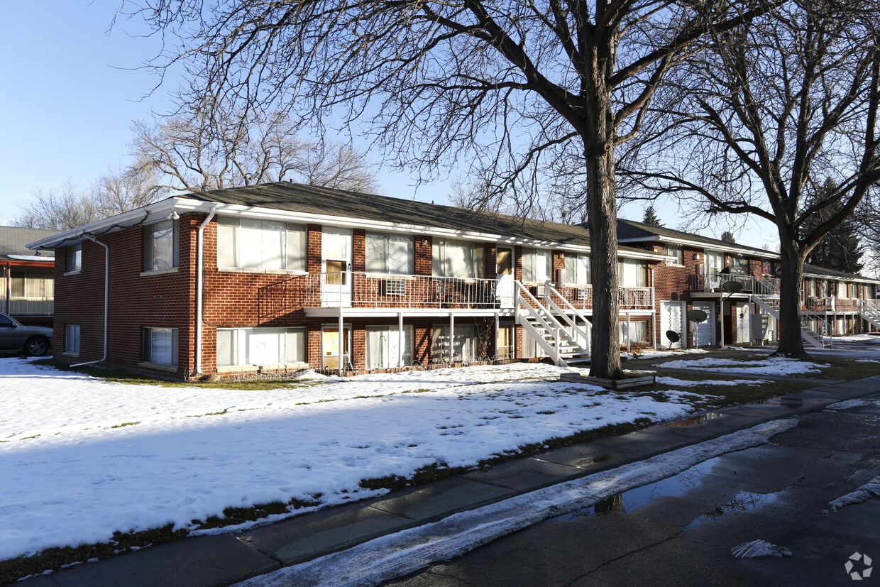
Bristol Pointe Apartments
1600 S Taft St,
Loveland, CO 80537
$1,404 - $2,259 Plus Fees
Studio - 3 Beds 12 Month Lease


10th Street Flats is an apartment community located in Larimer County and the 80537 ZIP Code. This area is served by the Thompson R2-J School District attendance zone.
Air Conditioning
High Speed Internet Access
Ceiling Fans
Smoke Free
Loveland sits at the base of the Rocky Mountains in Larimer County, where the Front Range meets the foothills and the pace of life feels intentional rather than rushed. Known informally as the Sweetheart City, it holds a population of around 77,000 and functions as part of the Fort Collins-Loveland metro area, giving residents access to a mid-size city without the density of Denver, roughly 45 miles to the south. Major employers in healthcare, manufacturing, and technology anchor the local economy, while UCHealth Medical Center of the Rockies serves as one of the region's most prominent institutions.
Neighborhoods here range from the walkable blocks of historic Downtown Loveland, home to the restored Rialto Theater and Loveland Museum, to the newer, retail-anchored Centerra district near Interstate 25, and the quieter lake-area communities surrounding Boyd Lake State Park.
Learn more about living in Loveland| Colleges & Universities | Distance | ||
|---|---|---|---|
| Colleges & Universities | Distance | ||
| Drive: | 17 min | 9.1 mi | |
| Drive: | 21 min | 11.6 mi | |
| Drive: | 24 min | 12.8 mi | |
| Drive: | 26 min | 13.2 mi |


Scores provided by
Traffic
-Airport
-Businesses
-Scores provided by
HowLoud What is a Sound Score Rating? A Sound Score Rating aggregates noise caused by vehicle traffic, airplane traffic and local sources. How It WorksPets Allowed Fitness Center Pool In Unit Washer & Dryer Walk-In Closets Stainless Steel Appliances Grill
Pets Allowed Clubhouse Range Lofts Walk-Up
Pets Allowed Fitness Center Pool In Unit Washer & Dryer Walk-In Closets Stainless Steel Appliances Fireplace
Pets Allowed Fitness Center Pool Clubhouse Business Center EV Charging Tennis Court
Pets Allowed Pool Dishwasher Refrigerator Kitchen Balcony
Pets Allowed Fitness Center Pool Maintenance on site Business Center
What Are Walk Score®, Transit Score®, and Bike Score® Ratings?
Walk Score® measures the walkability of any address. Transit Score® measures access to public transit. Bike Score® measures the bikeability of any address.
What is a Sound Score Rating?
A Sound Score Rating aggregates noise caused by vehicle traffic, airplane traffic and local sources.
430-482 W 10th St
Loveland, CO 80537


