
$950
/ Month
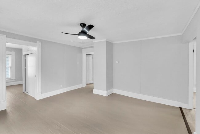
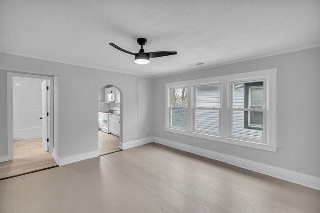
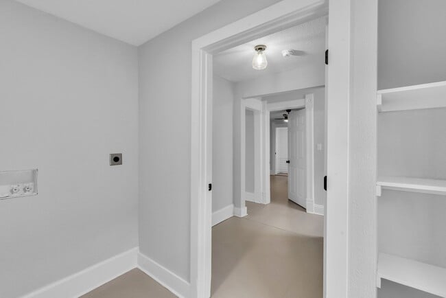
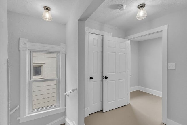
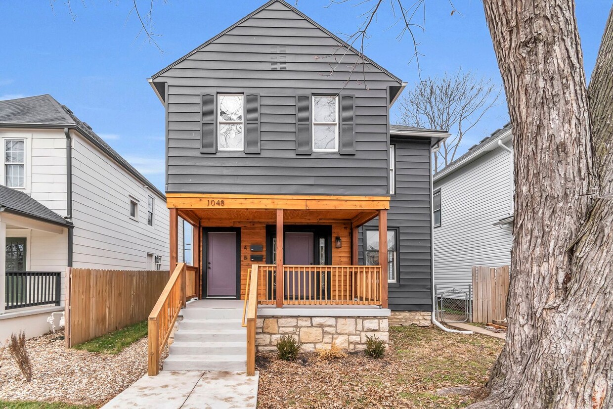
1048 Sandusky Ave Unit B
Kansas City, KS 66102
1 Day Ago
|
Edit
Favorites
913-229-3183
-
Bedrooms
3
-
Bathrooms
1
-
Square Feet
--
-
Available
Available Now
1048 Sandusky Ave Unit B

Favorites
Fees and Policies
The fees listed below are community-provided and may exclude utilities or add-ons. All payments are made directly to the property and are non-refundable unless otherwise specified. Use the Cost Calculator to determine costs based on your needs.
-
One-Time Basics
-
Due at Move-In
-
Security Deposit - RefundableCharged per unit.$1,250
-
-
Due at Move-In
Property Fee Disclaimer: Based on community-supplied data and independent market research. Subject to change without notice. May exclude fees for mandatory or optional services and usage-based utilities.
Contact
- Listed by Community | Community Housing of Wyandotte County
- Phone Number
- Contact
Location
Get Directions
From the small-town atmosphere of Minnesota Avenue to the tranquil residential areas farther south, the Riverview neighborhood offers a cozy atmosphere directly across the river from Kansas City, Missouri. Most of the community is covered by suburban homes, with a broad range of apartments and condos adding to the rental options. Many of the city’s most popular restaurants can be found around Riverview, from the regional flavors served up at Gates Bar-B-Q and Slap’s BBQ to the diverse fare at hangouts like Tao Tao, Breit’s Stein and Deli, and Paleteria Tropicana.
Learn more about living in Riverview
Education
| Colleges & Universities | Distance | ||
|---|---|---|---|
| Colleges & Universities | Distance | ||
| Drive: | 16 min | 7.2 mi | |
| Drive: | 15 min | 8.2 mi | |
| Drive: | 18 min | 9.0 mi | |
| Drive: | 18 min | 9.7 mi |
1048 Sandusky Ave Unit B is within 15 minutes or 8.2 miles from Kans. City Kans. Comm. Coll.. It is also near Kansas City Art Institute and UM Kansas City.
Transportation options available in Kansas City include North Loop On Main At 7Th St Sb, located 3.6 miles from 1048 Sandusky Ave Unit B. 1048 Sandusky Ave Unit B is near Kansas City International, located 18.1 miles or 28 minutes away.
| Transit / Subway | Distance | ||
|---|---|---|---|
| Transit / Subway | Distance | ||
| Drive: | 8 min | 3.6 mi | |
| Drive: | 8 min | 3.8 mi | |
| Drive: | 8 min | 3.8 mi | |
| Drive: | 8 min | 3.8 mi | |
| Drive: | 8 min | 3.8 mi |
| Commuter Rail | Distance | ||
|---|---|---|---|
| Commuter Rail | Distance | ||
|
|
Drive: | 12 min | 5.0 mi |
|
|
Drive: | 25 min | 13.5 mi |
|
|
Drive: | 38 min | 24.0 mi |
|
|
Drive: | 45 min | 37.3 mi |
| Airports | Distance | ||
|---|---|---|---|
| Airports | Distance | ||
|
Kansas City International
|
Drive: | 28 min | 18.1 mi |
Time and distance from 1048 Sandusky Ave Unit B.
| Shopping Centers | Distance | ||
|---|---|---|---|
| Shopping Centers | Distance | ||
| Drive: | 7 min | 2.7 mi | |
| Drive: | 8 min | 3.0 mi | |
| Drive: | 9 min | 3.1 mi |
1048 Sandusky Ave Unit B has 3 shopping centers within 3.1 miles, which is about a 9-minute drive. The miles and minutes will be for the farthest away property.
| Parks and Recreation | Distance | ||
|---|---|---|---|
| Parks and Recreation | Distance | ||
|
Science City at Union Station
|
Drive: | 12 min | 4.9 mi |
|
Mill Creek Park
|
Drive: | 14 min | 6.8 mi |
|
Richard Berkley Riverfront Park
|
Drive: | 15 min | 7.3 mi |
|
Donald J. Hall Sculpture Park
|
Drive: | 16 min | 7.7 mi |
|
Theis Park
|
Drive: | 16 min | 7.8 mi |
1048 Sandusky Ave Unit B has 5 parks within 7.8 miles, including Science City at Union Station, Mill Creek Park, and Richard Berkley Riverfront Park.
| Hospitals | Distance | ||
|---|---|---|---|
| Hospitals | Distance | ||
| Drive: | 12 min | 4.9 mi | |
| Drive: | 11 min | 5.2 mi | |
| Drive: | 12 min | 5.9 mi |
1048 Sandusky Ave Unit B has 3 hospitals within 5.9 miles, the nearest is University of Kansas Hospital which is 4.9 miles away and a 12 minute drive.
| Military Bases | Distance | ||
|---|---|---|---|
| Military Bases | Distance | ||
| Drive: | 51 min | 35.6 mi |
1048 Sandusky Ave Unit B is 35.6 miles and a 51 minute drive from Fort Leavenworth.
You May Also Like
Similar Rentals Nearby


What Are Walk Score®, Transit Score®, and Bike Score® Ratings?
Walk Score® measures the walkability of any address. Transit Score® measures access to public transit. Bike Score® measures the bikeability of any address.
What is a Sound Score Rating?
A Sound Score Rating aggregates noise caused by vehicle traffic, airplane traffic and local sources
1048 Sandusky Ave
Kansas City, KS 66102