

$2,500 / Month

10443 Cecilia Star Ln

,

Richmond, TX 77406

Share Listing
Favorites
713-548-4567
  • Bedrooms

    3

  • Bathrooms

    2

  • Square Feet

    1,732 sq ft

  • Available

    Available Now

10443 Cecilia Star Ln
Share Listing
Favorites

About This Home

Available Now

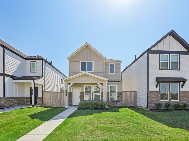
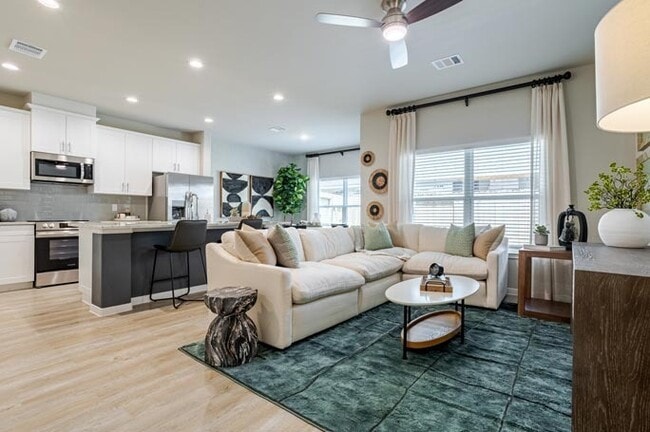
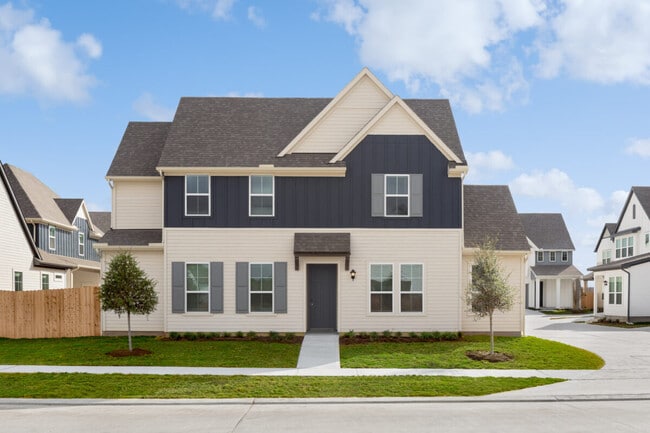
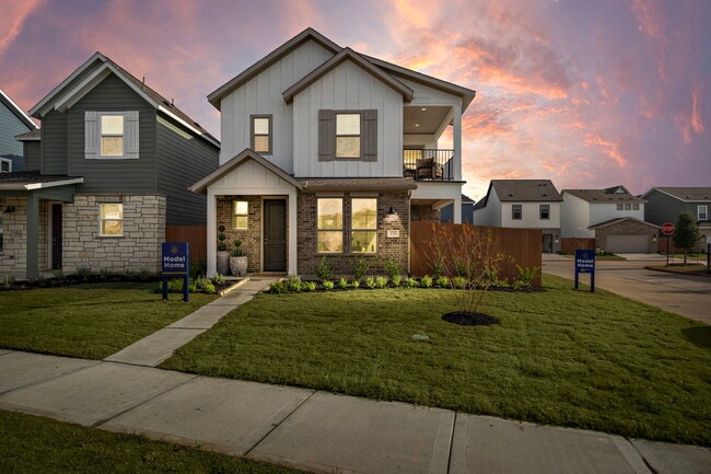
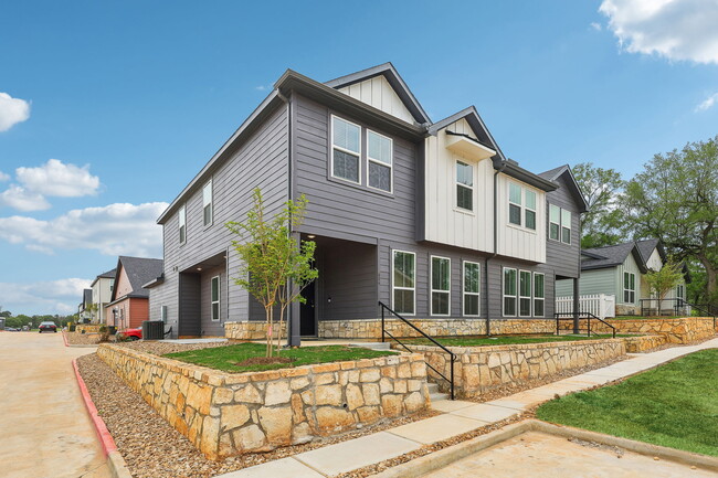
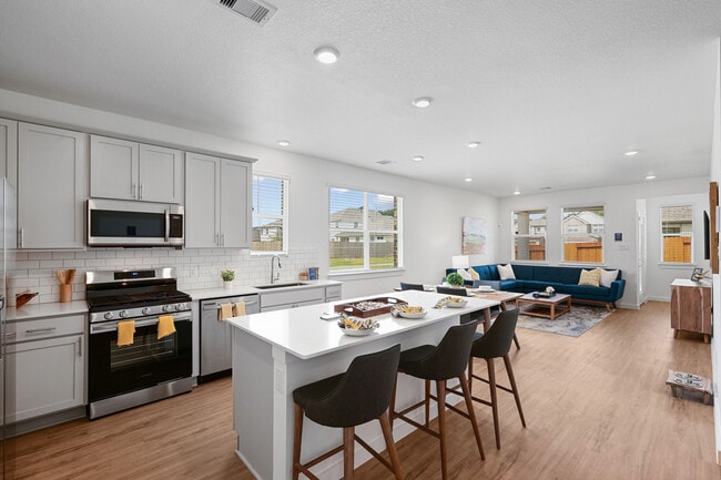
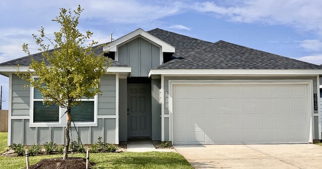
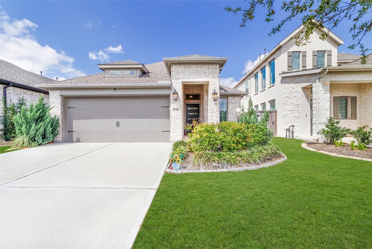
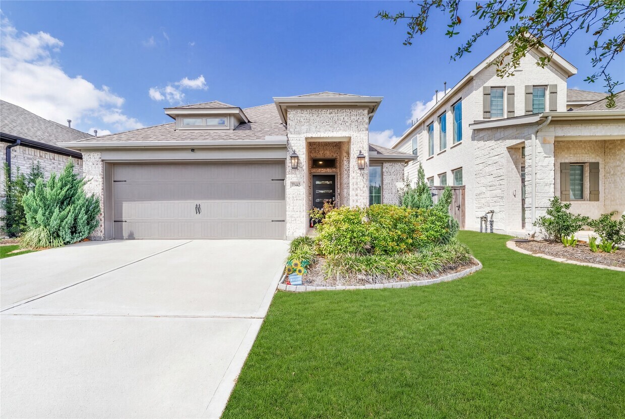
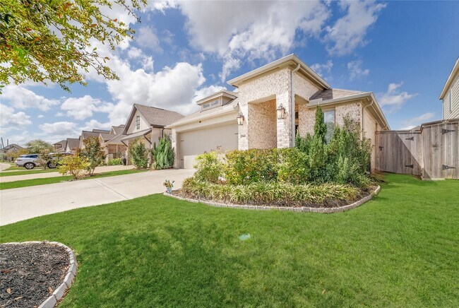
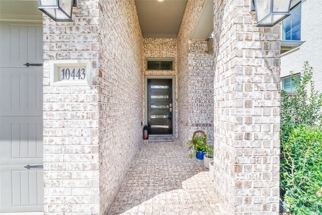
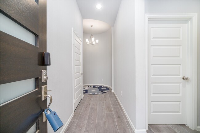
A detached single-family residence located in a quiet residential section of Richmond,Fort Bend County,Texas. The home is a modern,single-story structure built around 2022 and sits on a lot of approximately 5,400 square feet. The residence contains about 1,722 square feet of interior living space and features three bedrooms and two to three bathrooms,designed with a functional suburban layout. The exterior typically reflects contemporary Texas suburban architecture,with a low-pitched roofline,attached garage,and a landscaped front yard facing Cecilia Star Lane. Inside,the home is arranged around an open-concept living area connecting the living room,kitchen,and dining space,creating a spacious central gathering area. Large windows provide natural light,while central air conditioning supports indoor climate control. The property includes a private backyard area suitable for outdoor seating or recreation and is part of a newer planned community in Richmond. MLS ID 15502163

10443 Cecilia Star Ln is a house located in Fort Bend County and the 77406 ZIP Code. This area is served by the Lamar Consolidated Independent School District attendance zone.

* Price shown is base rent. Excludes user-selected optional fees and variable or usage-based fees and required charges due at or prior to move-in or at move-out. Price, availability, fees, and any applicable rent special are subject to change without notice.
* Square footage definitions vary. Displayed square footage is approximate.

Contact

  • Listed by Calvin Chau Nguyen | SKW Realty
  • Phone Number
  • Contact
  • Source
    Houston Association of REALTORS®
Copyright © 2026 Houston Association of Realtors. All rights reserved. All information provided by the listing agent/broker is deemed reliable but is not guaranteed and should be independently verified.
| Edit

Under 30 minutes

Commute Time is calculated at rush hour.
Neighborhood

The suburban community of Richmond/Rosenberg is nestled in the Houston-The Woodlands-Sugar Land metro area – which also happens to be the locale of the Fort Bend County Fair. Outside of their homes, locals look forward to learning about the history at the Rosenberg Railroad Museum.

Golfers residing in the neighborhood will enjoy the Fort Bend Country Club to help improve their game. The Fort Bend Museum is minutes from the golf course, and offers house tours of the 1800s-era Long-Smith Cottage and Moore Mansion.

Down the street from your Richmond/Rosenberg apartment is Brazo Town Center. This shopping destination is encompassed by a movie theater, HomeGoods, and restaurants. When you just want to be outdoors, head on over to Sunset Park for sports. Route 90 and Interstate 69 are conveniently located for easy travel into nearby cities.

Learn more about living in Richmond/Rosenberg 
Education
Colleges & Universities Distance
Drive: 20 min 11.9 mi
Drive: 31 min 22.0 mi
Drive: 33 min 22.5 mi
Drive: 38 min 24.2 mi
10443 Cecilia Star Ln is within 20 minutes or 11.9 miles from Houston Community College. It is also near Houston Baptist University and Houston Christian University.
Schools
Public Elementary School
Grades PK-5
578 Students
Attendance Zone
Public Middle School
Grades 6-8
1,570 Students
Nearby
Public High School
Grades 9-12
Attendance Zone
Private Elementary School
Grades K-5
20 Students
Nearby
Private Elementary, Middle & High School
Grades PK-12
154 Students
Nearby
Transportation

10443 Cecilia Star Ln is near William P Hobby, located 40.9 miles or 59 minutes away.

Commuter Rail Distance
Drive: 42 min 31.2 mi
Airports Distance
Airports Distance
William P Hobby
Drive: 59 min 40.9 mi
Getting Around
Somewhat Walkable
Walkability
20 / 100
Exceptionally Drivable
Drivability
100 / 100
Fairly Bikeable
Bikeability
40 / 100

Scores provided by

What do Walkability, Transit, Drivability, and Bikeability mean? Walkability measures the walking distance to day-to-day needs. Transit measures access to public transportation. Drivability measures congestion, parking availability, and access to major roads. Bikeability measures the suitability for cycling. How It Works
-
Soundscore
- / 100

Traffic

-

Airport

-

Businesses

-

Scores provided by

HowLoud What is a Sound Score Rating? A Sound Score Rating aggregates noise caused by vehicle traffic, airplane traffic and local sources. How It Works
Points of Interest

Time and distance from 10443 Cecilia Star Ln.

Shopping Centers Distance
Drive: 4 min 1.3 mi
Drive: 7 min 1.5 mi
Drive: 7 min 1.5 mi
10443 Cecilia Star Ln has 3 shopping centers within 1.5 miles, which is about a 7-minute drive. The miles and minutes will be for the farthest away property.
Hospitals Distance
Hospitals Distance
Drive: 10 min 5.1 mi
Drive: 18 min 11.1 mi
Drive: 20 min 11.7 mi
10443 Cecilia Star Ln has 3 hospitals within 11.7 miles, the nearest is Westpark Springs which is 5.1 miles away and a 10 minute drive.
Military Bases Distance
Drive: 72 min 55.3 mi
Drive: 101 min 80.8 mi
10443 Cecilia Star Ln is 55.3 miles from Lyndon B Johnson Space Center, and is convenient to other military bases, including Pelican Spit Military Reservation.

You May Also Like

Similar Rentals Nearby