
$1,800
/ Month
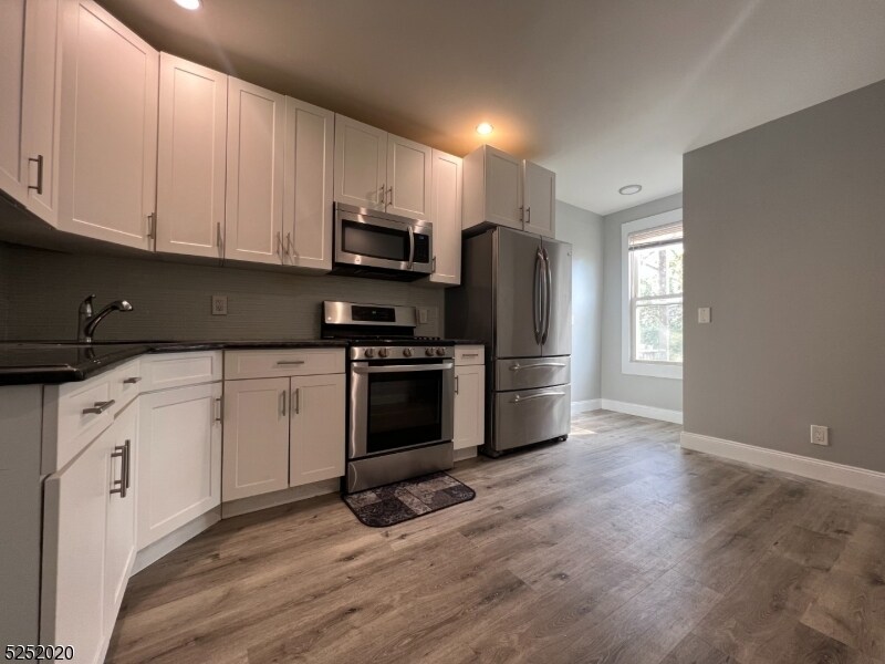
100 Davenport Ave
Newark, NJ 07107
2 Weeks Ago
Favorites
-
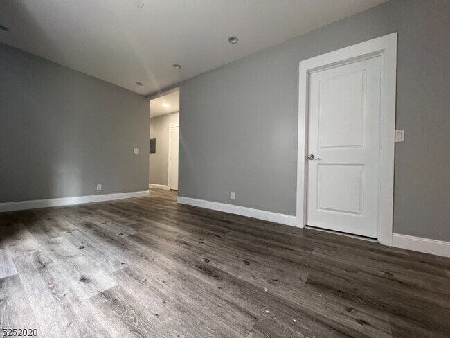
Bedrooms
3
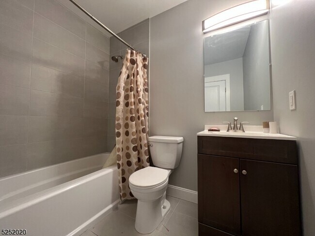
-
Bathrooms
1
-
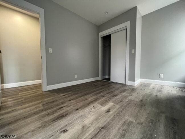
Square Feet
1,000 sq ft
100 Davenport Ave

Favorites
About This Home
---- SCHEDULE A SHOWING ONLINE AT: ----
100 Davenport Ave is a condo located in Essex County and the 07107 ZIP Code.
* Price shown is base rent. Excludes user-selected optional fees and variable or usage-based fees and required charges due at or prior to move-in or at move-out. Price, availability, fees, and any applicable rent special are subject to change without notice.
* Square footage definitions vary. Displayed square footage is approximate.
Contact
- Listed by Locayt
Location
Get Directions
Located just three miles north of Downtown Newark, the Upper Roseville area offers an array of affordable apartments for rent. Mass transit makes commuting simple. The Newark light rail will bring you to Midtown Manhattan in just an hour. Branch Brook Park sits next to the neighborhood, offering its famous cherry trees. The park also offers a playground, basketball and tennis courts, and ball fields. Be sure to check out the annual summer concert by the New Jersey Symphony Orchestra at the park. A variety of cuisines can be found in this charming neighborhood like Calandra’s Bakery.
Learn more about living in Upper Roseville
Education
| Colleges & Universities | Distance | ||
|---|---|---|---|
| Colleges & Universities | Distance | ||
| Drive: | 4 min | 1.9 mi | |
| Drive: | 5 min | 2.5 mi | |
| Drive: | 6 min | 2.7 mi | |
| Drive: | 6 min | 3.0 mi |
100 Davenport Ave is within 4 minutes or 1.9 miles from Bloomfield College. It is also near Rutgers, Newark Campus and N.J. Inst. of Technology.
Transportation options available in Newark include Davenport Avenue, located 0.3 mile from 100 Davenport Ave. 100 Davenport Ave is near Newark Liberty International, located 8.4 miles or 14 minutes away, and LaGuardia, located 28.6 miles or 44 minutes away.
| Transit / Subway | Distance | ||
|---|---|---|---|
| Transit / Subway | Distance | ||
|
|
Walk: | 6 min | 0.3 mi |
|
|
Walk: | 11 min | 0.6 mi |
|
|
Walk: | 12 min | 0.7 mi |
|
|
Walk: | 12 min | 0.7 mi |
|
|
Walk: | 16 min | 0.9 mi |
| Commuter Rail | Distance | ||
|---|---|---|---|
| Commuter Rail | Distance | ||
|
|
Drive: | 2 min | 1.2 mi |
|
|
Drive: | 3 min | 1.7 mi |
|
|
Drive: | 5 min | 2.4 mi |
|
|
Drive: | 5 min | 2.5 mi |
|
|
Drive: | 6 min | 3.0 mi |
| Airports | Distance | ||
|---|---|---|---|
| Airports | Distance | ||
|
Newark Liberty International
|
Drive: | 14 min | 8.4 mi |
|
LaGuardia
|
Drive: | 44 min | 28.6 mi |
Time and distance from 100 Davenport Ave.
| Shopping Centers | Distance | ||
|---|---|---|---|
| Shopping Centers | Distance | ||
| Walk: | 4 min | 0.2 mi | |
| Walk: | 12 min | 0.6 mi | |
| Walk: | 17 min | 0.9 mi |
100 Davenport Ave has 3 shopping centers within 0.9 mile, which is about a 17-minute walk. The miles and minutes will be for the farthest away property.
| Parks and Recreation | Distance | ||
|---|---|---|---|
| Parks and Recreation | Distance | ||
|
Branch Brook Park
|
Drive: | 4 min | 1.5 mi |
|
Newark Museum and Dreyfuss Planetarium
|
Drive: | 5 min | 2.6 mi |
|
Edison National Historic Site
|
Drive: | 9 min | 4.2 mi |
|
Kearny Marsh
|
Drive: | 11 min | 5.1 mi |
|
Richard W. DeKorte Park
|
Drive: | 13 min | 5.2 mi |
100 Davenport Ave has 5 parks within 5.2 miles, including Branch Brook Park, Newark Museum and Dreyfuss Planetarium, and Edison National Historic Site.
| Hospitals | Distance | ||
|---|---|---|---|
| Hospitals | Distance | ||
| Drive: | 5 min | 2.6 mi | |
| Drive: | 6 min | 2.9 mi | |
| Drive: | 6 min | 2.9 mi |
100 Davenport Ave has 3 hospitals within 2.9 miles, the nearest is Saint Michael's Medical Center which is 2.6 miles away and a 5 minute drive.
| Military Bases | Distance | ||
|---|---|---|---|
| Military Bases | Distance | ||
| Drive: | 19 min | 12.2 mi | |
| Drive: | 29 min | 14.2 mi | |
| Drive: | 35 min | 20.3 mi |
100 Davenport Ave has 3 military bases within 20.3 miles, the nearest is Military Ocean Terminal which is 12.2 miles away and a 19 minute drive.
You May Also Like
Similar Rentals Nearby


What Are Walk Score®, Transit Score®, and Bike Score® Ratings?
Walk Score® measures the walkability of any address. Transit Score® measures access to public transit. Bike Score® measures the bikeability of any address.
What is a Sound Score Rating?
A Sound Score Rating aggregates noise caused by vehicle traffic, airplane traffic and local sources

100 Davenport Ave
Newark, NJ 07107