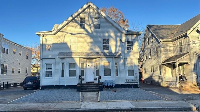
Propiedad bien ubicada a solo minutos del centro de Framingham. A aproximadamente 5 minutos en coche o 15 minutos a pie de tiendas, restaurantes, tren de cercanías y transporte público: fácil acceso a las principales rutas, servicios locales y comodidades cotidianas. MLS# 73462498
10 Eames St is a townhome located in Middlesex County and the 01702 ZIP Code. This area is served by the Framingham attendance zone.
* Price shown is total price based on community-supplied monthly required fees. Excludes user-selected optional fees and variable or usage-based fees and required charges due at or prior to move-in or at move-out. Price, availability, fees, and any applicable rent special are subject to change without notice.
* Square footage definitions vary. Displayed square footage is approximate.
Home Details
Bedrooms and Bathrooms
1 Full Bathroom4 Bedrooms
Home Design
Property AttachedEntry on the 2nd floor
Interior Spaces
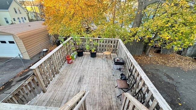
700 Sq Ft Home
Kitchen
Microwave
Laundry
Laundry in unit
Listing and Financial Details
Security Deposit $3,500Rent includes hot water, water
Location
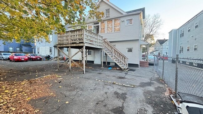
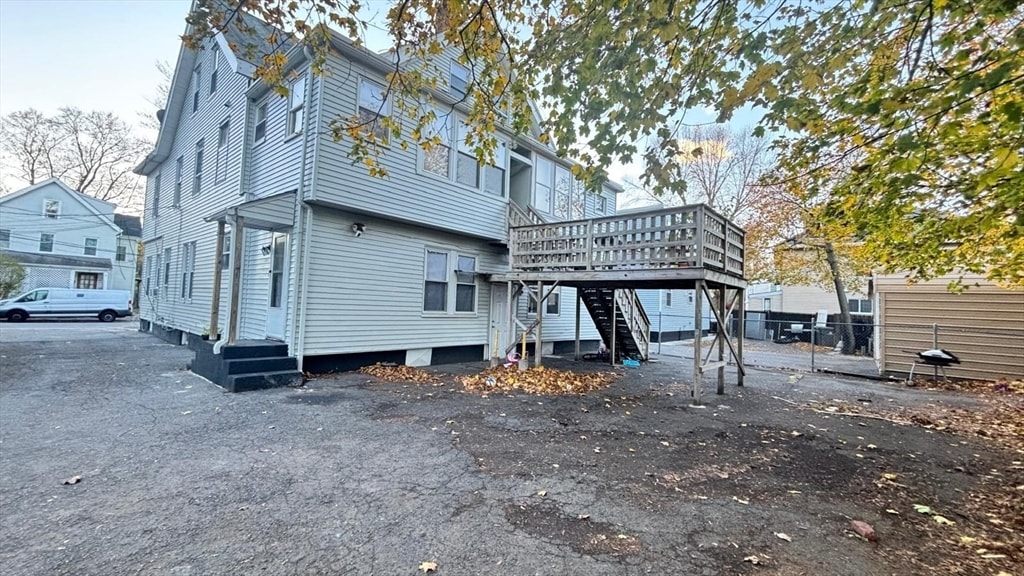
Property is near public transit and schools
Parking
2 Open Parking Spaces2 Car Parking Spaces
Utilities
No CoolingElectric Baseboard Heater
Community Details
Amenities
Shops
Overview
Property has a Home Owners Association
Pet Policy
No Pets Allowed
Fees and Policies
The fees listed below are community-provided and may exclude utilities or add-ons. All payments are made directly to the property and are non-refundable unless otherwise specified. Use the Cost Calculator to determine costs based on your needs.
One-Time Basics
Due at Move-In
Security Deposit - Refundable
Charged per unit.
$3,500
Property Fee Disclaimer: Based on community-supplied data and independent market research. Subject to change without notice. May exclude fees for mandatory or optional services and usage-based utilities.
Contact
Listed byLeomara Lacerda Silva | Mega Realty Services
Just west of Boston and East of Worcester sits Metro West, a region that houses a group of towns and cities with significant historical backgrounds. A total of 19 municipalities make up the core of this community, but other municipalities are considered to be a part of the Interstate 495/Metro West Corridor.
School data provided by
The GreatSchools Rating helps parents compare schools within a state based on a variety of school quality indicators and provides a helpful picture of how effectively each school serves all of its students. Ratings are on a scale of 1 (below average) to 10 (above average) and can include test scores, college readiness, academic progress, advanced courses, equity, discipline and attendance data. We also advise parents to visit schools, consider other information on school performance and programs, and consider family needs as part of the school selection process.
View GreatSchools Rating Methodology
Transportation options available in Framingham include Woodland Station, located 11.1 miles from 10 Eames St. 10 Eames St is near General Edward Lawrence Logan International, located 25.4 miles or 40 minutes away, and Worcester Regional, located 26.8 miles or 48 minutes away.
Good News! This rental is accepting applications through Apartments.com. Act now and your $ purchase will include 9 additional FREE application submissions to participating properties.
What Are Walk Score®, Transit Score®, and Bike Score® Ratings?
Walk Score® measures the walkability of any address. Transit Score® measures access to public transit. Bike Score® measures the bikeability of any address.