
Amador Lakes Apartments
8105 N Lake Dr,
Dublin, CA 94568
$2,479 - $3,200
1-2 Beds
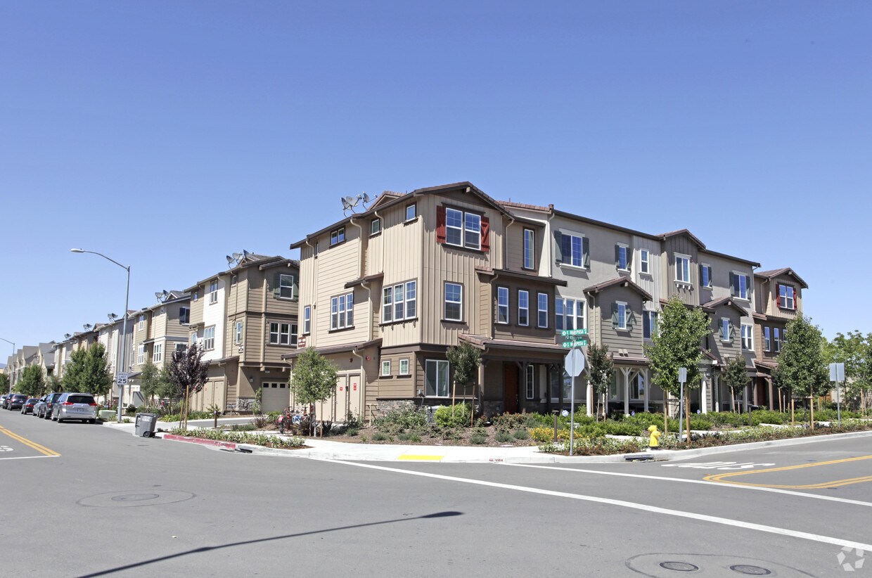
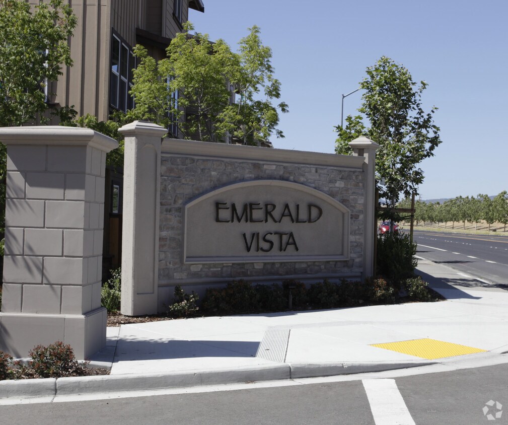
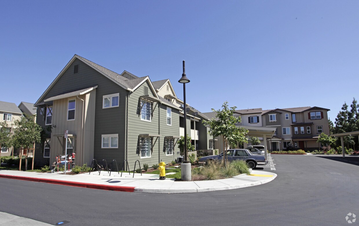
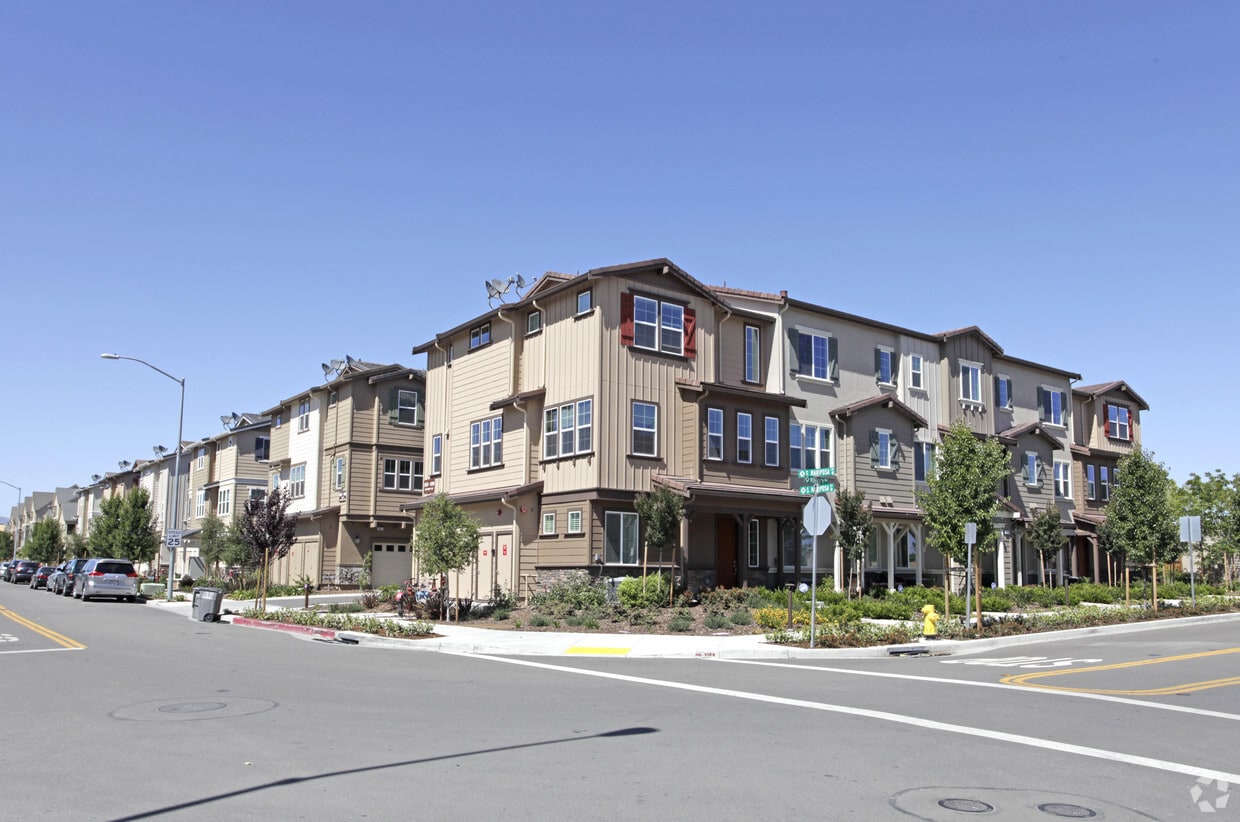
Wexford Way Apartments at Emerald Vista offers a blend of comfort, style, and quality. This community is located on Dougherty Rd. in the 94568 area of Dublin. The leasing team will assist you in finding your perfect home. This community provides 1 to 4 bedroom floor plans. At Wexford Way Apartments at Emerald Vista you're right at home.
Wexford Way is an apartment community located in Alameda County and the 94568 ZIP Code. This area is served by the Dublin Unified attendance zone.
Clubhouse
Day Care
24 Hour Access
Property Manager on Site
High Speed Internet Access
Microwave
Refrigerator
Smoke Free
The cities of Livermore, Dublin and Pleasanton form a loosely shaped triangle within California's Tri-Valley region, a cluster of three small valleys about 33 miles east of San Francisco and 35 miles northeast of San Jose. Known for its Mediterranean climate, rolling hills and historic vineyards, this once bucolic region now boasts three separate downtown areas, a bustling business community and some of the best wineries in the state.
At the eastern end of the region lies the city of Livermore. Once known as Livermores, Livermore Ranch and Nottingham, the city sits at the center of Livermore Valley, a historic region dotted with more than 5,000 acres of mostly family-owned vineyards. A pastoral neighborhood known for its charming yet functional hilltop windmills, Livermore hosts the internationally recognized and sometimes controversial center of scientific research, Lawrence Livermore National Laboratories.
Learn more about living in Dublin/Pleasanton/Livermore| Colleges & Universities | Distance | ||
|---|---|---|---|
| Colleges & Universities | Distance | ||
| Drive: | 7 min | 3.2 mi | |
| Drive: | 14 min | 8.4 mi | |
| Drive: | 22 min | 14.2 mi | |
| Drive: | 25 min | 15.8 mi |


Transportation options available in Dublin include Dublin Pleasanton Station, located 1.6 miles from Wexford Way. Wexford Way is near Metro Oakland International, located 20.5 miles or 27 minutes away, and Norman Y Mineta San Jose International, located 31.4 miles or 41 minutes away.
| Transit / Subway | Distance | ||
|---|---|---|---|
| Transit / Subway | Distance | ||
|
|
Drive: | 3 min | 1.6 mi |
|
|
Drive: | 3 min | 2.1 mi |
|
|
Drive: | 16 min | 12.1 mi |
|
|
Drive: | 25 min | 15.3 mi |
| Commuter Rail | Distance | ||
|---|---|---|---|
| Commuter Rail | Distance | ||
| Drive: | 11 min | 6.6 mi | |
| Drive: | 11 min | 6.7 mi | |
| Drive: | 15 min | 9.8 mi | |
| Drive: | 15 min | 10.0 mi | |
| Drive: | 17 min | 12.6 mi |
| Airports | Distance | ||
|---|---|---|---|
| Airports | Distance | ||
|
Metro Oakland International
|
Drive: | 27 min | 20.5 mi |
|
Norman Y Mineta San Jose International
|
Drive: | 41 min | 31.4 mi |
Time and distance from Wexford Way.
| Shopping Centers | Distance | ||
|---|---|---|---|
| Shopping Centers | Distance | ||
| Walk: | 13 min | 0.7 mi | |
| Walk: | 15 min | 0.8 mi | |
| Walk: | 17 min | 0.9 mi |
| Parks and Recreation | Distance | ||
|---|---|---|---|
| Parks and Recreation | Distance | ||
|
Dublin Hills Regional Parks
|
Drive: | 15 min | 5.1 mi |
|
Shadow Cliffs Regional Recreation Area
|
Drive: | 15 min | 6.1 mi |
|
Bishop Ranch Regional Preserve
|
Drive: | 12 min | 7.6 mi |
|
Cull Canyon Regional Recreation Area
|
Drive: | 17 min | 10.8 mi |
|
Pleasanton Ridge Regional Park
|
Drive: | 17 min | 11.2 mi |
| Hospitals | Distance | ||
|---|---|---|---|
| Hospitals | Distance | ||
| Drive: | 7 min | 3.9 mi | |
| Drive: | 13 min | 8.8 mi |
What Are Walk Score®, Transit Score®, and Bike Score® Ratings?
Walk Score® measures the walkability of any address. Transit Score® measures access to public transit. Bike Score® measures the bikeability of any address.
What is a Sound Score Rating?
A Sound Score Rating aggregates noise caused by vehicle traffic, airplane traffic and local sources
6700 Dougherty Rd
Dublin, CA 94568


