Westwood Apartments

499 W San Antonio St, Lockhart, TX 78644

Share Listing
Favorites
Westwood Apartments
Share Listing
Favorites

About Westwood Apartments

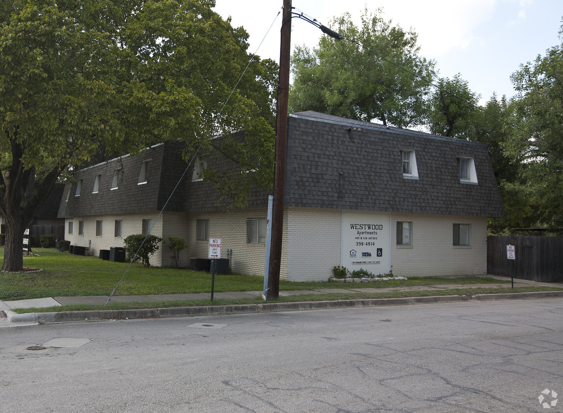
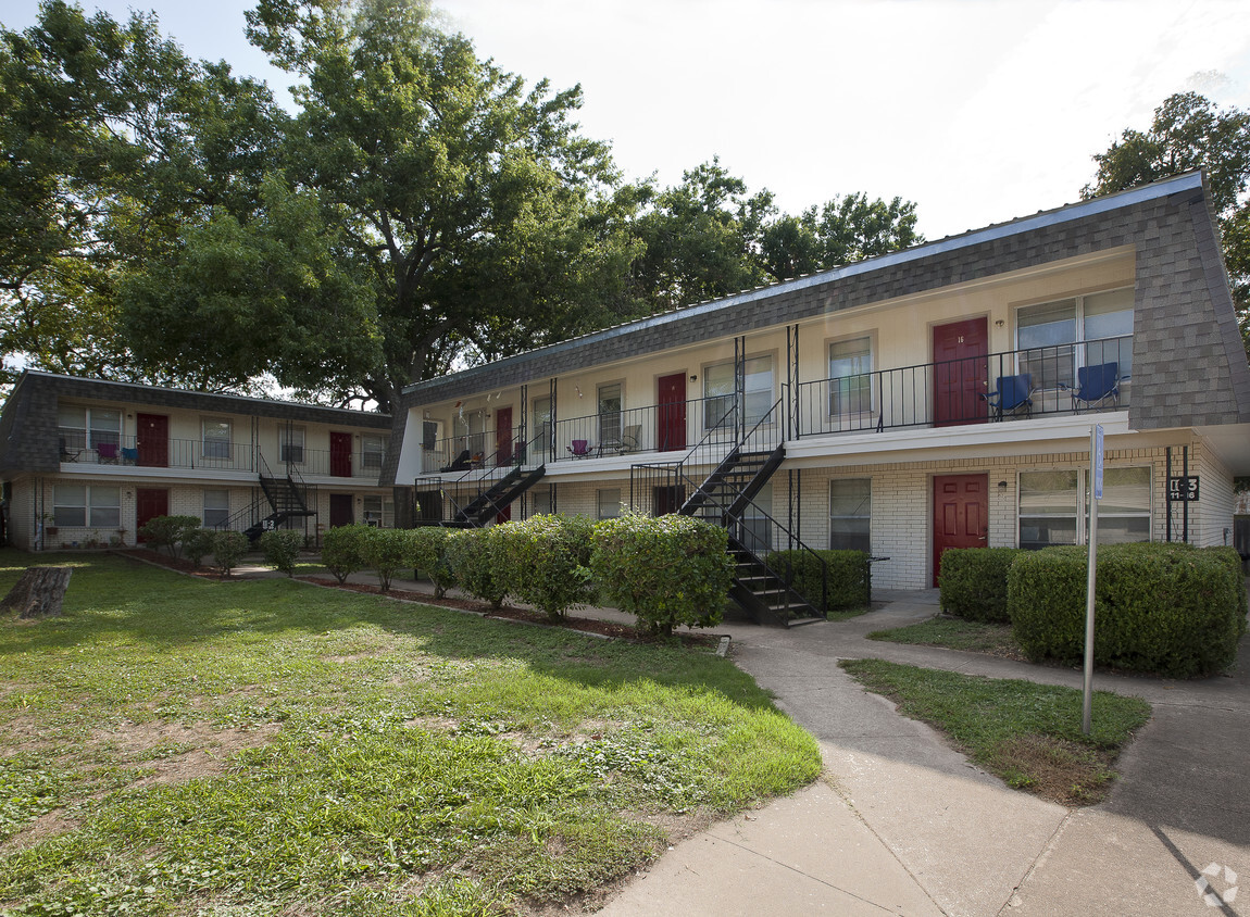
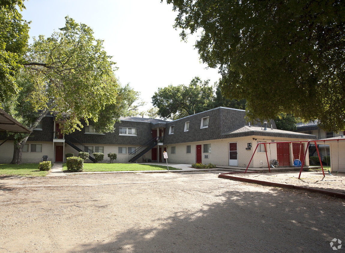
Explore a new place to live at Westwood Apartments in Lockhart, TX. This community is located in Lockhart on W. San Antonio St. in the 78644 area. The leasing team is waiting to show you all that this community has to offer. Make sure you to see the current floorplan options. Come see Westwood Apartments today.

Westwood Apartments is an apartment community located in Caldwell County and the 78644 ZIP Code. This area is served by the Lockhart Independent School District attendance zone.

Apartment Features

  • Air Conditioning
  • Kitchen
  • Range
Location
499 W San Antonio St, Lockhart,
TX 78644
Get Directions
Education
Colleges & Universities Distance
Drive: 24 min 17.6 mi
Drive: 36 min 26.9 mi
Drive: 38 min 30.1 mi
Drive: 42 min 32.6 mi
Westwood Apartments is within 24 minutes or 17.6 miles from Tx. State Univ., San Marcos. It is also near St. Edward's University and Austin C.C., South Austin.
Schools
Public Elementary, Middle & High School
Grades K-12
159 Students
Nearby
Public Elementary School
Grades K-5
550 Students
Nearby
Public Elementary School
Grades K-5
523 Students
Nearby
Public Elementary School
Grades K-5
580 Students
Attendance Zone
Public Elementary School
Grades K-5
517 Students
Attendance Zone
Public Middle School
Grades 6-8
1,433 Students
Attendance Zone
Public High School
Grades 9-12
1,968 Students
Attendance Zone
Private Elementary, Middle & High School
Grades K-12
Nearby
Grades 9-12
11 Students
Nearby
Transportation

Westwood Apartments is near Austin-Bergstrom International, located 24.1 miles or 31 minutes away.

Commuter Rail Distance
Drive: 25 min 18.1 mi
Drive: 40 min 30.7 mi
Airports Distance
Airports Distance
Austin-Bergstrom International
Drive: 31 min 24.1 mi

Walkability Near Westwood Apartments

Getting Around
Fairly Walkable
Walkability
40 / 100
Exceptionally Drivable
Drivability
90 / 100
Somewhat Bikeable
Bikeability
30 / 100

Scores provided by

What do Walkability, Transit, Drivability, and Bikeability mean? Walkability measures the walking distance to day-to-day needs. Transit measures access to public transportation. Drivability measures congestion, parking availability, and access to major roads. Bikeability measures the suitability for cycling. How It Works
-
Soundscore
- / 100

Traffic

-

Airport

-

Businesses

-

Scores provided by

HowLoud What is a Sound Score Rating? A Sound Score Rating aggregates noise caused by vehicle traffic, airplane traffic and local sources. How It Works
Points of Interest

Time and distance from Westwood Apartments.

Shopping Centers Distance
Drive: 3 min 1.8 mi
Drive: 4 min 2.0 mi
Drive: 5 min 2.2 mi
Westwood Apartments has 3 shopping centers within 2.2 miles, which is about a 5-minute drive. The miles and minutes will be for the farthest away property.
Parks and Recreation Distance
Lockhart State Park
Drive: 9 min 3.6 mi
Westwood Apartments has a nearby park, Lockhart State Park , located 3.6 miles or 9 minutes away.
Military Bases Distance
Drive: 66 min 56.0 mi
Drive: 67 min 62.4 mi
Westwood Apartments is 56.0 miles from Randolph Air Force Base, and is convenient to other military bases, including Martindale Army Airfield.

Explore Similar Rentals Nearby