
$3,500 / Month
2743 Westervelt Ave Unit 2F
The Bronx, NY 10469
2 Weeks Ago
Favorites
WESTERVELT AVENUE

Favorites
Check Back Soon for Upcoming Availability
| Beds | Baths | Average SF |
|---|---|---|
| 3 Bedrooms 3 Bedrooms 3 Br | 2 Baths 2 Baths 2 Ba | — |
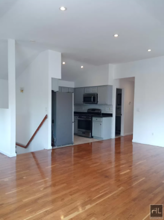
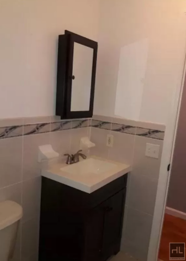
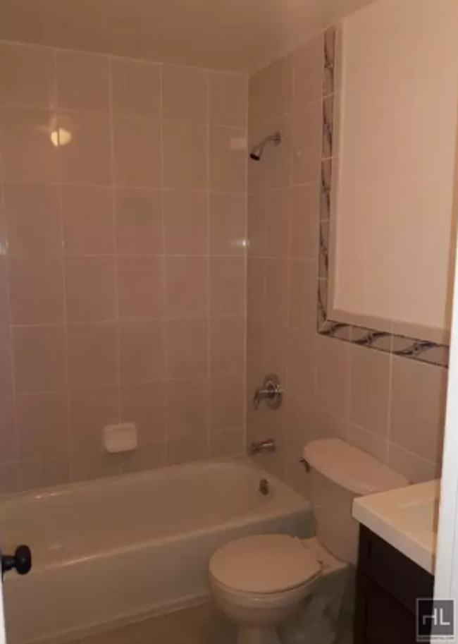
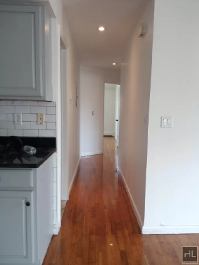
About This Property
Description coming soon, please contact your Highline Residential agent for more information ===Ref:1928645===
WESTERVELT AVENUE is an apartment community located in Bronx County and the 10469 ZIP Code.
Location
Get Directions
Pelham Gardens is a walkable neighborhood in the Bronx. It’s so easy in fact – its boundaries make up less than half a square mile – so put on your walking shoes and start exploring! On your journey, you’ll discover a bevy of oak trees alongside city streets, plus numerous medical practices and area hospitals.
Subway Line 5 is the primary public transportation route of Pelham Gardens. Just a short drive or bus ride away are the restaurants and shops of the Bay Plaza Shopping Center. The Bronx Zoo and New York Botanical Gardens are within walking distance. Popular eateries in Pelham Gardens include Italian-style fare at Fratelli on Eastchester Road and Sal & Dom’s Pastry Shop on Allerton Avenue.
Learn more about living in Pelham GardensBelow are rent ranges for similar nearby apartments
Education
| Colleges & Universities | Distance | ||
|---|---|---|---|
| Colleges & Universities | Distance | ||
| Drive: | 2 min | 1.2 mi | |
| Drive: | 9 min | 3.4 mi | |
| Drive: | 8 min | 3.7 mi | |
| Drive: | 9 min | 4.1 mi |
WESTERVELT AVENUE is within 2 minutes or 1.2 miles from Yeshiva Univ., Resnick. It is also near Fordham University, Rose Hill and Lehman College.
Transportation options available in The Bronx include Gun Hill Road (5 Line), located 0.4 mile from WESTERVELT AVENUE. WESTERVELT AVENUE is near Laguardia, located 10.6 miles or 20 minutes away, and Westchester County, located 20.2 miles or 31 minutes away.
| Transit / Subway | Distance | ||
|---|---|---|---|
| Transit / Subway | Distance | ||
|
|
Walk: | 8 min | 0.4 mi |
|
|
Drive: | 3 min | 1.4 mi |
|
|
Drive: | 4 min | 1.5 mi |
|
|
Drive: | 3 min | 1.5 mi |
|
|
Drive: | 6 min | 2.0 mi |
| Commuter Rail | Distance | ||
|---|---|---|---|
| Commuter Rail | Distance | ||
|
|
Drive: | 4 min | 1.8 mi |
|
|
Drive: | 7 min | 2.7 mi |
|
|
Drive: | 6 min | 3.3 mi |
|
|
Drive: | 7 min | 3.5 mi |
|
|
Drive: | 7 min | 3.9 mi |
| Airports | Distance | ||
|---|---|---|---|
| Airports | Distance | ||
|
Laguardia
|
Drive: | 20 min | 10.6 mi |
|
Westchester County
|
Drive: | 31 min | 20.2 mi |
Time and distance from WESTERVELT AVENUE.
| Shopping Centers | Distance | ||
|---|---|---|---|
| Shopping Centers | Distance | ||
| Walk: | 8 min | 0.4 mi | |
| Walk: | 9 min | 0.5 mi | |
| Walk: | 11 min | 0.6 mi |
WESTERVELT AVENUE has 3 shopping centers within 0.6 mile, which is about a 11-minute walk. The miles and minutes will be for the farthest away property.
| Parks and Recreation | Distance | ||
|---|---|---|---|
| Parks and Recreation | Distance | ||
|
Seton Falls Park
|
Drive: | 4 min | 2.1 mi |
|
Pelham Bay Park
|
Drive: | 5 min | 2.5 mi |
|
Bartow-Pell Woods
|
Drive: | 7 min | 3.0 mi |
|
New York Botanical Garden
|
Drive: | 11 min | 3.7 mi |
|
Bronx Park
|
Drive: | 10 min | 3.9 mi |
WESTERVELT AVENUE has 5 parks within 3.9 miles, including Seton Falls Park, Bronx Park, and Pelham Bay Park.
| Hospitals | Distance | ||
|---|---|---|---|
| Hospitals | Distance | ||
| Drive: | 4 min | 1.7 mi | |
| Drive: | 6 min | 2.1 mi | |
| Drive: | 5 min | 2.5 mi |
WESTERVELT AVENUE has 3 hospitals within 2.5 miles, the nearest is Bronx Psychiatric Center which is 1.7 miles away and a 4 minute drive.
| Military Bases | Distance | ||
|---|---|---|---|
| Military Bases | Distance | ||
| Drive: | 16 min | 8.6 mi |
WESTERVELT AVENUE is 8.6 miles and a 16 minute drive from Fort Totten US Govt Reservation.
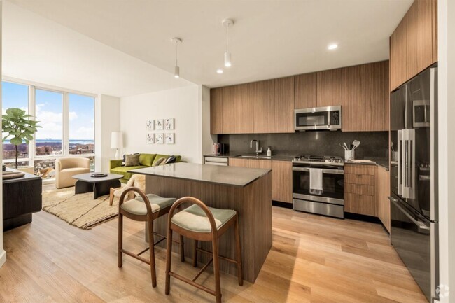
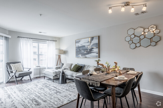
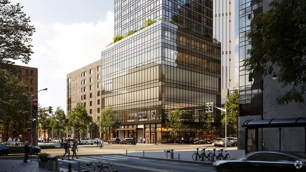
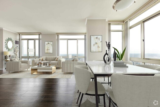
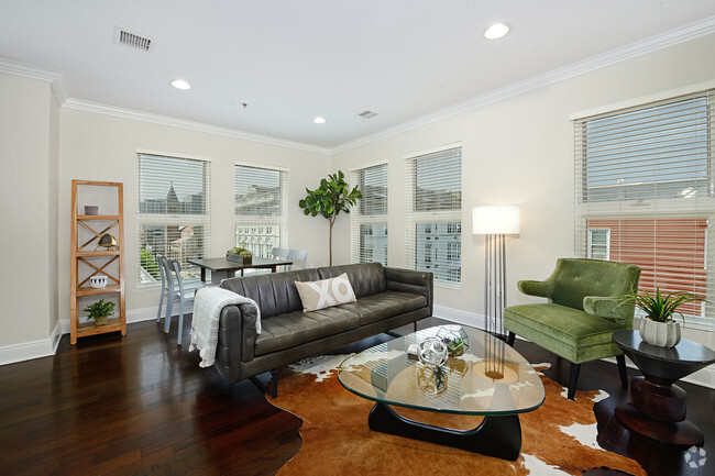
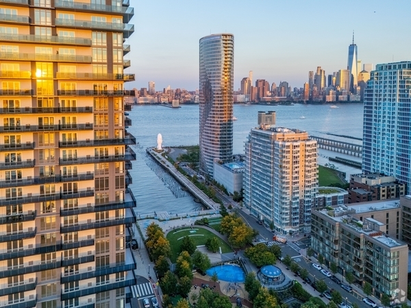
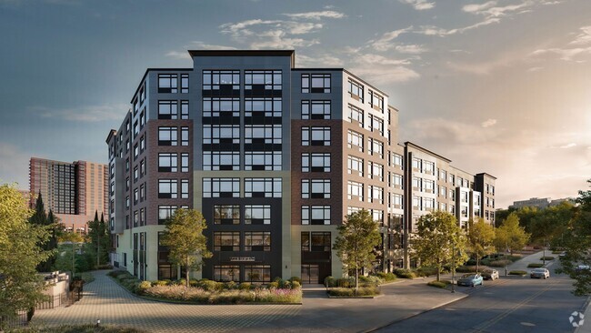
You May Also Like
Similar Rentals Nearby


What Are Walk Score®, Transit Score®, and Bike Score® Ratings?
Walk Score® measures the walkability of any address. Transit Score® measures access to public transit. Bike Score® measures the bikeability of any address.
What is a Sound Score Rating?
A Sound Score Rating aggregates noise caused by vehicle traffic, airplane traffic and local sources
2743 Westervelt Ave
The Bronx, NY 10469