
Seaview Apartments
520-550 Seaview Ave,
Staten Island, NY 10305
Call for Rent
2 Beds

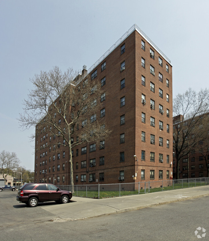
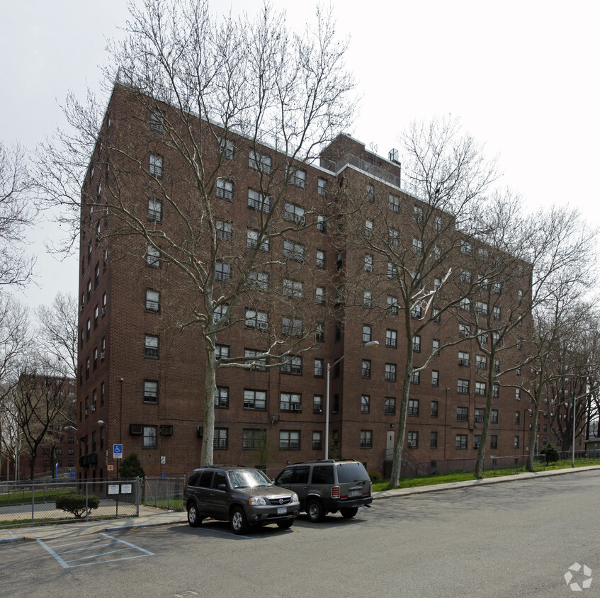
West Brighton Houses in Staten Island, NY is ready to be your home. This apartment community is located at 820 Henderson Ave in the 10310 area of Staten Island. The professional leasing staff is waiting to show you all that this community has to offer. Come for a visit to check out the apartment floorplan options. Stop by the leasing office to schedule your tour.
West Brighton Houses is an apartment community located in Richmond County and the 10310 ZIP Code. This area is served by the New York City Geographic District #31 attendance zone.
Air Conditioning
Tub/Shower
Heating
Range
Staten Island combines suburban comfort with convenient Manhattan access, making it ideal for renters who appreciate a slower pace while staying connected to city life. As the "Borough of Parks," Staten Island features over 12,300 acres of protected parkland and more than 170 parks, offering residents plenty of outdoor recreation opportunities. Housing options span from historic Victorian homes in St. George and Stapleton to contemporary apartment communities in Great Kills and New Dorp. Average rents range from $1,563 for studios to $2,335 for two-bedroom units, with moderate year-over-year increases between 1.8% to 3.2% for most unit types.
Each neighborhood brings its own character to the borough. The North Shore, especially St. George, serves as Staten Island's cultural center with landmarks like the beautifully restored St. George Theatre, Empire Outlets shopping complex, and the Staten Island Ferry terminal, offering free 24/7 service to Manhattan.
Learn more about living in Staten Island| Colleges & Universities | Distance | ||
|---|---|---|---|
| Colleges & Universities | Distance | ||
| Drive: | 10 min | 2.8 mi | |
| Drive: | 12 min | 4.4 mi | |
| Drive: | 17 min | 7.9 mi | |
| Drive: | 20 min | 9.5 mi |


Transportation options available in Staten Island include 8Th Street Light Rail Station, located 3.8 miles from West Brighton Houses. West Brighton Houses is near Newark Liberty International, located 12.1 miles or 21 minutes away, and LaGuardia, located 23.3 miles or 42 minutes away.
| Transit / Subway | Distance | ||
|---|---|---|---|
| Transit / Subway | Distance | ||
| Drive: | 9 min | 3.8 mi | |
|
|
Drive: | 11 min | 5.0 mi |
|
|
Drive: | 13 min | 5.9 mi |
|
|
Drive: | 15 min | 7.3 mi |
|
|
Drive: | 16 min | 8.0 mi |
| Commuter Rail | Distance | ||
|---|---|---|---|
| Commuter Rail | Distance | ||
|
|
Drive: | 9 min | 2.8 mi |
|
|
Drive: | 9 min | 2.9 mi |
|
|
Drive: | 10 min | 3.2 mi |
|
|
Drive: | 10 min | 3.3 mi |
|
|
Drive: | 10 min | 3.4 mi |
| Airports | Distance | ||
|---|---|---|---|
| Airports | Distance | ||
|
Newark Liberty International
|
Drive: | 21 min | 12.1 mi |
|
LaGuardia
|
Drive: | 42 min | 23.3 mi |
Time and distance from West Brighton Houses.
| Shopping Centers | Distance | ||
|---|---|---|---|
| Shopping Centers | Distance | ||
| Drive: | 4 min | 1.4 mi | |
| Drive: | 4 min | 1.8 mi | |
| Drive: | 5 min | 1.9 mi |
| Parks and Recreation | Distance | ||
|---|---|---|---|
| Parks and Recreation | Distance | ||
|
Staten Island Zoo
|
Walk: | 16 min | 0.9 mi |
|
Faber Park
|
Drive: | 3 min | 1.3 mi |
|
Staten Island Children's Museum
|
Drive: | 5 min | 1.5 mi |
|
Snug Harbor Cultural Center & Botanical Garden
|
Drive: | 5 min | 1.5 mi |
|
Westerleigh Park
|
Drive: | 6 min | 2.1 mi |
| Hospitals | Distance | ||
|---|---|---|---|
| Hospitals | Distance | ||
| Walk: | 16 min | 0.8 mi | |
| Drive: | 14 min | 5.1 mi | |
| Drive: | 12 min | 5.6 mi |
| Military Bases | Distance | ||
|---|---|---|---|
| Military Bases | Distance | ||
| Drive: | 10 min | 3.1 mi | |
| Drive: | 16 min | 7.0 mi |
What Are Walk Score®, Transit Score®, and Bike Score® Ratings?
Walk Score® measures the walkability of any address. Transit Score® measures access to public transit. Bike Score® measures the bikeability of any address.
What is a Sound Score Rating?
A Sound Score Rating aggregates noise caused by vehicle traffic, airplane traffic and local sources
820 Henderson Ave
Staten Island, NY 10310


