
The Overlook Santa Clarita
19300 Maybrook Ln,
Santa Clarita, CA 91351
$2,570 - $4,107
1-3 Beds
Villa La Paz is a charming community that is conveniently located along the northern border of Newhall and Valencia Glen. The property is just minutes away from many eclectic shops and restaurants in Downtown Newhall as well as the Westfield Valencia Town Center! The closest grocery stores are La Villa Maria Market & Tortilleria, Newhall Market and Ralphs. Nearby coffee shops include Starbucks, Manhattan Bagel and Egg Plantation. Nearby restaurants include Dario's Mexican Restaurant, Manee House and Sams Flaming Grill *Pricing Subject to Change* *Pictures of Finishes to be installed* Close To-- Downtown Newhall / Valencia / Canyon Country / Saugus / Stevenson Ranch / Santa Clarita / Castaic / Sylmar / Valencia Town Center
Villa La Paz is an apartment community located in Los Angeles County and the 91321 ZIP Code. This area is served by the William S. Hart Union High School District attendance zone.
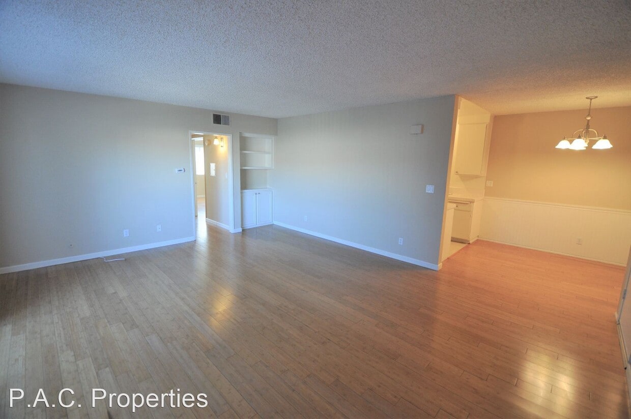
Unique Features
Pool
Laundry Facilities
Controlled Access
Gated
Air Conditioning
High Speed Internet Access
Hardwood Floors
Patio
Situated in Southern California, Santa Clarita Valley is an opulent suburb surrounded by nature preserves. The northern section of the region encompasses Castaic Lake State Recreation Park, while the eastern and western sides of the area are bordered by the Santa Clarita Woodlands Park and the Golden Valley Ranch Open Space. Also located in the valley are meandering trails that follow along the river and connect to scenic community parks. Located just 35 miles north of Los Angeles, Santa Clarita offers more than the great outdoors. Places like Six Flags Magic Mountain, sprawling golf courses, and premier shopping at plazas like Westfield Valencia Town Center are all located within Santa Clarita Valley. More shopping and retail centers can be found off Lyons Avenue and Soledad Canyon Road, while Main Street’s locally owned cafes, specialty shops, and restaurants provide a nice contrast to large commercial plazas.
Learn more about living in Santa Clarita ValleyCompare neighborhood and city base rent averages by bedroom.
| Santa Clarita Valley | Santa Clarita, CA | |
|---|---|---|
| Studio | $2,090 | $2,105 |
| 1 Bedroom | $2,338 | $2,282 |
| 2 Bedrooms | $2,684 | $2,633 |
| 3 Bedrooms | $3,284 | $3,324 |
| Colleges & Universities | Distance | ||
|---|---|---|---|
| Colleges & Universities | Distance | ||
| Drive: | 10 min | 3.8 mi | |
| Drive: | 18 min | 11.7 mi | |
| Drive: | 25 min | 13.0 mi | |
| Drive: | 35 min | 24.9 mi |


Scores provided by
Traffic
-Airport
-Businesses
-Scores provided by
HowLoud What is a Sound Score Rating? A Sound Score Rating aggregates noise caused by vehicle traffic, airplane traffic and local sources. How It WorksPets Allowed Fitness Center Pool Maintenance on site High-Speed Internet Controlled Access EV Charging
What Are Walk Score®, Transit Score®, and Bike Score® Ratings?
Walk Score® measures the walkability of any address. Transit Score® measures access to public transit. Bike Score® measures the bikeability of any address.
What is a Sound Score Rating?
A Sound Score Rating aggregates noise caused by vehicle traffic, airplane traffic and local sources.

25052 Walnut St
Santa Clarita, CA 91321


