
Adara
888 N 4th St,
Phoenix, AZ 85004
$740 - $3,375
Studio - 4 Beds

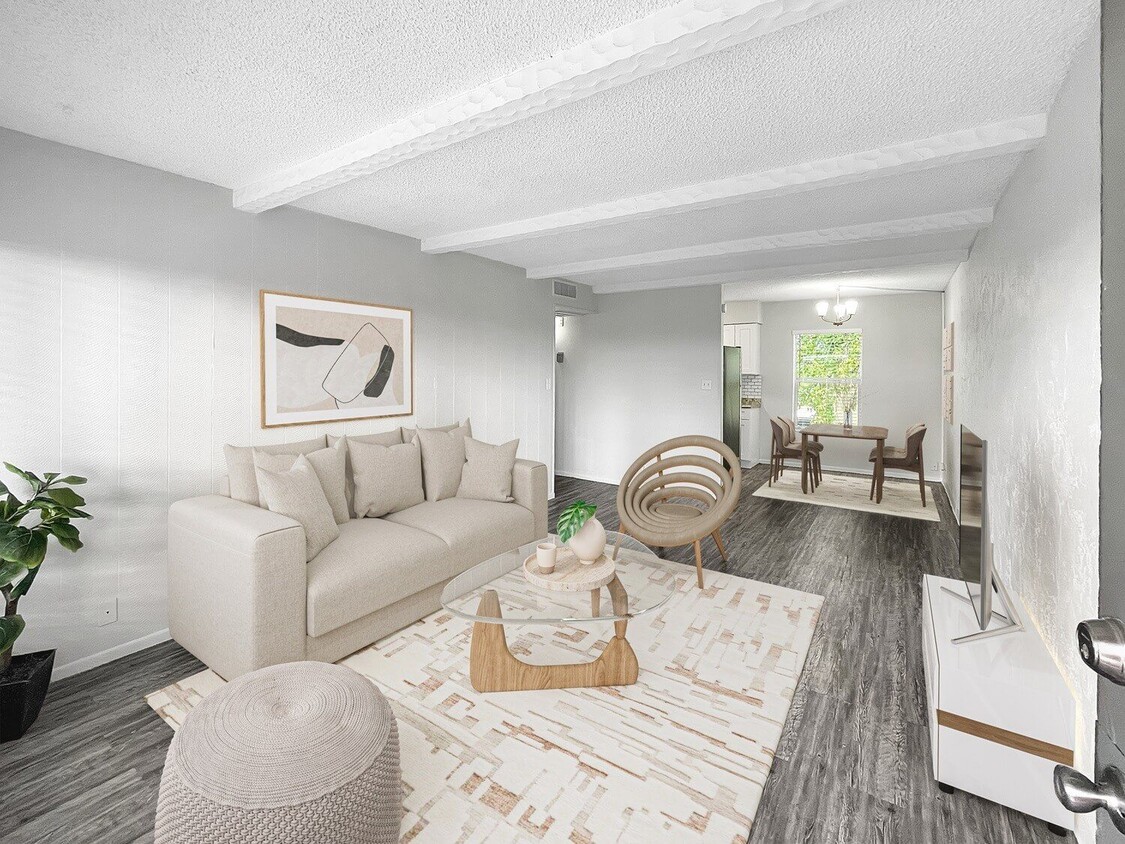
Quiet and cozy apartment living walking distance to lively uptown Phoenix entertainment, Vertical at Biltmore has the best of both worlds. Enjoy our spacious 1 and 2 bedroom floor plans with fully equipped all electric kitchens. Residents enjoy full access to our state of the art fitness center, resort style pool, and community clubhouse. We are located a walkable distance to shopping, health centers, and restaurants as well as easy Route-51 freeway access leaving you minutes from anywhere in the valley.
Vertical At Biltmore is an apartment community located in Maricopa County and the 85016 ZIP Code. This area is served by the Madison Elementary District attendance zone.
Unique Features
Pool
Fitness Center
Clubhouse
Controlled Access
Washer/Dryer
Air Conditioning
High Speed Internet Access
Walk-In Closets
North Phoenix refers to the vast swath of land that stretches from Bethany Home Road up towards the Phoenix mountains. Bounded to the east by State Route 51 and to the west by 51st Avenue, North Phoenix is home a slew of diverse communities and neighborhoods all offering a variety of rentals ranging from the upscale to the more affordable. There are numerous golf courses and of course the mountains that offer residents a number of outdoor activities to engage in. For shopping and dining, residents head to Desert Ridge Marketplace on High Street, which is filled with upscale boutiques, nightlife hotspots, restaurants, and more. Interstate 17 and Route 101 make commuting around this desirable area simple.
Learn more about living in North PhoenixCompare neighborhood and city base rent averages by bedroom.
| North Phoenix | Phoenix, AZ | |
|---|---|---|
| Studio | $1,021 | $1,093 |
| 1 Bedroom | $1,250 | $1,305 |
| 2 Bedrooms | $1,498 | $1,561 |
| 3 Bedrooms | $2,153 | $2,068 |
| Colleges & Universities | Distance | ||
|---|---|---|---|
| Colleges & Universities | Distance | ||
| Drive: | 12 min | 5.3 mi | |
| Drive: | 14 min | 5.7 mi | |
| Drive: | 12 min | 6.0 mi | |
| Drive: | 13 min | 6.1 mi |


Transportation options available in Phoenix include Central Ave/Camelback, located 3.2 miles from Vertical At Biltmore. Vertical At Biltmore is near Phoenix Sky Harbor International, located 8.9 miles or 15 minutes away, and Phoenix-Mesa Gateway, located 35.7 miles or 47 minutes away.
| Transit / Subway | Distance | ||
|---|---|---|---|
| Transit / Subway | Distance | ||
|
|
Drive: | 7 min | 3.2 mi |
|
|
Drive: | 7 min | 3.3 mi |
|
|
Drive: | 7 min | 3.3 mi |
|
|
Drive: | 7 min | 3.5 mi |
|
|
Drive: | 8 min | 3.7 mi |
| Commuter Rail | Distance | ||
|---|---|---|---|
| Commuter Rail | Distance | ||
|
|
Drive: | 47 min | 36.8 mi |
| Airports | Distance | ||
|---|---|---|---|
| Airports | Distance | ||
|
Phoenix Sky Harbor International
|
Drive: | 15 min | 8.9 mi |
|
Phoenix-Mesa Gateway
|
Drive: | 47 min | 35.7 mi |
Time and distance from Vertical At Biltmore.
| Shopping Centers | Distance | ||
|---|---|---|---|
| Shopping Centers | Distance | ||
| Walk: | 3 min | 0.2 mi | |
| Walk: | 6 min | 0.3 mi | |
| Walk: | 7 min | 0.4 mi |
| Parks and Recreation | Distance | ||
|---|---|---|---|
| Parks and Recreation | Distance | ||
|
Desert Storm Park
|
Drive: | 2 min | 1.2 mi |
|
Granada Park
|
Drive: | 5 min | 1.9 mi |
|
Tonto National Forest
|
Drive: | 8 min | 3.7 mi |
|
Steele Indian School Park
|
Drive: | 8 min | 4.0 mi |
|
Dreamy Draw Recreation Area
|
Drive: | 9 min | 6.2 mi |
| Hospitals | Distance | ||
|---|---|---|---|
| Hospitals | Distance | ||
| Drive: | 4 min | 2.1 mi | |
| Drive: | 7 min | 3.4 mi | |
| Drive: | 7 min | 3.8 mi |
| Military Bases | Distance | ||
|---|---|---|---|
| Military Bases | Distance | ||
| Drive: | 16 min | 8.8 mi | |
| Drive: | 36 min | 18.7 mi | |
| Drive: | 105 min | 80.3 mi |
What Are Walk Score®, Transit Score®, and Bike Score® Ratings?
Walk Score® measures the walkability of any address. Transit Score® measures access to public transit. Bike Score® measures the bikeability of any address.
What is a Sound Score Rating?
A Sound Score Rating aggregates noise caused by vehicle traffic, airplane traffic and local sources
6201 N 16th St
Phoenix, AZ 85016


