
The Vitagraph
1277 E 14th St,
Brooklyn, NY 11230
$3,424 - $4,304
2-3 Beds

1st Month's Rent 1 Month Security Deposit No Broker's Fee! -Top of the line renovations! -Refinished hardwood floors! -Gorgeous Kitchen with stainless steel appliances. Dishwasher and microwave! -Close to the J, M, Z and A, C, G trains -Laundry on site -Walking distance to great bars, cafes and restaurants. -Nearby Bedford-Stuyvesant
Throop is an apartment community located in Kings County and the 11221 ZIP Code. This area is served by the New York City Geographic District #16 attendance zone.
Unique Features
Bedford-Stuyvesant, often shortened to Bed-Stuy, sits in north central Brooklyn, touting plenty of classic brownstones along tree-lined streets. Bed-Stuy is revered for its historic architecture, containing one of the highest concentrations of Victorian properties in all of New York City.
Residents enjoy a strong sense of community in Bed-Stuy along with an array of diverse eateries, cafes, and bodegas. Herbert Von King Park lies at the center of the neighborhood, exuding a lively town-square atmosphere with an outdoor amphitheater, Cultural Arts Center, and athletic facilities. Convenience to public transportation and I-278 makes commuting and traveling from Bed-Stuy a breeze.
Learn more about living in Bedford-StuyvesantCompare neighborhood and city base rent averages by bedroom.
| Bedford-Stuyvesant | Brooklyn, NY | |
|---|---|---|
| Studio | $2,236 | $2,684 |
| 1 Bedroom | $2,658 | $3,005 |
| 2 Bedrooms | $3,183 | $3,936 |
| 3 Bedrooms | $3,941 | $4,889 |
| Colleges & Universities | Distance | ||
|---|---|---|---|
| Colleges & Universities | Distance | ||
| Drive: | 5 min | 1.4 mi | |
| Drive: | 5 min | 1.7 mi | |
| Drive: | 7 min | 2.3 mi | |
| Drive: | 7 min | 2.3 mi |


Transportation options available in Brooklyn include Kingston-Throop Avenues, located 0.6 mile from Throop. Throop is near LaGuardia, located 8.9 miles or 20 minutes away, and John F Kennedy International, located 11.2 miles or 22 minutes away.
| Transit / Subway | Distance | ||
|---|---|---|---|
| Transit / Subway | Distance | ||
|
|
Walk: | 12 min | 0.6 mi |
|
|
Walk: | 14 min | 0.7 mi |
|
|
Walk: | 14 min | 0.8 mi |
|
|
Walk: | 18 min | 0.9 mi |
|
|
Walk: | 19 min | 1.0 mi |
| Commuter Rail | Distance | ||
|---|---|---|---|
| Commuter Rail | Distance | ||
|
|
Drive: | 4 min | 1.2 mi |
|
|
Drive: | 7 min | 2.2 mi |
|
|
Drive: | 7 min | 2.8 mi |
|
|
Drive: | 14 min | 4.3 mi |
|
|
Drive: | 15 min | 4.5 mi |
| Airports | Distance | ||
|---|---|---|---|
| Airports | Distance | ||
|
LaGuardia
|
Drive: | 20 min | 8.9 mi |
|
John F Kennedy International
|
Drive: | 22 min | 11.2 mi |
Scores provided by
Traffic
-Airport
-Businesses
-Scores provided by
HowLoud What is a Sound Score Rating? A Sound Score Rating aggregates noise caused by vehicle traffic, airplane traffic and local sources. How It WorksTime and distance from Throop.
| Shopping Centers | Distance | ||
|---|---|---|---|
| Shopping Centers | Distance | ||
| Drive: | 7 min | 2.0 mi |
| Parks and Recreation | Distance | ||
|---|---|---|---|
| Parks and Recreation | Distance | ||
|
Hattie Carthan Garden
|
Walk: | 8 min | 0.5 mi |
|
Brooklyn Children's Museum
|
Drive: | 4 min | 1.1 mi |
|
Sternberg Park
|
Drive: | 5 min | 1.5 mi |
|
Crispus Attucks Playground
|
Drive: | 4 min | 1.5 mi |
|
St. John's Park
|
Drive: | 5 min | 1.5 mi |
| Hospitals | Distance | ||
|---|---|---|---|
| Hospitals | Distance | ||
| Walk: | 18 min | 1.0 mi | |
| Drive: | 5 min | 1.3 mi | |
| Drive: | 6 min | 2.1 mi |
| Military Bases | Distance | ||
|---|---|---|---|
| Military Bases | Distance | ||
| Drive: | 19 min | 6.9 mi | |
| Drive: | 29 min | 10.6 mi | |
| Drive: | 23 min | 11.3 mi |
What Are Walk Score®, Transit Score®, and Bike Score® Ratings?
Walk Score® measures the walkability of any address. Transit Score® measures access to public transit. Bike Score® measures the bikeability of any address.
What is a Sound Score Rating?
A Sound Score Rating aggregates noise caused by vehicle traffic, airplane traffic and local sources.
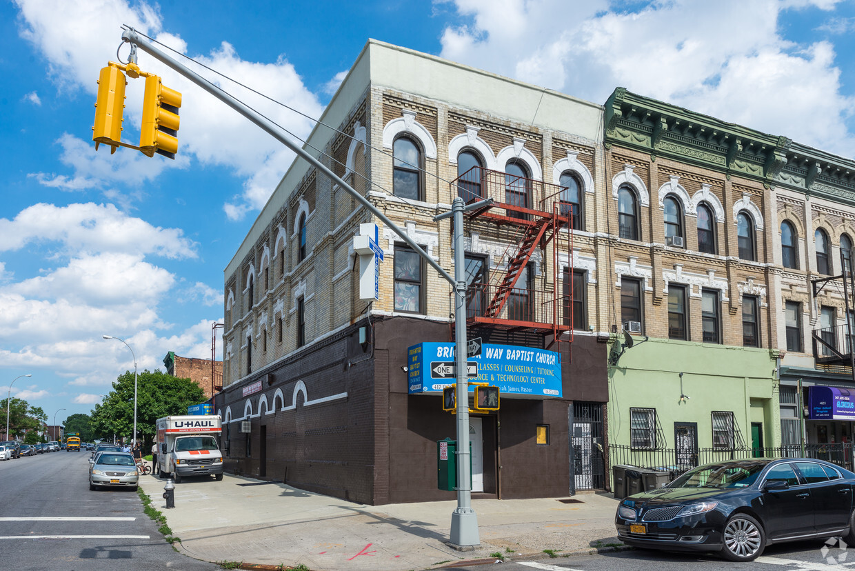
417 Throop Ave
Brooklyn, NY 11221


