
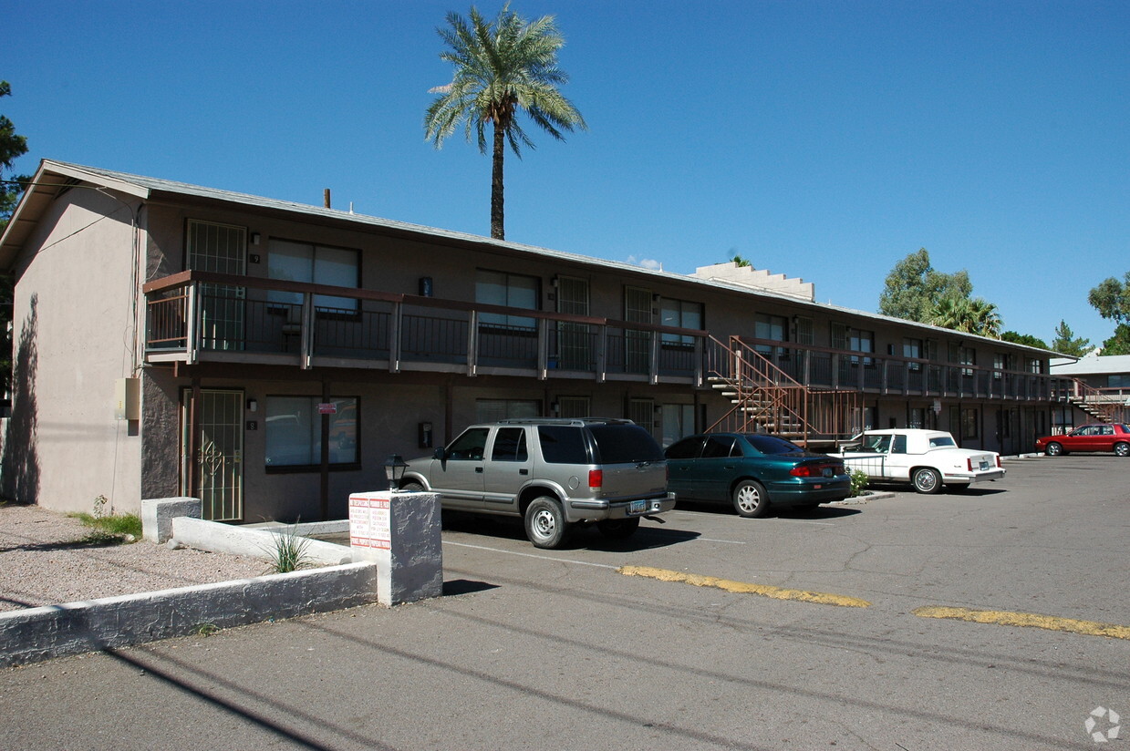
Adara
888 N 4th St,
Phoenix, AZ 85004
$740 - $3,000
Studio - 4 Beds
---- SCHEDULE A SHOWING ONLINE AT: ---- Welcome to Highland Villa! We offer Studios, and 1 bedroom apartments. Come visit our quiet community. We are located in the heart of Phoenix minutes away from downtown, SR-51, Biltmore Fashion Park, several casual and fine dining restaurants and so much more! Close to schools and shopping! Floor Plans:? 1 Bedrooms 1 Bathroom ~ 525 sq. ft. (All prices are subject to change) For more information please call Interior Amenities: Appliance Features: * Stainless steel refrigerator * Stainless steel oven with electric cooktop * Stainless steel cooktop ventilation hood * All kitchen appliances are Whirlpool * All appliances are electric (no gas bill) All Stainless Steel Appliances Brand New Appliances Lush Landscaping Newly Renovated Apartment Home Plank Flooring Through Out Water/Sewer/Trash Resident Pays $100.00
The Vines is an apartment community located in Maricopa County and the 85014 ZIP Code. This area is served by the Madison Elementary District attendance zone.
Unique Features
Laundry Facilities
Clubhouse
Grill
Picnic Area
Air Conditioning
Refrigerator
Wi-Fi
Heating
Midtown Phoenix offers a wide variety of rental communities within close proximity to major highways, the light rail, and Downtown Phoenix, making it an ideal neighborhood for commuters. Midtown Phoenix also touts exceptional dining options with a slew of cozy cafes, tasty restaurants, and modern eateries located along North Central Avenue and East Camelback Road.
Shopping opportunities abound near Midtown Phoenix as well, with retail destinations like Camelback Colonnade and Biltmore Fashion Park situated within close proximity. Midtown Phoenix is also nearby plenty of recreational activities at local parks as well as the sprawling Phoenix Mountains Preserve, which is just a short drive away.
Learn more about living in Midtown PhoenixCompare neighborhood and city base rent averages by bedroom.
| Midtown Phoenix | Phoenix, AZ | |
|---|---|---|
| Studio | $1,019 | $1,108 |
| 1 Bedroom | $1,261 | $1,301 |
| 2 Bedrooms | $1,520 | $1,560 |
| 3 Bedrooms | $2,082 | $2,058 |
| Colleges & Universities | Distance | ||
|---|---|---|---|
| Colleges & Universities | Distance | ||
| Drive: | 9 min | 3.3 mi | |
| Drive: | 10 min | 4.1 mi | |
| Drive: | 11 min | 4.4 mi | |
| Drive: | 14 min | 5.5 mi |


Transportation options available in Phoenix include Central Ave/Camelback, located 1.6 miles from The Vines. The Vines is near Phoenix Sky Harbor International, located 8.0 miles or 15 minutes away, and Phoenix-Mesa Gateway, located 34.8 miles or 48 minutes away.
| Transit / Subway | Distance | ||
|---|---|---|---|
| Transit / Subway | Distance | ||
|
|
Drive: | 4 min | 1.6 mi |
|
|
Drive: | 4 min | 1.8 mi |
|
|
Drive: | 5 min | 1.8 mi |
|
|
Drive: | 5 min | 2.2 mi |
|
|
Drive: | 6 min | 2.3 mi |
| Commuter Rail | Distance | ||
|---|---|---|---|
| Commuter Rail | Distance | ||
|
|
Drive: | 47 min | 35.9 mi |
| Airports | Distance | ||
|---|---|---|---|
| Airports | Distance | ||
|
Phoenix Sky Harbor International
|
Drive: | 15 min | 8.0 mi |
|
Phoenix-Mesa Gateway
|
Drive: | 48 min | 34.8 mi |
Time and distance from The Vines.
| Shopping Centers | Distance | ||
|---|---|---|---|
| Shopping Centers | Distance | ||
| Walk: | 9 min | 0.5 mi | |
| Walk: | 14 min | 0.7 mi | |
| Walk: | 14 min | 0.7 mi |
| Parks and Recreation | Distance | ||
|---|---|---|---|
| Parks and Recreation | Distance | ||
|
Steele Indian School Park
|
Drive: | 4 min | 1.7 mi |
|
Desert Storm Park
|
Drive: | 6 min | 2.8 mi |
|
Granada Park
|
Drive: | 8 min | 3.1 mi |
|
Tonto National Forest
|
Drive: | 8 min | 3.3 mi |
|
Margaret T. Hance Park
|
Drive: | 9 min | 4.0 mi |
| Hospitals | Distance | ||
|---|---|---|---|
| Hospitals | Distance | ||
| Drive: | 3 min | 1.2 mi | |
| Drive: | 6 min | 2.8 mi | |
| Drive: | 7 min | 3.0 mi |
| Military Bases | Distance | ||
|---|---|---|---|
| Military Bases | Distance | ||
| Drive: | 16 min | 7.9 mi | |
| Drive: | 37 min | 25.0 mi | |
| Drive: | 105 min | 77.5 mi |
What Are Walk Score®, Transit Score®, and Bike Score® Ratings?
Walk Score® measures the walkability of any address. Transit Score® measures access to public transit. Bike Score® measures the bikeability of any address.
What is a Sound Score Rating?
A Sound Score Rating aggregates noise caused by vehicle traffic, airplane traffic and local sources

1110 E Highland Ave
Phoenix, AZ 85014


