The Village at Lighthouse Point

3600 Jaeger Rd, Lorain, OH 44053

Share Listing
Favorites
The Village at Lighthouse Point
Share Listing
Favorites

About The Village at Lighthouse Point

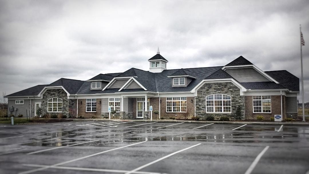
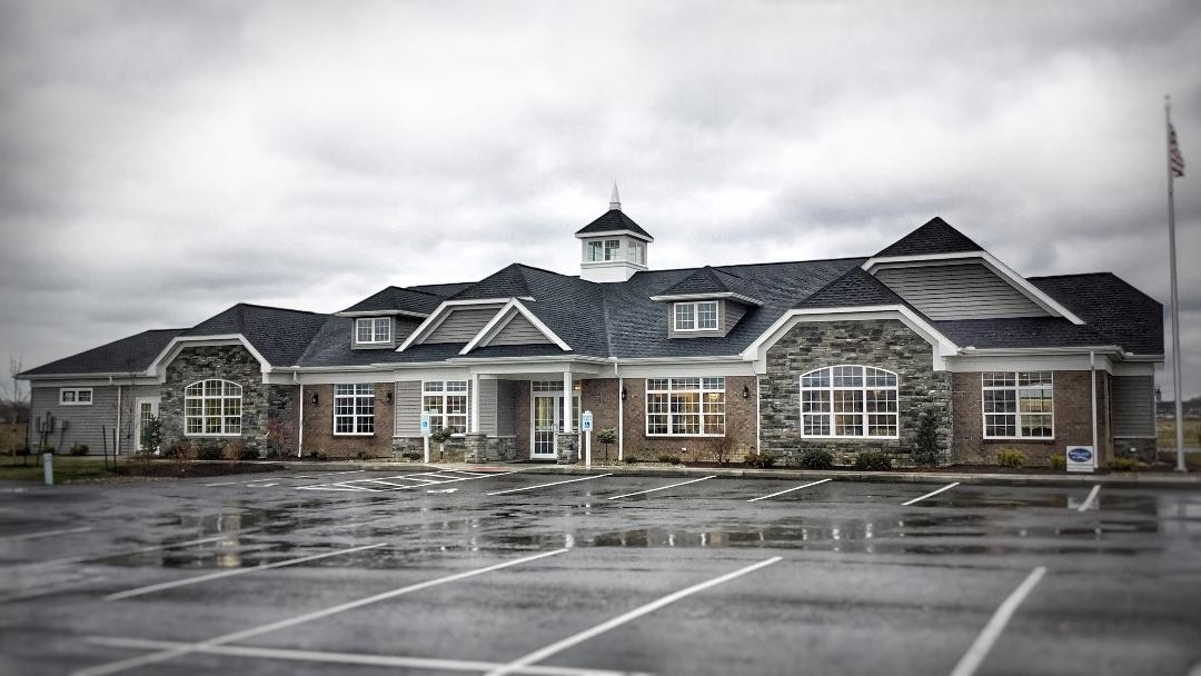
Experience Lorain living at The Village at Lighthouse Point. This community is located at 3600 Jaeger Rd. in Lorain. This community offers 1 to 2 bedroom apartments. The leasing team is available to help you find your new home. So get a head start on your move. Contact or stop by the The Village at Lighthouse Point leasing office to schedule a tour.

The Village at Lighthouse Point is an apartment community located in Lorain County and the 44053 ZIP Code. This area is served by the Lorain City School District attendance zone.

Community Amenities

  • Maintenance on site
  • Property Manager on Site
Location
3600 Jaeger Rd, Lorain,
OH 44053
Get Directions
Education
Colleges & Universities Distance
Drive: 20 min 10.1 mi
Drive: 18 min 11.0 mi
Drive: 27 min 19.0 mi
Drive: 31 min 21.8 mi
The Village at Lighthouse Point is within 18 minutes or 11.0 miles from Lorain County Comm. Coll.. It is also near Oberlin College and Cuyahoga C.C., Westshore.
Schools
Public Elementary School
Grades PK-5
322 Students
Attendance Zone
Grades 6-8
434 Students
Attendance Zone
Public High School
Grades 9-12
1,678 Students
Attendance Zone
Private Elementary, Middle & High School
Grades PK-12
110 Students
Nearby
Private Elementary & Middle School
Grades PK-8
348 Students
Nearby
Transportation

The Village at Lighthouse Point is near Cleveland-Hopkins International, located 24.6 miles or 38 minutes away.

Commuter Rail Distance
Drive: 18 min 10.4 mi
Drive: 51 min 34.4 mi
Drive: 42 min 34.6 mi
Drive: 53 min 36.7 mi
Drive: 55 min 38.2 mi
Airports Distance
Airports Distance
Cleveland-Hopkins International
Drive: 38 min 24.6 mi

Walkability Near The Village at Lighthouse Point

Getting Around
Somewhat Walkable
Walkability
30 / 100
Very Drivable
Drivability
80 / 100
Somewhat Bikeable
Bikeability
30 / 100

Scores provided by

What do Walkability, Transit, Drivability, and Bikeability mean? Walkability measures the walking distance to day-to-day needs. Transit measures access to public transportation. Drivability measures congestion, parking availability, and access to major roads. Bikeability measures the suitability for cycling. How It Works
-
Soundscore
- / 100

Traffic

-

Airport

-

Businesses

-

Scores provided by

HowLoud What is a Sound Score Rating? A Sound Score Rating aggregates noise caused by vehicle traffic, airplane traffic and local sources. How It Works
Points of Interest

Time and distance from The Village at Lighthouse Point.

Shopping Centers Distance
Walk: 13 min 0.7 mi
Drive: 5 min 1.7 mi
Drive: 5 min 1.7 mi
The Village at Lighthouse Point has 3 shopping centers within 1.7 miles, which is about a 5-minute drive. The miles and minutes will be for the farthest away property.
Parks and Recreation Distance
Amherst Beaver Creek Reservation
Drive: 10 min 3.7 mi
Lakeview Park on West Erie Avenue
Drive: 9 min 3.9 mi
Black River Landing
Drive: 10 min 4.8 mi
Black River Reservation
Drive: 16 min 8.3 mi
French Creek Reservation
Drive: 18 min 8.8 mi
The Village at Lighthouse Point has 5 parks within 8.8 miles, including Amherst Beaver Creek Reservation, Lakeview Park on West Erie Avenue, and Black River Landing.
Hospitals Distance
Hospitals Distance
Drive: 6 min 1.8 mi
Drive: 7 min 2.0 mi
Drive: 18 min 10.7 mi
The Village at Lighthouse Point has 3 hospitals within 10.7 miles, the nearest is Mercy Regional Medical Center which is 1.8 miles away and a 6 minute drive.
Military Bases Distance
Drive: 66 min 53.5 mi
Drive: 94 min 59.6 mi
The Village at Lighthouse Point is 53.5 miles from Camp Perry Air Guard Station, and is convenient to other military bases, including Mansfield Lahm Airport Air Guard Station.

Explore Similar Rentals Nearby