
Woodland Park
45 Newell Rd,
East Palo Alto, CA 94303
$1,700 - $3,300
Studio - 3 Beds
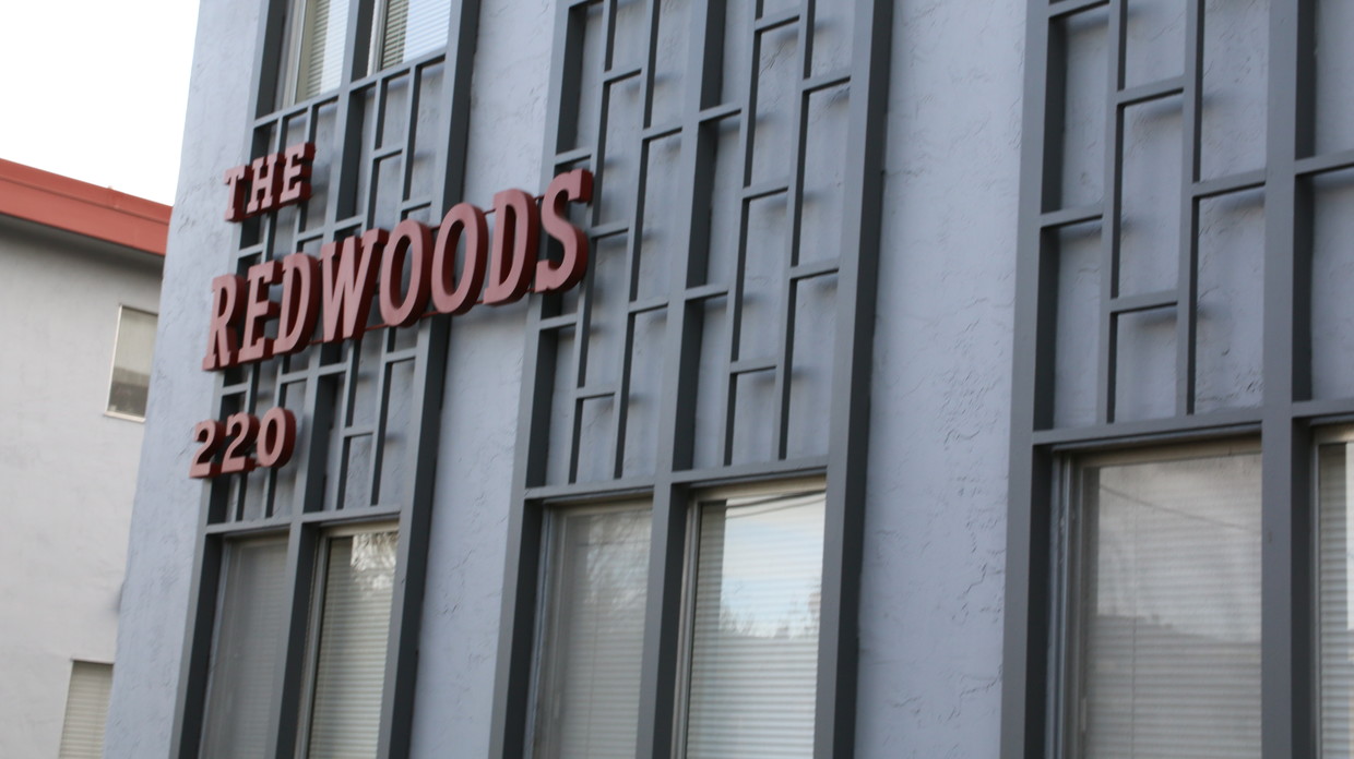

Majestic Redwood trees soar into the backdrop of The Redwoods Apartments located behind the Four Seasons Hotel off the west side of Highway 101 in E. Palo Alto. Downtown Palo Alto, Stanford University, and Amazon and Facebook campuses provide convenience in this comfortably located neighborhood. Nearby Menlo Park, Atherton, and Mountain View; the location can't be beat! Living life from up top is easy at The Redwoods, where apartment homes come fully stocked with renovations, such as Caesarstone or granite counter tops, Stainless Steel appliances, cultured marble shower and tub surrounds in the bathroom, and breezy ceiling fans. Faux wood horizontal blinds; plush carpeting in the living room, hallway, and bedrooms; and your own assigned covered parking space plus an additional, locked storage cabinet complete the look. Rest easy by the sparkling swimming pool, outdoor pool-side shower, furniture, and BBQ grill. The on-site laundry facility with plenty of machines offers a convenient lifestyle from up top at The Redwoods Apartments. Each apartment home rental rate includes water, sewage, and garbage costs.
The Redwoods is an apartment community located in San Mateo County and the 94303 ZIP Code. This area is served by the Cupertino Union attendance zone.
Pool
Laundry Facilities
Grill
24 Hour Access
Walk-In Closets
Granite Countertops
Refrigerator
Tub/Shower
Disposal
Freezer
Patio
Stainless Steel Appliances
Situated on the coast of the San Francisco Bay on the San Francisco Peninsula, East Palo Alto is a bustling city on the rise with the influx of tech companies. Friendly neighbors and distant mountain views define this small coastal town.
With its central location between San Francisco and San Jose, entertainment options are endless. Explore the delicious cuisine and fantastic bars in San Jose, or visit the plentiful museums and waterfront green space in San Francisco. Stanford University is a quick commute for East Palo Alto residents, located just five miles southwest of town, so be sure to check out its beautiful campus in nearby Stanford.
East Palo Alto offers an accessible rocky shoreline overlooking the glistening San Francisco Bay, as well as sports fields, open green space, and playgrounds in its well-kept community parks.
Learn more about living in East Palo Alto| Colleges & Universities | Distance | ||
|---|---|---|---|
| Colleges & Universities | Distance | ||
| Drive: | 10 min | 3.5 mi | |
| Drive: | 12 min | 3.7 mi | |
| Drive: | 11 min | 5.1 mi | |
| Drive: | 20 min | 9.4 mi |


Transportation options available in East Palo Alto include Bayshore Nasa Station, located 7.4 miles from The Redwoods. The Redwoods is near Norman Y Mineta San Jose International, located 15.0 miles or 21 minutes away, and San Francisco International, located 18.9 miles or 26 minutes away.
| Transit / Subway | Distance | ||
|---|---|---|---|
| Transit / Subway | Distance | ||
| Drive: | 11 min | 7.4 mi | |
|
|
Drive: | 12 min | 7.5 mi |
| Drive: | 12 min | 7.8 mi | |
|
|
Drive: | 12 min | 7.8 mi |
|
|
Drive: | 13 min | 8.0 mi |
| Commuter Rail | Distance | ||
|---|---|---|---|
| Commuter Rail | Distance | ||
| Drive: | 6 min | 1.9 mi | |
| Drive: | 7 min | 2.6 mi | |
| Drive: | 9 min | 3.2 mi | |
| Drive: | 10 min | 4.4 mi | |
| Drive: | 11 min | 5.9 mi |
| Airports | Distance | ||
|---|---|---|---|
| Airports | Distance | ||
|
Norman Y Mineta San Jose International
|
Drive: | 21 min | 15.0 mi |
|
San Francisco International
|
Drive: | 26 min | 18.9 mi |
Time and distance from The Redwoods.
| Shopping Centers | Distance | ||
|---|---|---|---|
| Shopping Centers | Distance | ||
| Drive: | 6 min | 1.6 mi | |
| Drive: | 5 min | 1.7 mi | |
| Drive: | 5 min | 2.2 mi |
| Parks and Recreation | Distance | ||
|---|---|---|---|
| Parks and Recreation | Distance | ||
|
Seminary Oaks Park
|
Walk: | 19 min | 1.0 mi |
|
Hopkins Creekside Park
|
Drive: | 4 min | 1.3 mi |
|
Junior Museum and Zoo
|
Drive: | 6 min | 1.8 mi |
|
El Palo Alto Park
|
Drive: | 6 min | 1.9 mi |
|
Rinconada Park
|
Drive: | 6 min | 1.9 mi |
| Hospitals | Distance | ||
|---|---|---|---|
| Hospitals | Distance | ||
| Drive: | 9 min | 2.8 mi | |
| Drive: | 11 min | 3.4 mi | |
| Drive: | 9 min | 5.3 mi |
| Military Bases | Distance | ||
|---|---|---|---|
| Military Bases | Distance | ||
| Drive: | 15 min | 7.9 mi |
What Are Walk Score®, Transit Score®, and Bike Score® Ratings?
Walk Score® measures the walkability of any address. Transit Score® measures access to public transit. Bike Score® measures the bikeability of any address.
What is a Sound Score Rating?
A Sound Score Rating aggregates noise caused by vehicle traffic, airplane traffic and local sources

220 E Okeefe St
East Palo Alto, CA 94303


