
Eagle Ridge Apartment Homes
28851 N Vistancia Blvd,
Peoria, AZ 85383
$1,377 - $2,170
1-3 Beds

Bedrooms
1 - 3 bd
Bathrooms
1 - 2.5 ba
Square Feet
804 - 1,467 sq ft
Discover elevated living at Honeycutt Run. Our single-family rentals feature spacious floorplans, high-end finishes, smart tech, and energy-efficient appliances. Enjoy a resort-style pool, private dog park, and stylish clubhouse, all with easy access to highways and local dining.
Discover elevated living at Honeycutt Run. Our single-family rentals feature spacious floorplans, high-end finishes, smart tech, and energy-efficient appliances. Enjoy a resort-style pool, private dog park, and stylish clubhouse, all with easy access to highways and local dining.
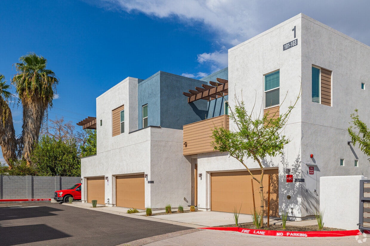
The Prescott at Park West is a townhouse community located in Maricopa County and the 85345 ZIP Code. This area is served by the Peoria Unified attendance zone.
Fitness Center
Furnished Units Available
Controlled Access
Grill
Community-Wide WiFi
Conference Rooms
Key Fob Entry
24 Hour Access
Washer/Dryer
Air Conditioning
Dishwasher
High Speed Internet Access
Hardwood Floors
Island Kitchen
Yard
Microwave
Extending south from West Peoria Avenue to West Northern Avenue, South Peoria provides easy access to Highway 101, Peoria Town Center, Sun City, Arizona State University West Campus, and Glendale Community College. Once named one of the best places to live in the US, Peoria offers a vibrant downtown with plenty to see and do. Catch a live performance at the Center for the Performing Arts or Theater Works, cheer on local sports teams at the Peoria Sports Complex, and enjoy exploring the shops along Bell Road.
Taking full advantage of the sunshine, desert landscape, and palm trees, South Peoria’s parks provide a range of outdoor activities for residents to enjoy. Thunderbird Park provides trails for walking and biking along the canal, a playground, disc golf course, and more. Those with pets will appreciate Sunnyslope Dog Park, located at the corner of West Olive Avenue and North 71st Avenue.
Learn more about living in South Peoria| Colleges & Universities | Distance | ||
|---|---|---|---|
| Colleges & Universities | Distance | ||
| Drive: | 13 min | 5.8 mi | |
| Drive: | 16 min | 9.1 mi | |
| Drive: | 17 min | 9.5 mi | |
| Drive: | 18 min | 10.1 mi |


Transportation options available in Peoria include Metro Pkwy, located 10.3 miles from The Prescott at Park West. The Prescott at Park West is near Phoenix Sky Harbor International, located 24.2 miles or 32 minutes away.
| Transit / Subway | Distance | ||
|---|---|---|---|
| Transit / Subway | Distance | ||
|
|
Drive: | 21 min | 10.3 mi |
|
|
Drive: | 21 min | 10.5 mi |
|
|
Drive: | 21 min | 10.7 mi |
|
|
Drive: | 22 min | 11.0 mi |
| Airports | Distance | ||
|---|---|---|---|
| Airports | Distance | ||
|
Phoenix Sky Harbor International
|
Drive: | 32 min | 24.2 mi |
Time and distance from The Prescott at Park West.
| Shopping Centers | Distance | ||
|---|---|---|---|
| Shopping Centers | Distance | ||
| Walk: | 2 min | 0.1 mi | |
| Walk: | 5 min | 0.3 mi | |
| Walk: | 14 min | 0.7 mi |
| Parks and Recreation | Distance | ||
|---|---|---|---|
| Parks and Recreation | Distance | ||
|
El Oso Park
|
Drive: | 13 min | 7.6 mi |
|
Wildlife World Zoo
|
Drive: | 15 min | 9.1 mi |
|
Maryvale Park
|
Drive: | 18 min | 10.2 mi |
|
Challenger Space Center
|
Drive: | 15 min | 10.3 mi |
|
Friendship Park
|
Drive: | 16 min | 10.6 mi |
| Hospitals | Distance | ||
|---|---|---|---|
| Hospitals | Distance | ||
| Drive: | 10 min | 4.7 mi | |
| Drive: | 9 min | 6.0 mi | |
| Drive: | 13 min | 6.6 mi |
| Military Bases | Distance | ||
|---|---|---|---|
| Military Bases | Distance | ||
| Drive: | 10 min | 5.3 mi | |
| Drive: | 33 min | 24.0 mi | |
| Drive: | 91 min | 69.0 mi |

What Are Walk Score®, Transit Score®, and Bike Score® Ratings?
Walk Score® measures the walkability of any address. Transit Score® measures access to public transit. Bike Score® measures the bikeability of any address.
What is a Sound Score Rating?
A Sound Score Rating aggregates noise caused by vehicle traffic, airplane traffic and local sources
8102 N 99th Ave
Peoria, AZ 85345


