
11315 76th Rd
11315 76th Rd,
Forest Hills, NY 11375
$2,000
1 Bed
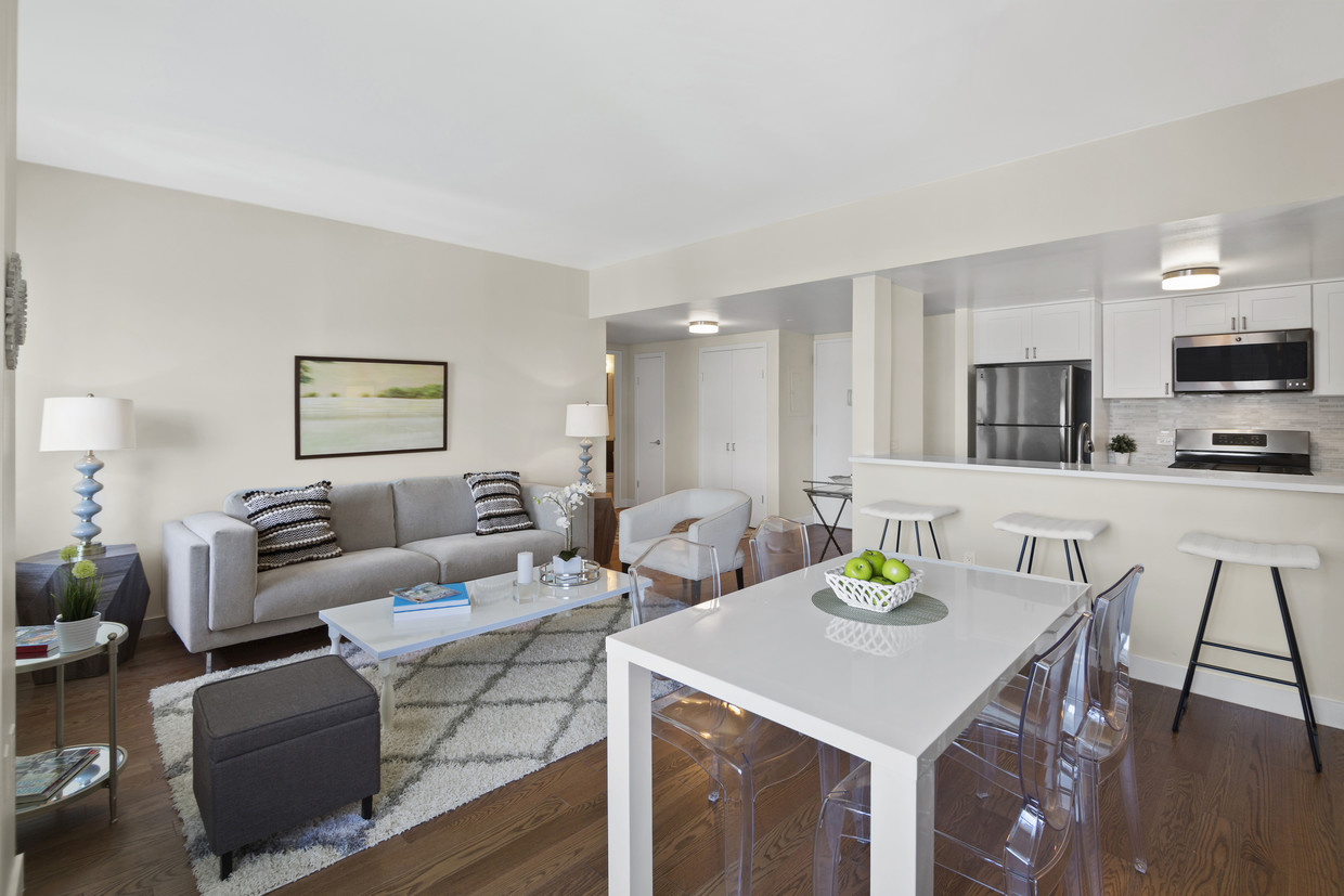
Perched on a rolling hill surrounded by lush green lawns in the heart of Queens, The Opal is an amenity-filled luxury escape designed for ultimate in urban comfort and convenience. Surrounded by pristine landscaping, a blooming common courtyard, and driveway that unfolds like a red carpet, this towering development offers studio, one, two, and three-bedroom rental residences that are true examples of precision style and world-class hospitality.
The Opal is an apartment community located in Queens County and the 11367 ZIP Code. This area is served by the New York City Geographic District #25 attendance zone.
Unique Features
Fitness Center
Laundry Facilities
Elevator
Doorman
Playground
Recycling
Grill
Gated
Dishwasher
Washer/Dryer Hookup
High Speed Internet Access
Hardwood Floors
Granite Countertops
Yard
Refrigerator
Ice Maker
Kew Gardens Hills is located in the New York City borough of Queens, just 14 miles out from Manhattan. This highly diverse neighborhood is near numerous attractions, including the Queens Museum, New York Hall of Science, Queens Botanical Garden and Citi Field, home of the New York Mets baseball team. Residents enjoy a plethora of commuting options from multiple access points to the subway stations to bus stops and the Long Island Expressway. Higher-learning education in the area includes Queens College and Lander College, as well as St. John’s University Queens campus nearby.
A multicultural population brings a variety of restaurants to the neighborhood. Main Street is dotted with numerous local shops and eateries that pay homage to the collective cultures that shape Kew Gardens Hills.
Learn more about living in Kew Gardens Hills| Colleges & Universities | Distance | ||
|---|---|---|---|
| Colleges & Universities | Distance | ||
| Drive: | 6 min | 1.7 mi | |
| Drive: | 5 min | 2.1 mi | |
| Drive: | 7 min | 2.1 mi | |
| Drive: | 10 min | 4.8 mi |


Transportation options available in Kew Gardens Hills include Parsons Boulevard, located 1.5 miles from The Opal. The Opal is near LaGuardia, located 5.9 miles or 12 minutes away, and John F Kennedy International, located 7.8 miles or 12 minutes away.
| Transit / Subway | Distance | ||
|---|---|---|---|
| Transit / Subway | Distance | ||
|
|
Drive: | 5 min | 1.5 mi |
|
|
Drive: | 4 min | 1.8 mi |
|
|
Drive: | 5 min | 1.9 mi |
|
|
Drive: | 6 min | 2.4 mi |
|
|
Drive: | 7 min | 3.2 mi |
| Commuter Rail | Distance | ||
|---|---|---|---|
| Commuter Rail | Distance | ||
|
|
Drive: | 6 min | 2.4 mi |
|
|
Drive: | 7 min | 2.4 mi |
|
|
Drive: | 6 min | 2.7 mi |
|
|
Drive: | 7 min | 2.9 mi |
|
|
Drive: | 8 min | 3.2 mi |
| Airports | Distance | ||
|---|---|---|---|
| Airports | Distance | ||
|
LaGuardia
|
Drive: | 12 min | 5.9 mi |
|
John F Kennedy International
|
Drive: | 12 min | 7.8 mi |
Time and distance from The Opal.
| Shopping Centers | Distance | ||
|---|---|---|---|
| Shopping Centers | Distance | ||
| Walk: | 14 min | 0.8 mi | |
| Drive: | 5 min | 1.9 mi | |
| Drive: | 5 min | 2.0 mi |
| Parks and Recreation | Distance | ||
|---|---|---|---|
| Parks and Recreation | Distance | ||
|
Kissena Park
|
Drive: | 5 min | 1.7 mi |
|
Rufus King Park
|
Drive: | 6 min | 2.0 mi |
|
Detective Keith L. Williams Park
|
Drive: | 8 min | 2.9 mi |
|
Flushing Meadows Corona Park
|
Drive: | 7 min | 2.9 mi |
|
Queens Botanical Garden
|
Drive: | 7 min | 3.0 mi |
| Hospitals | Distance | ||
|---|---|---|---|
| Hospitals | Distance | ||
| Drive: | 4 min | 1.1 mi | |
| Drive: | 5 min | 2.2 mi | |
| Drive: | 6 min | 2.5 mi |
| Military Bases | Distance | ||
|---|---|---|---|
| Military Bases | Distance | ||
| Drive: | 14 min | 7.7 mi | |
| Drive: | 34 min | 16.6 mi |
What Are Walk Score®, Transit Score®, and Bike Score® Ratings?
Walk Score® measures the walkability of any address. Transit Score® measures access to public transit. Bike Score® measures the bikeability of any address.
What is a Sound Score Rating?
A Sound Score Rating aggregates noise caused by vehicle traffic, airplane traffic and local sources

7525 153rd St
Kew Gardens Hills, NY 11367


