
Summerwood
21701 Foothill Blvd,
Hayward, CA 94541
$1,999 - $2,795
1-3 Beds
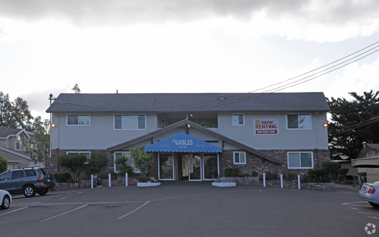
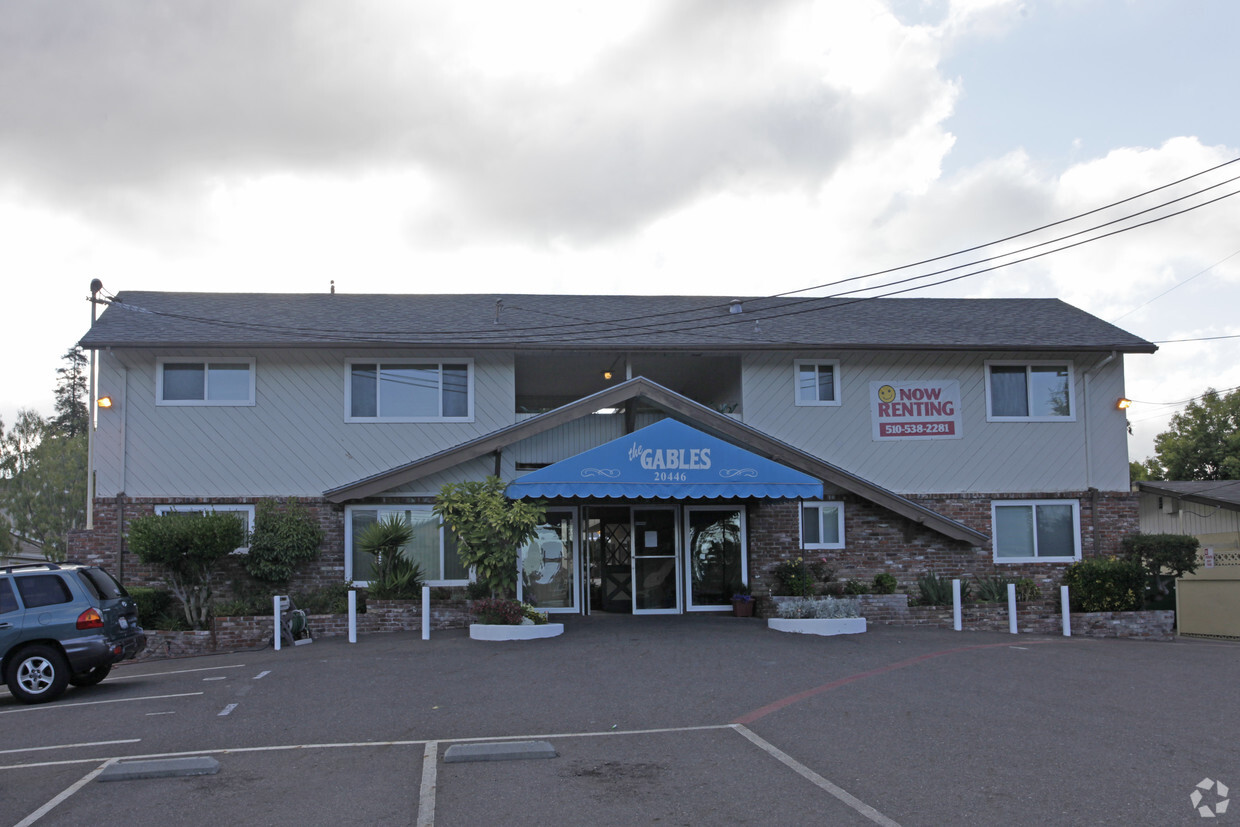

At The Gables in Castro Valley, you've discovered your new home. Situated in the 94546 Zip code of Castro Valley on Forest Ave, renters have easy connection to a number of enjoyable nearby points of interest. Make a visit to check out the current floorplan options. The team of leasing professionals is ready for you to visit. Drop by The Gables today.
The Gables is an apartment community located in Alameda County and the 94546 ZIP Code. This area is served by the Castro Valley Unified attendance zone.
Refrigerator
Oven
Range
Carpet
With Hayward Japanese Gardens at the south end of Castro Valley and Lake Chabot Regional Park on the north side, Castro Valley is bookended by natural beauty. Add the parks to the east -- Cull Canyon Regional Recreation Area and Don Castro Regional Recreation Area -- and you should pack your hiking (fishing, camping, boating, etc.) gear before moving to Castro Valley; you'll need it. Of course, with Castro Valley's hills, mountain views, and palm trees, you might be content to just sit on your apartment balcony and enjoy the bay breeze.
Located between San Leandro and Hayward, Castro Valley is across the bay from San Mateo, just about 24 miles southeast of San Francisco. Commuters can reach San Francisco via BART (the Bay Area Rapid Transit System) in less than 30 minutes. Because of its convenience and beautiful setting, Castro Valley is one of the region's most populated CDPs. Castro Valley Boulevard provides a variety of shops, restaurants, and other businesses.
Learn more about living in Castro Valley| Colleges & Universities | Distance | ||
|---|---|---|---|
| Colleges & Universities | Distance | ||
| Drive: | 11 min | 4.6 mi | |
| Drive: | 14 min | 6.2 mi | |
| Drive: | 19 min | 11.7 mi | |
| Drive: | 23 min | 14.7 mi |


Transportation options available in Castro Valley include Castro Valley Station, located 2.4 miles from The Gables. The Gables is near Metro Oakland International, located 10.9 miles or 16 minutes away, and San Francisco International, located 25.5 miles or 36 minutes away.
| Transit / Subway | Distance | ||
|---|---|---|---|
| Transit / Subway | Distance | ||
|
|
Drive: | 5 min | 2.4 mi |
|
|
Drive: | 6 min | 2.7 mi |
|
|
Drive: | 9 min | 4.8 mi |
|
|
Drive: | 14 min | 5.7 mi |
|
|
Drive: | 12 min | 8.2 mi |
| Commuter Rail | Distance | ||
|---|---|---|---|
| Commuter Rail | Distance | ||
|
|
Drive: | 8 min | 3.4 mi |
| Drive: | 8 min | 3.4 mi | |
| Drive: | 22 min | 12.5 mi | |
| Drive: | 22 min | 12.7 mi | |
| Drive: | 20 min | 14.2 mi |
| Airports | Distance | ||
|---|---|---|---|
| Airports | Distance | ||
|
Metro Oakland International
|
Drive: | 16 min | 10.9 mi |
|
San Francisco International
|
Drive: | 36 min | 25.5 mi |
Time and distance from The Gables.
| Shopping Centers | Distance | ||
|---|---|---|---|
| Shopping Centers | Distance | ||
| Walk: | 9 min | 0.5 mi | |
| Walk: | 10 min | 0.5 mi | |
| Walk: | 12 min | 0.6 mi |
| Parks and Recreation | Distance | ||
|---|---|---|---|
| Parks and Recreation | Distance | ||
|
Don Castro Regional Recreation Area
|
Drive: | 4 min | 1.5 mi |
|
Cull Canyon Regional Recreation Area
|
Drive: | 7 min | 2.0 mi |
|
Lake Chabot Regional Park
|
Drive: | 7 min | 3.1 mi |
|
Sulphur Creek Nature Center
|
Drive: | 8 min | 3.3 mi |
|
Anthony Chabot Regional Park
|
Drive: | 15 min | 6.0 mi |
| Hospitals | Distance | ||
|---|---|---|---|
| Hospitals | Distance | ||
| Drive: | 7 min | 4.2 mi | |
| Drive: | 12 min | 6.0 mi | |
| Drive: | 11 min | 7.3 mi |
| Military Bases | Distance | ||
|---|---|---|---|
| Military Bases | Distance | ||
| Drive: | 28 min | 18.4 mi |
What Are Walk Score®, Transit Score®, and Bike Score® Ratings?
Walk Score® measures the walkability of any address. Transit Score® measures access to public transit. Bike Score® measures the bikeability of any address.
What is a Sound Score Rating?
A Sound Score Rating aggregates noise caused by vehicle traffic, airplane traffic and local sources

20446 Forest Ave
Castro Valley, CA 94546


