
1213 Walnut
1213 Walnut St,
Philadelphia, PA 19107
$2,400 - $5,609
Studio - 2 Beds
Bedrooms
Studio bd
Bathrooms
1 ba
Square Feet
252 - 378 sq ft
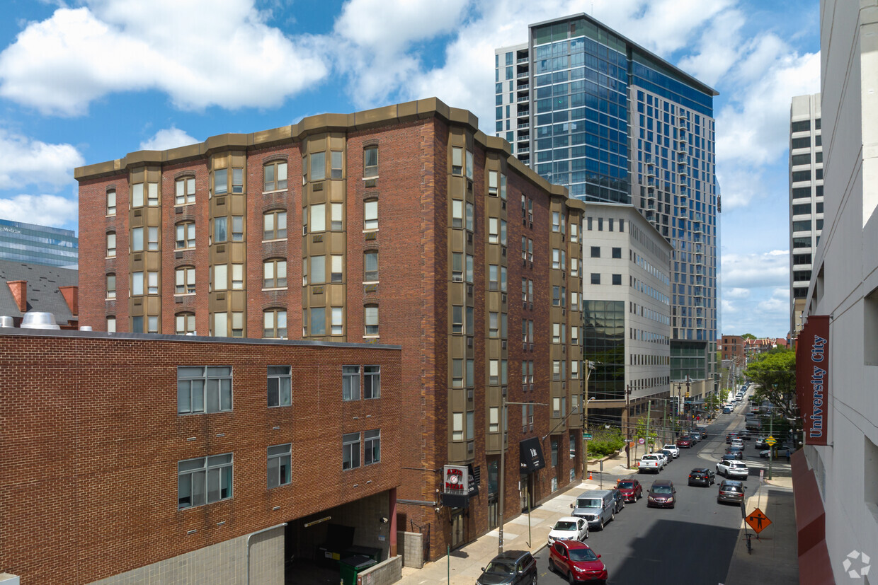
The Axis offers you an incredibly convenient location, flexible leasing terms and a vast array of amenities and services at reasonable prices. Seconds away from your classes at the University of Pennsylvania and Drexel University, you will find plenty of things to do in your free time - eateries, shopping and theaters. Or join the Resident Advisers and other students for game events, movie nights, cultural dances and other social opportunities.
The Axis offers you an incredibly convenient location, flexible leasing terms and a vast array of amenities and services at reasonable prices. Seconds away from your classes at the University of Pennsylvania and Drexel University, you will find plenty of things to do in your free time - eateries, shopping and theaters. Or join the Resident Advisers and other students for game events, movie nights, cultural dances and other social opportunities.
The Axis is an apartment community located in Philadelphia County and the 19104 ZIP Code. This area is served by the The School District of Philadelphia attendance zone.
Located just west of Center City, University City is named after the many universities that inhabit the neighborhood, including the University of Pennsylvania, Drexel University, and the University of the Sciences in Philadelphia. Naturally, the neighborhood is a top choice for many students, faculty, and staff seeking a rental close to campus.
There is a broad range of rental options in University City, featuring high-rise condos, upscale apartments, renovated lofts, and elegant townhomes in a walkable environment. The community enjoys access to an array of diverse restaurants, shops, bars, cafes, and markets clustered on Chestnut Street, Walnut Street, and Baltimore Avenue.
In addition to a walkable layout, University City boasts convenience to the SEPTA Market-Frankford Line and Trolley Lines 11, 13, and 36. The many vibrant offerings of Center City are just across the Schuylkill River as well.
Learn more about living in University CityCompare neighborhood and city base rent averages by bedroom.
| University City | Philadelphia, PA | |
|---|---|---|
| Studio | $2,889 | $1,405 |
| 1 Bedroom | $3,406 | $1,759 |
| 2 Bedrooms | $4,439 | $2,193 |
| 3 Bedrooms | - | $2,950 |
| Colleges & Universities | Distance | ||
|---|---|---|---|
| Colleges & Universities | Distance | ||
| Walk: | 5 min | 0.3 mi | |
| Walk: | 8 min | 0.5 mi | |
| Drive: | 3 min | 1.1 mi | |
| Drive: | 4 min | 1.4 mi |


Transportation options available in Philadelphia include 36Th Street, located 0.1 mile from The Axis. The Axis is near Philadelphia International, located 9.2 miles or 19 minutes away, and Trenton Mercer, located 35.3 miles or 52 minutes away.
| Transit / Subway | Distance | ||
|---|---|---|---|
| Transit / Subway | Distance | ||
|
|
Walk: | 1 min | 0.1 mi |
| Walk: | 1 min | 0.1 mi | |
|
|
Walk: | 4 min | 0.2 mi |
|
|
Walk: | 5 min | 0.3 mi |
| Walk: | 5 min | 0.3 mi |
| Commuter Rail | Distance | ||
|---|---|---|---|
| Commuter Rail | Distance | ||
| Walk: | 13 min | 0.7 mi | |
|
|
Walk: | 15 min | 0.8 mi |
|
|
Drive: | 5 min | 1.7 mi |
|
|
Drive: | 5 min | 2.1 mi |
|
|
Drive: | 6 min | 2.2 mi |
| Airports | Distance | ||
|---|---|---|---|
| Airports | Distance | ||
|
Philadelphia International
|
Drive: | 19 min | 9.2 mi |
|
Trenton Mercer
|
Drive: | 52 min | 35.3 mi |
Scores provided by
Traffic
BusyAirport
CalmBusinesses
BusyScores provided by
HowLoud What is a Sound Score Rating? A Sound Score Rating aggregates noise caused by vehicle traffic, airplane traffic and local sources. How It WorksTime and distance from The Axis.
| Shopping Centers | Distance | ||
|---|---|---|---|
| Shopping Centers | Distance | ||
| Walk: | 4 min | 0.2 mi | |
| Drive: | 4 min | 1.5 mi | |
| Drive: | 4 min | 1.7 mi |
| Parks and Recreation | Distance | ||
|---|---|---|---|
| Parks and Recreation | Distance | ||
|
University of Pennsylvania Observatory
|
Walk: | 8 min | 0.5 mi |
|
Penn Museum
|
Walk: | 11 min | 0.6 mi |
|
Schuylkill River Park
|
Drive: | 4 min | 1.3 mi |
|
Franklin Institute
|
Drive: | 4 min | 1.5 mi |
|
Philadelphia Zoo
|
Drive: | 5 min | 1.7 mi |
| Hospitals | Distance | ||
|---|---|---|---|
| Hospitals | Distance | ||
| Walk: | 7 min | 0.4 mi | |
| Walk: | 10 min | 0.6 mi | |
| Drive: | 7 min | 2.2 mi |
| Military Bases | Distance | ||
|---|---|---|---|
| Military Bases | Distance | ||
| Drive: | 12 min | 6.0 mi |
What Are Walk Score®, Transit Score®, and Bike Score® Ratings?
Walk Score® measures the walkability of any address. Transit Score® measures access to public transit. Bike Score® measures the bikeability of any address.
What is a Sound Score Rating?
A Sound Score Rating aggregates noise caused by vehicle traffic, airplane traffic and local sources.

20 S 36th St
Philadelphia, PA 19104


