
Atlas at Canyon Trails
16390 W Van Buren St,
Goodyear, AZ 85338
$1,334 - $2,124
1-3 Beds

Bedrooms
1 - 2 bd
Bathrooms
1 - 2 ba
Square Feet
642 - 995 sq ft
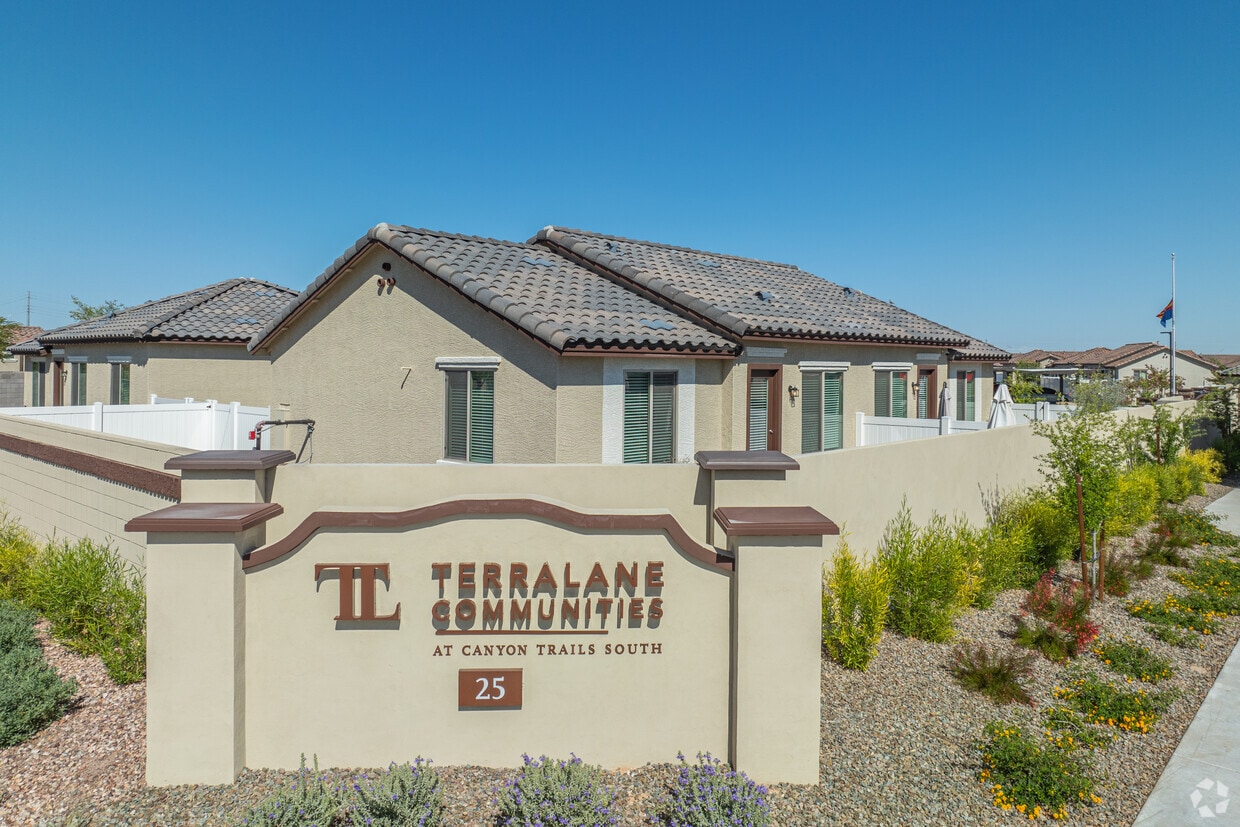
Thanks for visiting TerraLane Canyon Trails South in Goodyear, AZ. Located at 25 N 173rd Ave in Goodyear, this community is a terrific place to live. From amenities to floor plan options, the leasing staff is excited to help you find the best floor plan for your lifestyle. Contact us or stop by today.
Thanks for visiting TerraLane Canyon Trails South in Goodyear, AZ. Located at 25 N 173rd Ave in Goodyear, this community is a terrific place to live. From amenities to floor plan options, the leasing staff is excited to help you find the best floor plan for your lifestyle. Contact us or stop by today.
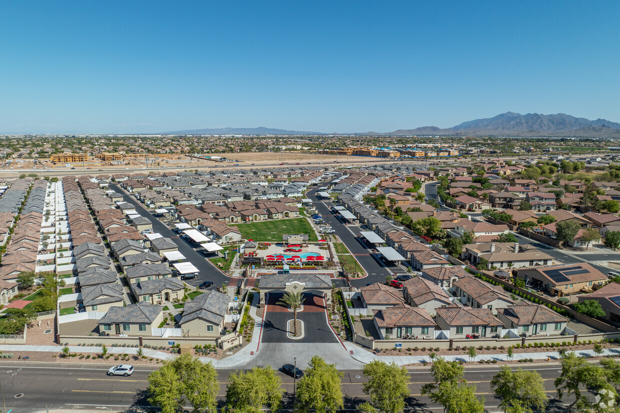
TerraLane Canyon Trails South is a single family homes community located in Maricopa County and the 85338 ZIP Code. This area is served by the Avondale Elementary District attendance zone.
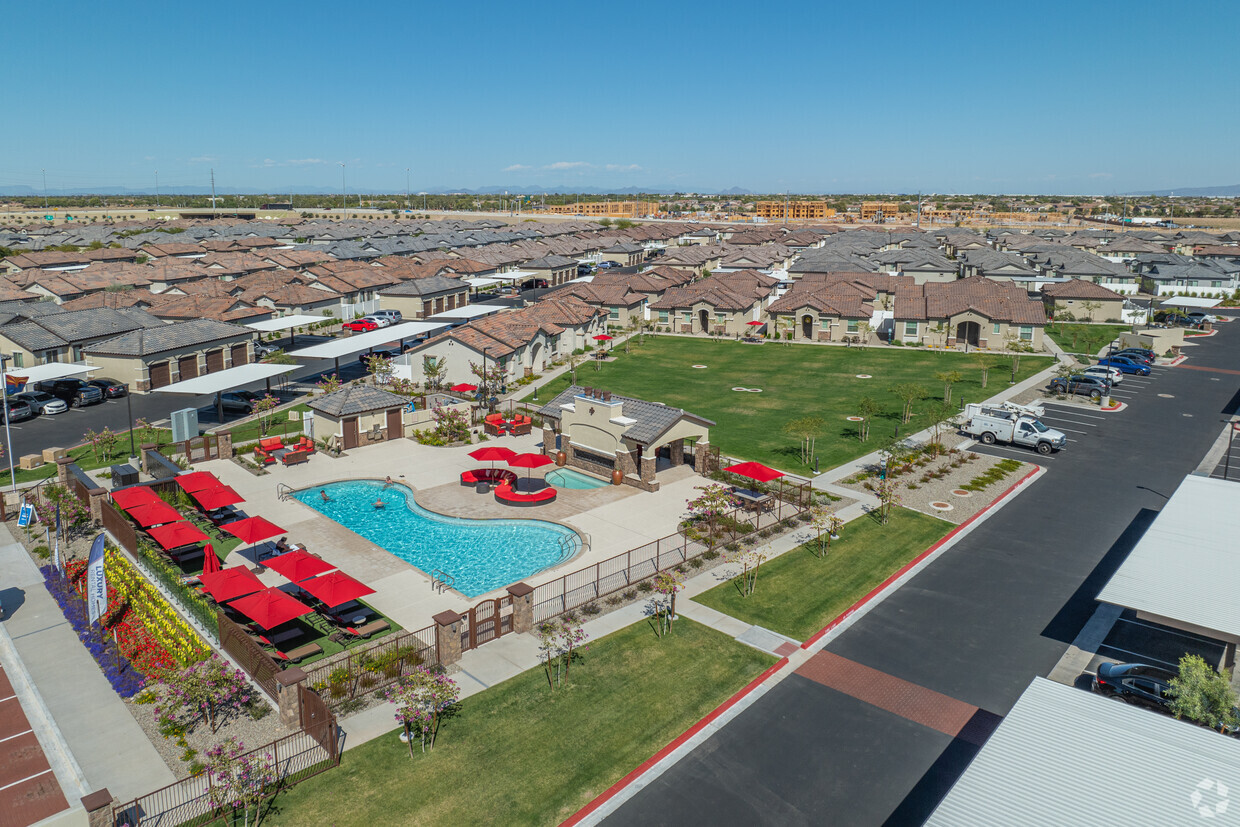
Pool
Fitness Center
Grill
Gated
Situated about 45 minutes west of Downtown Phoenix, West Valley provides residents with both a rural and suburban feel. Clusters of apartments and single-family homes are located within minutes of vast open fields, farms, and dairies in West Valley.
Residents enjoy a laidback atmosphere in West Valley, along with rugged mountain vistas. Recreational opportunities abound at Sundance Park, Skyline Regional Park, Estrella Mountain Regional Park, and the Gila River. While West Valley offers a slower paced lifestyle, it’s also just a short drive from attractions like ISM Raceway as well as the Wildlife World Zoo, Aquarium, and Safari Park. Getting around from West Valley is easy with access to I-10 and Route 85.
Learn more about living in West ValleyCompare neighborhood and city base rent averages by bedroom.
| West Valley | Goodyear, AZ | |
|---|---|---|
| Studio | $721 | - |
| 1 Bedroom | $1,348 | - |
| 2 Bedrooms | $1,684 | $2,764 |
| 3 Bedrooms | $2,020 | $2,458 |
| Colleges & Universities | Distance | ||
|---|---|---|---|
| Colleges & Universities | Distance | ||
| Drive: | 13 min | 8.4 mi | |
| Drive: | 32 min | 22.4 mi | |
| Drive: | 32 min | 22.4 mi | |
| Drive: | 37 min | 26.0 mi |

Scores provided by
Traffic
-Airport
-Businesses
-Scores provided by
HowLoud What is a Sound Score Rating? A Sound Score Rating aggregates noise caused by vehicle traffic, airplane traffic and local sources. How It WorksPets Allowed Fitness Center Dishwasher In Unit Washer & Dryer High-Speed Internet Stainless Steel Appliances Controlled Access
Pets Allowed Dishwasher In Unit Washer & Dryer Stainless Steel Appliances Controlled Access Granite Countertops Hardwood Floors

What Are Walk Score®, Transit Score®, and Bike Score® Ratings?
Walk Score® measures the walkability of any address. Transit Score® measures access to public transit. Bike Score® measures the bikeability of any address.
What is a Sound Score Rating?
A Sound Score Rating aggregates noise caused by vehicle traffic, airplane traffic and local sources.
25 N 173RD Ave
Goodyear, AZ 85338


