
Woodcreek Apartments
40914 Ingersoll Ter,
Fremont, CA 94538
$2,900 - $3,250
2 Beds

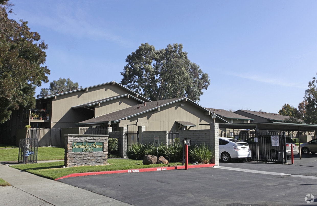
Find your new home at Sundale Arms. The 94538 location has much to offer its residents. Make a visit to view the available floorplans. The professional leasing staff is waiting to show you all that this community has to offer. Come see Sundale Arms today.
Sundale Arms is an apartment community located in Alameda County and the 94538 ZIP Code. This area is served by the Fremont Unified School District attendance zone.
Playground
Controlled Access
Business Center
Gated
Dishwasher
High Speed Internet Access
Walk-In Closets
Disposal
Sundale is a family-friendly neighborhood in central Fremont. Sundale is safe and has several good schools and childcare centers located in the neighborhood. Sundale offers mid-range to upscale housing options for every style, from cozy, single-family homes to modern apartments. Sundale is best known for housing the Fremont Hub, a sprawling al-fresco commercial center with eclectic restaurants, popular retailers, specialty shops, and big-box department stores. To enjoy the excellent weather California is known for, Sundale residents can walk over to Central Park, a sprawling lakeside green space. Renters also flock to Sundale because the community neighbors Downtown Fremont, which is known for its dynamic dining and multicultural scenes. Residents enjoy Sundale’s central location that allows for easy travel to other Bay Area cities, also attracting renters who work for tech companies in this Silicon Valley neighborhood.
Learn more about living in SundaleCompare neighborhood and city base rent averages by bedroom.
| Sundale | Fremont, CA | |
|---|---|---|
| Studio | $1,911 | $2,176 |
| 1 Bedroom | $2,270 | $2,517 |
| 2 Bedrooms | $2,789 | $3,186 |
| 3 Bedrooms | $3,303 | $3,903 |
| Colleges & Universities | Distance | ||
|---|---|---|---|
| Colleges & Universities | Distance | ||
| Drive: | 7 min | 3.1 mi | |
| Drive: | 10 min | 4.6 mi | |
| Drive: | 19 min | 12.9 mi | |
| Drive: | 21 min | 14.1 mi |


Transportation options available in Fremont include Fremont, located 1.4 miles from Sundale Arms. Sundale Arms is near Norman Y Mineta San Jose International, located 16.9 miles or 23 minutes away, and Metro Oakland International, located 22.0 miles or 30 minutes away.
| Transit / Subway | Distance | ||
|---|---|---|---|
| Transit / Subway | Distance | ||
|
|
Drive: | 4 min | 1.4 mi |
|
|
Drive: | 9 min | 4.4 mi |
|
|
Drive: | 12 min | 5.7 mi |
|
|
Drive: | 18 min | 12.0 mi |
| Drive: | 23 min | 16.2 mi |
| Commuter Rail | Distance | ||
|---|---|---|---|
| Commuter Rail | Distance | ||
| Drive: | 4 min | 2.0 mi | |
| Drive: | 5 min | 2.1 mi | |
| Drive: | 20 min | 13.8 mi | |
| Drive: | 20 min | 14.5 mi | |
| Drive: | 21 min | 14.8 mi |
| Airports | Distance | ||
|---|---|---|---|
| Airports | Distance | ||
|
Norman Y Mineta San Jose International
|
Drive: | 23 min | 16.9 mi |
|
Metro Oakland International
|
Drive: | 30 min | 22.0 mi |
Scores provided by
Traffic
ActiveAirport
CalmBusinesses
ActiveScores provided by
HowLoud What is a Sound Score Rating? A Sound Score Rating aggregates noise caused by vehicle traffic, airplane traffic and local sources. How It WorksTime and distance from Sundale Arms.
| Shopping Centers | Distance | ||
|---|---|---|---|
| Shopping Centers | Distance | ||
| Walk: | 2 min | 0.1 mi | |
| Walk: | 11 min | 0.6 mi | |
| Walk: | 14 min | 0.7 mi |
| Parks and Recreation | Distance | ||
|---|---|---|---|
| Parks and Recreation | Distance | ||
|
Central Park (Lake Elizabeth)
|
Drive: | 5 min | 2.0 mi |
|
Quarry Lakes Regional Recreation Area
|
Drive: | 7 min | 3.6 mi |
|
Niles Canyon Railway
|
Drive: | 8 min | 3.8 mi |
|
Alameda Creek Regional Trail
|
Drive: | 8 min | 3.9 mi |
|
Niles Community Park
|
Drive: | 10 min | 4.3 mi |
| Hospitals | Distance | ||
|---|---|---|---|
| Hospitals | Distance | ||
| Walk: | 17 min | 0.9 mi | |
| Drive: | 4 min | 1.6 mi | |
| Drive: | 16 min | 11.0 mi |
| Military Bases | Distance | ||
|---|---|---|---|
| Military Bases | Distance | ||
| Drive: | 29 min | 19.7 mi |
What Are Walk Score®, Transit Score®, and Bike Score® Ratings?
Walk Score® measures the walkability of any address. Transit Score® measures access to public transit. Bike Score® measures the bikeability of any address.
What is a Sound Score Rating?
A Sound Score Rating aggregates noise caused by vehicle traffic, airplane traffic and local sources.
39150 Sundale Dr
Fremont, CA 94538


