Sterling Heights

2195 E 14 Mile Rd, Sterling Heights, MI 48310

Share Listing
Favorites
Sterling Heights
Share Listing
Favorites

Highlights

  • Hearing Impaired Accessible
  • Vision Impaired Accessible
  • Pool
  • Walk-In Closets
  • Sundeck
  • Property Manager on Site

About Sterling Heights

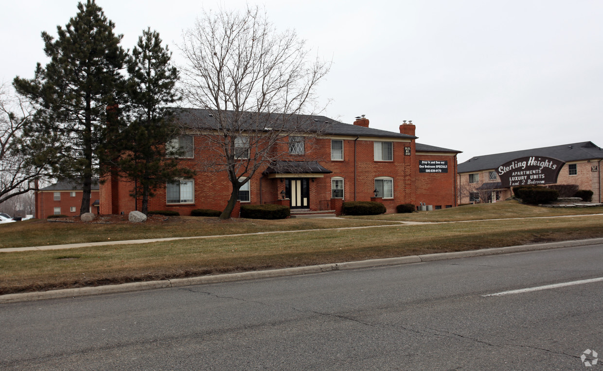
Discover your new home at Sterling Heights in Sterling Heights, MI. Located at 2195 E. 14 Mile Rd. in Sterling Heights, this community is convenient to everything. From amenities to floor plan options, the leasing team is ready to help you find your perfect home. Sterling Heights provides a large selection of amenities and features including: high-speed internet access, smoke-free options, and convenient on-site parking options. Contact us or stop by today.

Sterling Heights is an apartment community located in Macomb County and the 48310 ZIP Code. This area is served by the Warren Consolidated Schools attendance zone.

Community Amenities

Pool

Laundry Facilities

24 Hour Access

Property Manager on Site

  • Laundry Facilities
  • Maintenance on site
  • Property Manager on Site
  • 24 Hour Access
  • Hearing Impaired Accessible
  • Vision Impaired Accessible
  • Renters Insurance Program
  • Online Services
  • Pool
  • Sundeck

Apartment Features

Air Conditioning

High Speed Internet Access

Walk-In Closets

Refrigerator

  • High Speed Internet Access
  • Air Conditioning
  • Heating
  • Smoke Free
  • Tub/Shower
  • Disposal
  • Kitchen
  • Oven
  • Range
  • Refrigerator
  • Walk-In Closets
Location
2195 E 14 Mile Rd, Sterling Heights,
MI 48310
Get Directions
City - Sterling Heights

Welcome to Sterling Heights, located 18 miles north of Detroit. This well-established suburban community offers various housing options, with current rental rates averaging $1,089 for one-bedroom units and $1,375 for two-bedroom homes. The Clinton River flows through the northeastern section of the city, offering walking trails and outdoor recreation areas. Residents enjoy convenient access to Lakeside Mall, numerous parks, and the Richard J. Notte Sterling Heights City Center.

Sterling Heights has grown from its agricultural heritage into Michigan's fourth most populous city. The community celebrates its cultural heritage through local festivals and events throughout the year. The city consistently maintains one of the metropolitan Detroit area's strongest safety records. Notable areas include the neighborhoods near Dodge Park Road, the established residential sections along Metropolitan Parkway, and the area surrounding Henry Ford II High School.

Learn more about living in Sterling Heights 
Education
Colleges & Universities Distance
Drive: 13 min 7.1 mi
Drive: 13 min 8.0 mi
Drive: 17 min 8.8 mi
Drive: 20 min 12.3 mi
Sterling Heights is within 13 minutes or 7.1 miles from Walsh College of Business. It is also near Oakland C.C., Royal Oak Campus and Macomb Community College.
Schools
Public Elementary School
Grades PK-5
378 Students
Attendance Zone
Public Elementary & Middle School
Grades PK-8
Nearby
Public Middle School
Grades 6-8
Attendance Zone
Public High School
Grades 9-12
Attendance Zone
Private Elementary, Middle & High School
Grades K-12
Nearby
Private Elementary School
Grades PK-5
Nearby
Private Elementary & Middle School
Grades K-8
Nearby
Private High School
Grades 9-12
Nearby
Transportation

Sterling Heights is near Detroit Metro Wayne County, located 36.1 miles or 50 minutes away.

Commuter Rail Distance
Drive: 14 min 6.2 mi
Drive: 13 min 6.6 mi
Drive: 20 min 14.6 mi
Drive: 24 min 16.7 mi
Airports Distance
Airports Distance
Detroit Metro Wayne County
Drive: 50 min 36.1 mi

Walkability Near Sterling Heights

Getting Around
Moderately Walkable
Walkability
60 / 100
Limited Public Transit
Transit
30 / 100
Exceptionally Drivable
Drivability
100 / 100
Fairly Bikeable
Bikeability
50 / 100

Scores provided by

What do Walkability, Transit, Drivability, and Bikeability mean? Walkability measures the walking distance to day-to-day needs. Transit measures access to public transportation. Drivability measures congestion, parking availability, and access to major roads. Bikeability measures the suitability for cycling. How It Works
Active
Soundscore
74 / 100

Traffic

Active

Airport

Calm

Businesses

Active

Scores provided by

HowLoud What is a Sound Score Rating? A Sound Score Rating aggregates noise caused by vehicle traffic, airplane traffic and local sources. How It Works
Points of Interest

Time and distance from Sterling Heights.

Shopping Centers Distance
Walk: 5 min 0.3 mi
Walk: 7 min 0.4 mi
Walk: 7 min 0.4 mi
Sterling Heights has 3 shopping centers within 0.4 mile, which is about a 7-minute walk. The miles and minutes will be for the farthest away property.
Parks and Recreation Distance
Red Oaks Nature Center and County Park
Drive: 4 min 2.0 mi
Troy Historic Village
Drive: 12 min 7.2 mi
Belle Isle Nature Zoo
Drive: 12 min 7.7 mi
Detroit Zoo
Drive: 13 min 8.2 mi
Sterling Heights Nature Center
Drive: 15 min 8.4 mi
Sterling Heights has 5 parks within 8.4 miles, including Red Oaks Nature Center and County Park, Troy Historic Village, and Belle Isle Nature Zoo.
Hospitals Distance
Hospitals Distance
Drive: 6 min 3.0 mi
Drive: 12 min 6.1 mi
Drive: 12 min 6.4 mi
Sterling Heights has 3 hospitals within 6.4 miles, the nearest is The Behavioral Center of Michigan which is 3.0 miles away and a 6 minute drive.

Explore Similar Rentals Nearby