
Vanguard
1001 Marshall Ave,
Cincinnati, OH 45219
$683 - $1,419
Studio - 5 Beds
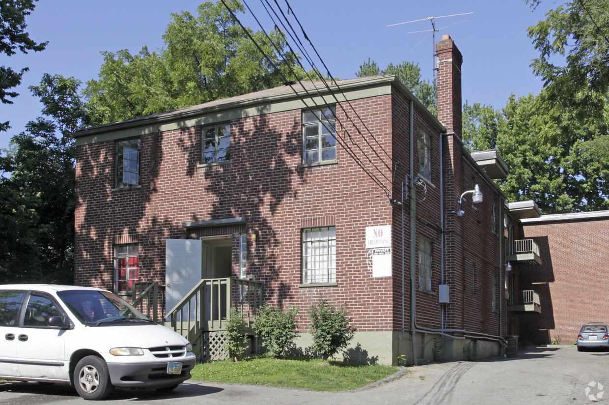

Meet your new home at St. James Apartments in Cincinnati. This community can be found in the 45206 area of Cincinnati. The leasing team is waiting to show you all that this community has to offer. Come for a visit to view the available floorplans. Stop by the leasing office to find out the current floorplan availability.
St. James Apartments is an apartment community located in Hamilton County and the 45206 ZIP Code. This area is served by the Cincinnati Public Schools attendance zone.
Air Conditioning
High Speed Internet Access
Refrigerator
Smoke Free
The Cincinnati neighborhood of Mount Auburn sits north of downtown and west of Interstate 71. The neighborhood, originally a hilltop escape from the crowded conditions of lower Downtown Cincinnati, gained national recognition as a historic district in 1973. The well-known community contains beautiful mansions dating back to 1819, including the home of former President William Howard Taft.
The community contains beautiful mansions formerly owned by a host of prominent residents. A number of historic buildings and sites dot the area, including the Mount Auburn Young Ladies Institute. The neighborhood also features the beloved ice cream parlor Graeter's Confectionary, as well as Christ Hospital.
Learn more about living in Mount Auburn| Colleges & Universities | Distance | ||
|---|---|---|---|
| Colleges & Universities | Distance | ||
| Drive: | 6 min | 2.0 mi | |
| Drive: | 6 min | 2.2 mi | |
| Drive: | 8 min | 2.7 mi | |
| Drive: | 14 min | 4.8 mi |


Transportation options available in Cincinnati include Hanke Exchange Station, 12Th & Main, located 1.8 miles from St. James Apartments. St. James Apartments is near Cincinnati/Northern Kentucky International, located 16.5 miles or 31 minutes away.
| Transit / Subway | Distance | ||
|---|---|---|---|
| Transit / Subway | Distance | ||
| Drive: | 5 min | 1.8 mi | |
| Drive: | 5 min | 2.0 mi | |
| Drive: | 6 min | 2.1 mi | |
| Drive: | 7 min | 2.5 mi | |
| Drive: | 7 min | 2.5 mi |
| Commuter Rail | Distance | ||
|---|---|---|---|
| Commuter Rail | Distance | ||
|
|
Drive: | 10 min | 4.4 mi |
| Airports | Distance | ||
|---|---|---|---|
| Airports | Distance | ||
|
Cincinnati/Northern Kentucky International
|
Drive: | 31 min | 16.5 mi |
Time and distance from St. James Apartments.
| Shopping Centers | Distance | ||
|---|---|---|---|
| Shopping Centers | Distance | ||
| Drive: | 7 min | 2.4 mi | |
| Drive: | 8 min | 2.7 mi | |
| Drive: | 7 min | 3.3 mi |
| Parks and Recreation | Distance | ||
|---|---|---|---|
| Parks and Recreation | Distance | ||
|
Eden Park
|
Walk: | 9 min | 0.5 mi |
|
Krohn Conservatory
|
Walk: | 11 min | 0.6 mi |
|
William H. Taft National Historic Site
|
Drive: | 4 min | 1.5 mi |
|
Theodore M. Berry Friendship Park
|
Drive: | 5 min | 1.7 mi |
|
Cincinnati Zoo and Botanical Garden
|
Drive: | 7 min | 2.5 mi |
| Hospitals | Distance | ||
|---|---|---|---|
| Hospitals | Distance | ||
| Drive: | 5 min | 1.6 mi | |
| Drive: | 5 min | 1.7 mi | |
| Drive: | 5 min | 1.8 mi |
| Military Bases | Distance | ||
|---|---|---|---|
| Military Bases | Distance | ||
| Drive: | 72 min | 52.4 mi | |
| Drive: | 78 min | 57.5 mi | |
| Drive: | 81 min | 60.7 mi |
What Are Walk Score®, Transit Score®, and Bike Score® Ratings?
Walk Score® measures the walkability of any address. Transit Score® measures access to public transit. Bike Score® measures the bikeability of any address.
What is a Sound Score Rating?
A Sound Score Rating aggregates noise caused by vehicle traffic, airplane traffic and local sources

2315 St James Ave
Cincinnati, OH 45206


