
The Q Playa
5901-5921 Center Dr,
Los Angeles, CA 90045
$3,022 - $5,948
Studio - 2 Beds

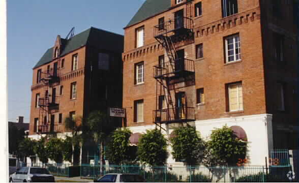


St. Andrews Apartments is an apartment community located in Los Angeles County and the 90038 ZIP Code. This area is served by the Los Angeles Unified attendance zone.
Air Conditioning
Disposal
Heating
Oven
Although smaller than its better-known neighbor to the west, East Hollywood is a centrally located neighborhood in Los Angeles. East Hollywood is accessible to various freeways and many other popular neighborhoods, so commuters are set. This neighborhood boasts lower rent costs than its neighbors, a diverse community, and unique restaurants. Los Angeles City College, Barnsdall Art Park, and three large hospitals are all located in the East Hollywood area. This community sits just two miles from Downtown Los Angeles, making it popular for those interested in staying close to the city. With a dense population and a hip vibe, East Hollywood is the place to be.
Learn more about living in East Hollywood| Colleges & Universities | Distance | ||
|---|---|---|---|
| Colleges & Universities | Distance | ||
| Drive: | 3 min | 1.4 mi | |
| Drive: | 4 min | 2.1 mi | |
| Drive: | 5 min | 2.7 mi | |
| Drive: | 6 min | 2.9 mi |


Transportation options available in Los Angeles include Hollywood/Western Station, located 1.5 miles from St. Andrews Apartments. St. Andrews Apartments is near Bob Hope, located 10.6 miles or 18 minutes away, and Los Angeles International, located 13.4 miles or 25 minutes away.
| Transit / Subway | Distance | ||
|---|---|---|---|
| Transit / Subway | Distance | ||
|
|
Drive: | 2 min | 1.5 mi |
|
|
Drive: | 3 min | 1.5 mi |
|
|
Drive: | 3 min | 1.6 mi |
|
|
Drive: | 4 min | 2.2 mi |
|
|
Drive: | 4 min | 2.2 mi |
| Commuter Rail | Distance | ||
|---|---|---|---|
| Commuter Rail | Distance | ||
|
|
Drive: | 9 min | 5.1 mi |
|
|
Drive: | 11 min | 5.2 mi |
|
|
Drive: | 10 min | 5.7 mi |
|
|
Drive: | 15 min | 9.4 mi |
|
|
Drive: | 17 min | 9.5 mi |
| Airports | Distance | ||
|---|---|---|---|
| Airports | Distance | ||
|
Bob Hope
|
Drive: | 18 min | 10.6 mi |
|
Los Angeles International
|
Drive: | 25 min | 13.4 mi |
Time and distance from St. Andrews Apartments.
| Shopping Centers | Distance | ||
|---|---|---|---|
| Shopping Centers | Distance | ||
| Walk: | 4 min | 0.2 mi | |
| Walk: | 6 min | 0.3 mi | |
| Walk: | 7 min | 0.4 mi |
| Parks and Recreation | Distance | ||
|---|---|---|---|
| Parks and Recreation | Distance | ||
|
MacArthur Park Lake
|
Drive: | 7 min | 3.3 mi |
|
Bird Sanctuary
|
Drive: | 8 min | 3.6 mi |
|
Runyon Canyon
|
Drive: | 8 min | 3.7 mi |
|
La Brea Tar Pits
|
Drive: | 8 min | 4.1 mi |
|
Griffith Observatory
|
Drive: | 12 min | 4.8 mi |
| Hospitals | Distance | ||
|---|---|---|---|
| Hospitals | Distance | ||
| Drive: | 4 min | 2.0 mi | |
| Drive: | 4 min | 2.0 mi | |
| Drive: | 4 min | 2.1 mi |
| Military Bases | Distance | ||
|---|---|---|---|
| Military Bases | Distance | ||
| Drive: | 25 min | 15.0 mi |
What Are Walk Score®, Transit Score®, and Bike Score® Ratings?
Walk Score® measures the walkability of any address. Transit Score® measures access to public transit. Bike Score® measures the bikeability of any address.
What is a Sound Score Rating?
A Sound Score Rating aggregates noise caused by vehicle traffic, airplane traffic and local sources
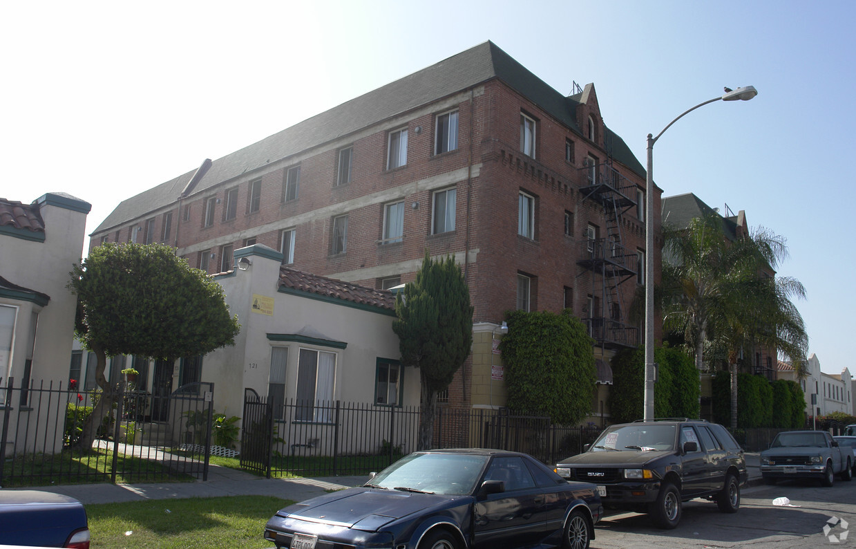
731 N St Andrews Pl
Los Angeles, CA 90038


 - Violet on Virgil")


 - AVA Burbank")