
Presidential Towers
555 W Madison St,
Chicago, IL 60661
$1,661 - $6,688
Studio - 2 Beds

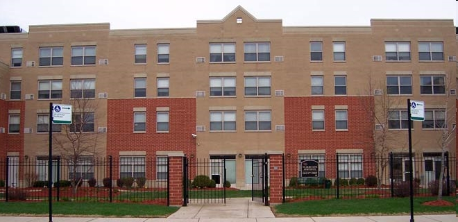
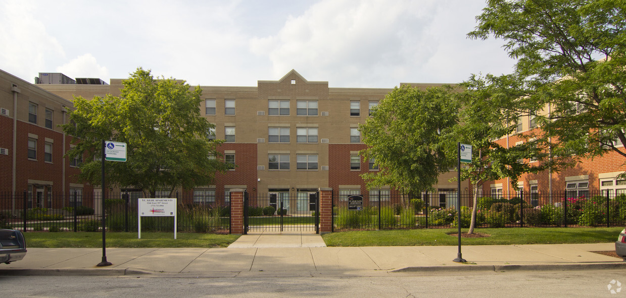
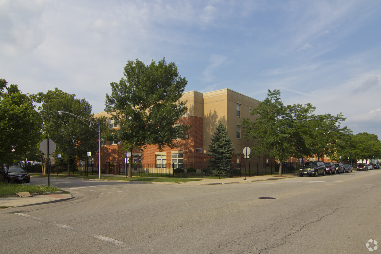

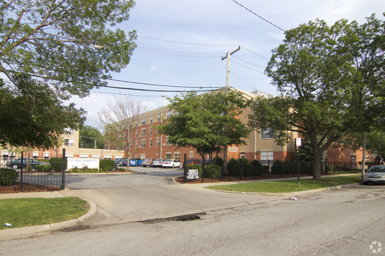
St. Ailbe Faith Apartments in Chicago is ready to be your home. This community can be found on E. 93rd St. in Chicago. Here at this community, the professional leasing staff is ready to help you find your new apartment. Make a visit to check out the current floorplan options. Come see St. Ailbe Faith Apartments today.
St. Ailbe Faith Apartments is an apartment community located in Cook County and the 60619 ZIP Code. This area is served by the Chicago Public Schools attendance zone.
Fitness Center
Laundry Facilities
Clubhouse
Planned Social Activities
In Cook County, Illinois, travel 11 miles south of the Chicago Loop to find Burnside, a neighborhood named for a Civil War general and Illinois Central Railroad treasurer. One of the Windy City's smallest neighborhoods, it features Burnside Playlot Park, where locals gather to play baseball and basketball and enjoy the well-equipped soft-surface playground.
A variety of apartments for rent dot the cozy residential Burnside landscape, rich with history from the late 1800s. Residents of this South Side Chicago neighborhood savor the fish and chicken dishes at Popup Dropoff and make frequent stops for takeout from Gianna's Pizza. South Cottage Grove Avenue, a major north-south thoroughfare, gives residents a choice between public transportation and private vehicles to attend classes, concerts, and athletic events at nearby Chicago State University.
Learn more about living in BurnsideCompare neighborhood and city base rent averages by bedroom.
| Burnside | Chicago, IL | |
|---|---|---|
| Studio | $689 | $1,654 |
| 1 Bedroom | $920 | $2,056 |
| 2 Bedrooms | $1,066 | $2,594 |
| 3 Bedrooms | - | $3,107 |
| Colleges & Universities | Distance | ||
|---|---|---|---|
| Colleges & Universities | Distance | ||
| Drive: | 7 min | 2.4 mi | |
| Drive: | 12 min | 5.5 mi | |
| Drive: | 15 min | 7.3 mi | |
| Drive: | 17 min | 9.4 mi |


Transportation options available in Chicago include 87Th Street Station, located 2.8 miles from St. Ailbe Faith Apartments. St. Ailbe Faith Apartments is near Chicago Midway International, located 13.6 miles or 23 minutes away, and Chicago O'Hare International, located 30.4 miles or 46 minutes away.
| Transit / Subway | Distance | ||
|---|---|---|---|
| Transit / Subway | Distance | ||
|
|
Drive: | 5 min | 2.8 mi |
|
|
Drive: | 7 min | 3.4 mi |
|
|
Drive: | 10 min | 4.5 mi |
|
|
Drive: | 9 min | 4.7 mi |
|
|
Drive: | 8 min | 5.1 mi |
| Commuter Rail | Distance | ||
|---|---|---|---|
| Commuter Rail | Distance | ||
|
|
Walk: | 13 min | 0.7 mi |
|
|
Walk: | 16 min | 0.8 mi |
|
|
Drive: | 5 min | 2.3 mi |
|
|
Drive: | 6 min | 2.4 mi |
| Drive: | 6 min | 2.8 mi |
| Airports | Distance | ||
|---|---|---|---|
| Airports | Distance | ||
|
Chicago Midway International
|
Drive: | 23 min | 13.6 mi |
|
Chicago O'Hare International
|
Drive: | 46 min | 30.4 mi |
Scores provided by
Traffic
ActiveAirport
CalmBusinesses
ActiveScores provided by
HowLoud What is a Sound Score Rating? A Sound Score Rating aggregates noise caused by vehicle traffic, airplane traffic and local sources. How It WorksTime and distance from St. Ailbe Faith Apartments.
| Shopping Centers | Distance | ||
|---|---|---|---|
| Shopping Centers | Distance | ||
| Walk: | 22 min | 1.2 mi | |
| Drive: | 3 min | 1.3 mi |
| Parks and Recreation | Distance | ||
|---|---|---|---|
| Parks and Recreation | Distance | ||
|
Bronzeville Children's Museum
|
Walk: | 13 min | 0.7 mi |
|
Avalon Park
|
Drive: | 6 min | 2.5 mi |
|
Bessemer Park
|
Drive: | 6 min | 3.1 mi |
|
Trumbull Park
|
Drive: | 7 min | 3.2 mi |
|
Arthur Ashe Beach Park
|
Drive: | 11 min | 5.8 mi |
| Hospitals | Distance | ||
|---|---|---|---|
| Hospitals | Distance | ||
| Drive: | 4 min | 2.0 mi | |
| Drive: | 6 min | 2.9 mi | |
| Drive: | 8 min | 3.5 mi |
| Military Bases | Distance | ||
|---|---|---|---|
| Military Bases | Distance | ||
| Drive: | 56 min | 37.2 mi | |
| Drive: | 54 min | 38.0 mi | |
| Drive: | 67 min | 42.2 mi |
What Are Walk Score®, Transit Score®, and Bike Score® Ratings?
Walk Score® measures the walkability of any address. Transit Score® measures access to public transit. Bike Score® measures the bikeability of any address.
What is a Sound Score Rating?
A Sound Score Rating aggregates noise caused by vehicle traffic, airplane traffic and local sources.
1244 E 93rd St
Chicago, IL 60619


