
Avondale Village
3465 Kensington Rd,
Decatur, GA 30032
$900 - $1,650
1-2 Beds
Bedrooms
2 bd
Bathrooms
1 ba
Square Feet
875 sq ft
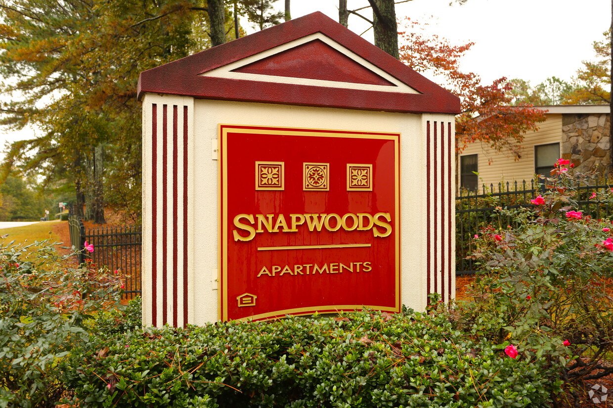
At Snapwoods Apartments, experience fine living. Located in Decatur's 30035 area, moving to this community gives you a variety of nearby points of interest. From availability to location, the community staff will assist you in finding the perfect fit. Make sure you to see the current floorplan options. Drop by the leasing office to ask about the current floorplan availability.
At Snapwoods Apartments, experience fine living. Located in Decatur's 30035 area, moving to this community gives you a variety of nearby points of interest. From availability to location, the community staff will assist you in finding the perfect fit. Make sure you to see the current floorplan options. Drop by the leasing office to ask about the current floorplan availability.
Snapwoods Apartments is an apartment community located in DeKalb County and the 30035 ZIP Code. This area is served by the Dekalb County School District attendance zone.
Dishwasher
Washer/Dryer Hookup
High Speed Internet Access
Refrigerator
Located just five miles northeast of downtown Atlanta, Decatur offers a blend of historic charm and contemporary living. The city's pedestrian-friendly downtown, anchored by the courthouse square, features independent shops and restaurants. Current rental trends show moderate stability in the market, with one-bedroom units averaging $1,367 and two-bedroom homes at $1,550, experiencing slight decreases of 2.32% and 1.42% respectively over the past year. Housing options range from historic homes in the MAK Historic District to apartment communities near the three MARTA rail stations, providing convenient access to downtown Atlanta.
The city is home to Agnes Scott College and Columbia Theological Seminary, adding to its educational landscape. Residents enjoy outdoor spaces like the 7-acre Woodlands Garden and the historic Decatur Cemetery, established in 1823. The Oakhurst and Winnona Park areas feature tree-lined streets and classic architecture.
Learn more about living in Decatur| Colleges & Universities | Distance | ||
|---|---|---|---|
| Colleges & Universities | Distance | ||
| Drive: | 12 min | 6.4 mi | |
| Drive: | 15 min | 7.6 mi | |
| Drive: | 15 min | 8.5 mi | |
| Drive: | 19 min | 10.7 mi |


Transportation options available in Decatur include Indian Creek, located 5.2 miles from Snapwoods Apartments. Snapwoods Apartments is near Hartsfield - Jackson Atlanta International, located 16.4 miles or 26 minutes away.
| Transit / Subway | Distance | ||
|---|---|---|---|
| Transit / Subway | Distance | ||
|
|
Drive: | 10 min | 5.2 mi |
|
|
Drive: | 11 min | 6.2 mi |
|
|
Drive: | 14 min | 7.8 mi |
|
|
Drive: | 15 min | 8.6 mi |
|
|
Drive: | 16 min | 9.5 mi |
| Commuter Rail | Distance | ||
|---|---|---|---|
| Commuter Rail | Distance | ||
|
|
Drive: | 24 min | 16.7 mi |
| Airports | Distance | ||
|---|---|---|---|
| Airports | Distance | ||
|
Hartsfield - Jackson Atlanta International
|
Drive: | 26 min | 16.4 mi |
Scores provided by
Traffic
-Airport
-Businesses
-Scores provided by
HowLoud What is a Sound Score Rating? A Sound Score Rating aggregates noise caused by vehicle traffic, airplane traffic and local sources. How It WorksTime and distance from Snapwoods Apartments.
| Shopping Centers | Distance | ||
|---|---|---|---|
| Shopping Centers | Distance | ||
| Walk: | 15 min | 0.8 mi | |
| Walk: | 16 min | 0.9 mi | |
| Walk: | 18 min | 1.0 mi |
| Parks and Recreation | Distance | ||
|---|---|---|---|
| Parks and Recreation | Distance | ||
|
Ferns of the World Garden
|
Drive: | 11 min | 6.2 mi |
|
Panola Mountain State Park
|
Drive: | 15 min | 7.5 mi |
|
Wylde Center and Oakhurst Community Garden
|
Drive: | 15 min | 8.2 mi |
|
Bradley Observatory
|
Drive: | 14 min | 8.5 mi |
|
Arabia Mountain Heritage Area and Nature Center
|
Drive: | 16 min | 9.3 mi |
| Hospitals | Distance | ||
|---|---|---|---|
| Hospitals | Distance | ||
| Drive: | 8 min | 3.6 mi | |
| Drive: | 10 min | 5.8 mi | |
| Drive: | 16 min | 9.3 mi |
| Military Bases | Distance | ||
|---|---|---|---|
| Military Bases | Distance | ||
| Drive: | 23 min | 14.1 mi | |
| Drive: | 25 min | 17.1 mi | |
| Drive: | 46 min | 30.3 mi |
What Are Walk Score®, Transit Score®, and Bike Score® Ratings?
Walk Score® measures the walkability of any address. Transit Score® measures access to public transit. Bike Score® measures the bikeability of any address.
What is a Sound Score Rating?
A Sound Score Rating aggregates noise caused by vehicle traffic, airplane traffic and local sources.

4521 Snapfinger Woods Dr
Decatur, GA 30035


