
Venue Residences
3688 Overland Ave,
Los Angeles, CA 90034
$2,625 - $6,295
Studio - 2 Beds

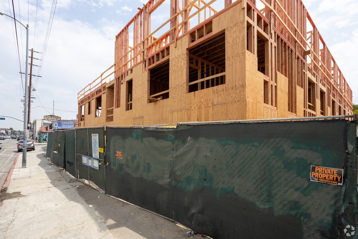
Discover your new apartment at Skyline Flats in Los Angeles, CA. This community is located at 4604-4612 S Western Ave in the South Central LA area of Los Angeles. The leasing staff is ready to show you our community. It's time to find your new home. Contact or stop by the Skyline Flats leasing office to see available floor plans.
Skyline Flats is an apartment community located in Los Angeles County and the 90062 ZIP Code. This area is served by the Los Angeles Unified Rocp School District attendance zone.
Air Conditioning
Dishwasher
Microwave
Refrigerator
Historic South-Central Los Angeles is a storied neighborhood in the South Los Angeles region. South LA is home to the University of Southern California, a top-ranking university founded in 1880, a close-knit community, and a rich past.
Renting an apartment in South Central LA places you in an active neighborhood near many LA hotspots. This neighborhood had one of America's first jazz scenes (often nicknamed the West Coast Harlem) and was home to Kid Ory, a famous trombonist, and bandleader. Today, South Central LA offers residents terrific proximity to downtown, USC, and a variety of historic sites in addition to numerous freeways.
Learn more about living in South Central LACompare neighborhood and city base rent averages by bedroom.
| South Central LA | Los Angeles, CA | |
|---|---|---|
| Studio | $1,033 | $1,713 |
| 1 Bedroom | $1,181 | $2,187 |
| 2 Bedrooms | $1,774 | $3,020 |
| 3 Bedrooms | $2,935 | $4,347 |
| Colleges & Universities | Distance | ||
|---|---|---|---|
| Colleges & Universities | Distance | ||
| Drive: | 6 min | 3.1 mi | |
| Drive: | 7 min | 3.9 mi | |
| Drive: | 7 min | 3.9 mi | |
| Drive: | 9 min | 5.6 mi |


Transportation options available in Los Angeles include Expo/Western, located 1.2 miles from Skyline Flats. Skyline Flats is near Los Angeles International, located 8.9 miles or 16 minutes away, and Bob Hope, located 16.1 miles or 28 minutes away.
| Transit / Subway | Distance | ||
|---|---|---|---|
| Transit / Subway | Distance | ||
|
|
Drive: | 2 min | 1.2 mi |
| Drive: | 3 min | 1.5 mi | |
| Drive: | 4 min | 2.0 mi | |
|
|
Drive: | 3 min | 2.2 mi |
| Drive: | 4 min | 2.3 mi |
| Commuter Rail | Distance | ||
|---|---|---|---|
| Commuter Rail | Distance | ||
|
|
Drive: | 14 min | 6.8 mi |
|
|
Drive: | 12 min | 7.4 mi |
|
|
Drive: | 20 min | 11.4 mi |
| Drive: | 16 min | 11.4 mi | |
|
|
Drive: | 19 min | 12.0 mi |
| Airports | Distance | ||
|---|---|---|---|
| Airports | Distance | ||
|
Los Angeles International
|
Drive: | 16 min | 8.9 mi |
|
Bob Hope
|
Drive: | 28 min | 16.1 mi |
Scores provided by
Traffic
BusyAirport
CalmBusinesses
BusyScores provided by
HowLoud What is a Sound Score Rating? A Sound Score Rating aggregates noise caused by vehicle traffic, airplane traffic and local sources. How It WorksTime and distance from Skyline Flats.
| Shopping Centers | Distance | ||
|---|---|---|---|
| Shopping Centers | Distance | ||
| Walk: | 3 min | 0.2 mi | |
| Walk: | 12 min | 0.6 mi | |
| Walk: | 12 min | 0.7 mi |
| Parks and Recreation | Distance | ||
|---|---|---|---|
| Parks and Recreation | Distance | ||
|
Natural History Museum of LA County
|
Drive: | 4 min | 2.3 mi |
|
Exposition Park Rose Garden
|
Drive: | 4 min | 2.5 mi |
|
California Science Center
|
Drive: | 5 min | 2.6 mi |
|
Augustus Hawkins Natural Park
|
Drive: | 7 min | 4.5 mi |
|
Kenneth Hahn State Recreation Area
|
Drive: | 11 min | 4.8 mi |
| Hospitals | Distance | ||
|---|---|---|---|
| Hospitals | Distance | ||
| Drive: | 8 min | 4.4 mi | |
| Drive: | 10 min | 5.8 mi | |
| Drive: | 10 min | 5.9 mi |
| Military Bases | Distance | ||
|---|---|---|---|
| Military Bases | Distance | ||
| Drive: | 16 min | 10.4 mi | |
| Drive: | 30 min | 22.2 mi | |
| Drive: | 33 min | 24.4 mi |
4604-4612 S Western Ave
Los Angeles, CA 90062


