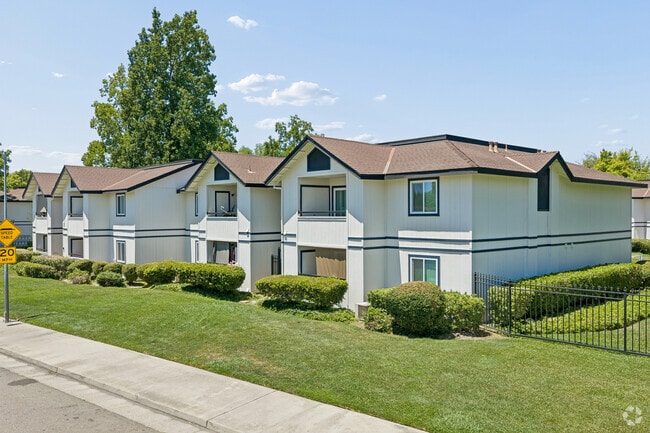
Sunset Ridge Apartments
3825 Little Rock Dr,
Antelope, CA 95843
$1,550 - $2,500
1-3 Beds
Bedrooms
1 bd
Bathrooms
1 ba
Square Feet
687 sq ft

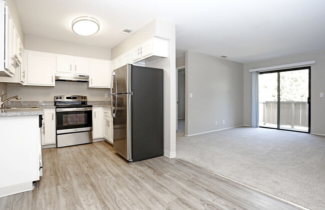
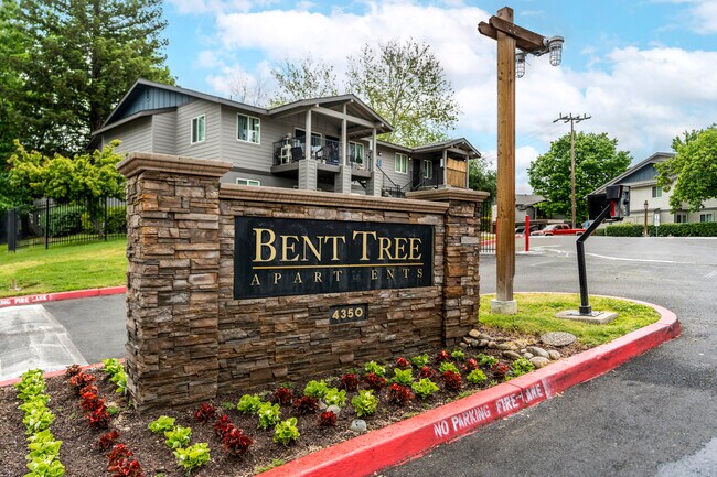
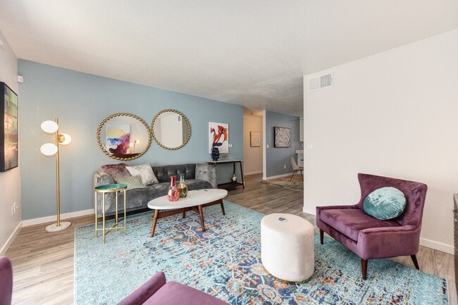
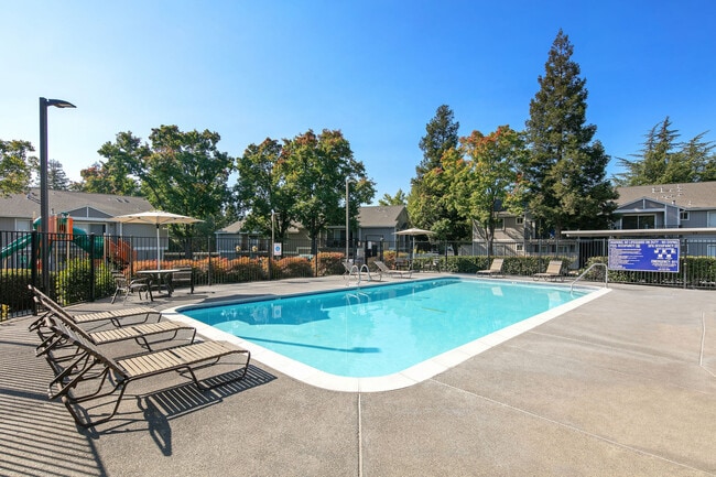
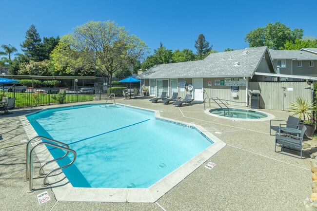
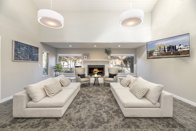
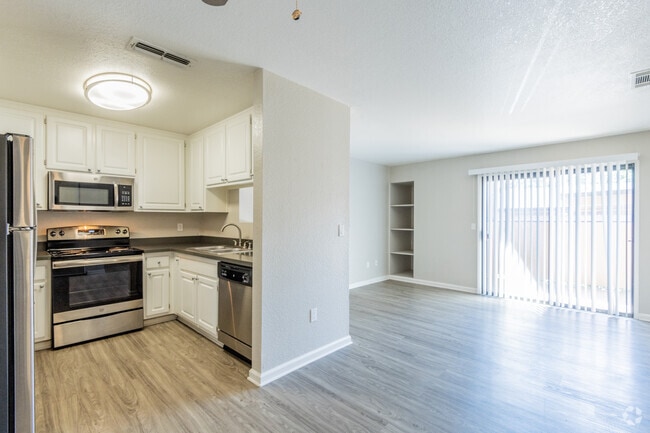
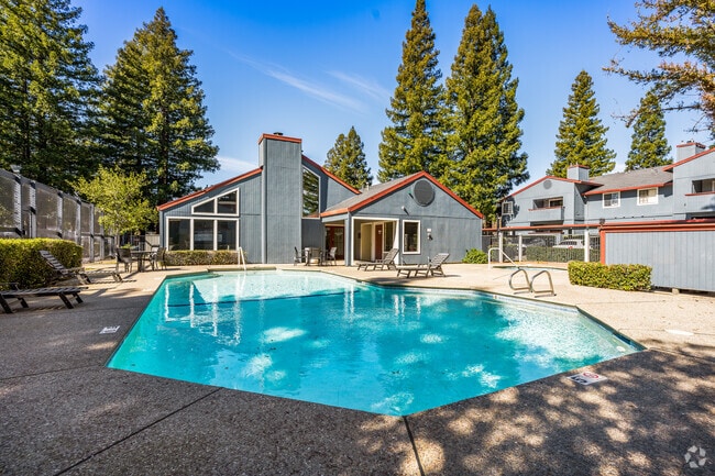
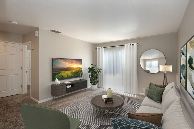
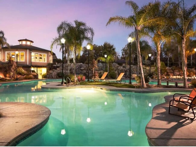
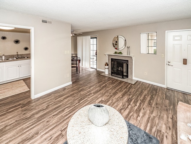
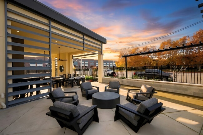
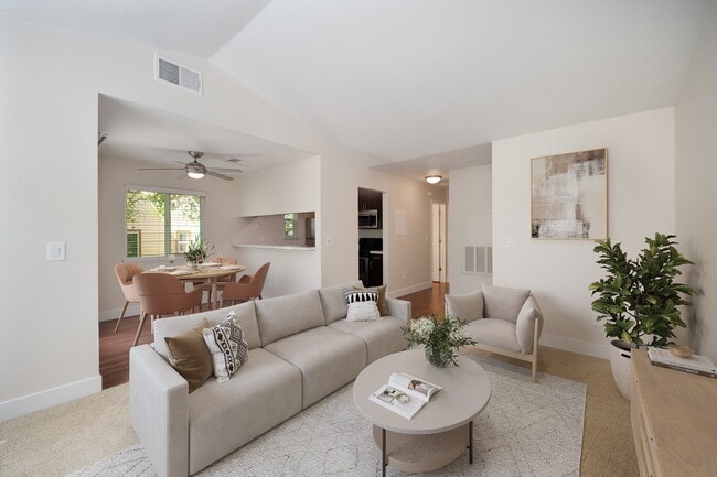
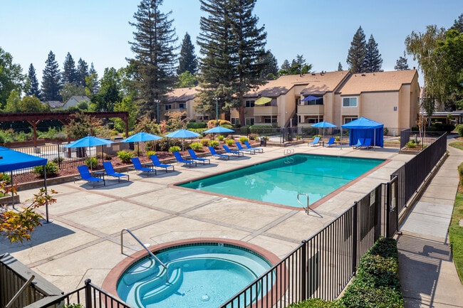
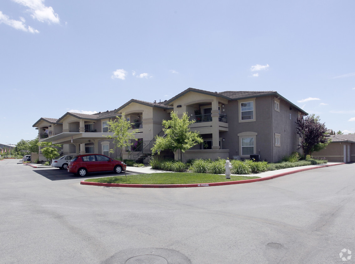
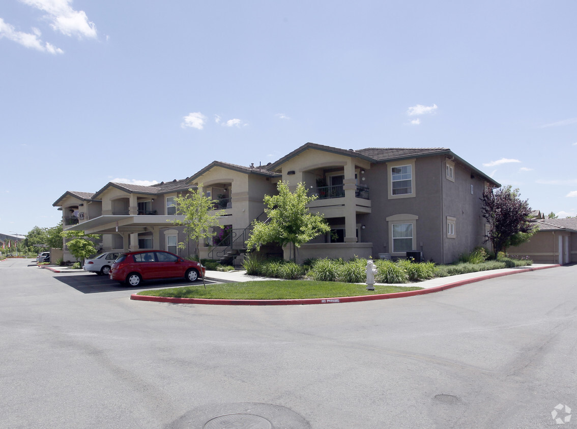
Sierra Creek offers a fresh and welcoming approach to senior living in the heart of Antelope, California. Located off I-80 and Walerga Road in lovely Sacramento County, this pet-friendly community offers one- and two-bedroom apartments with private patios and balconies, large closets, and fully equipped kitchens. Just outside your door, residents enjoy easy access to Mercy San Juan Medical Center, McClellan Park, and the shopping and dining of the Westfield Galleria at Roseville. If you are searching for affordable senior apartments in Antelope, CA, Sierra Creek is a community worth calling home.
Sierra Creek offers a fresh and welcoming approach to senior living in the heart of Antelope, California. Located off I-80 and Walerga Road in lovely Sacramento County, this pet-friendly community offers one- and two-bedroom apartments with private patios and balconies, large closets, and fully equipped kitchens. Just outside your door, residents enjoy easy access to Mercy San Juan Medical Center, McClellan Park, and the shopping and dining of the Westfield Galleria at Roseville. If you are searching for affordable senior apartments in Antelope, CA, Sierra Creek is a community worth calling home.
Sierra Creek is an apartment community located in Sacramento County and the 95843 ZIP Code. This area is served by the Dry Creek Joint Elementary School District attendance zone.
Unique Features
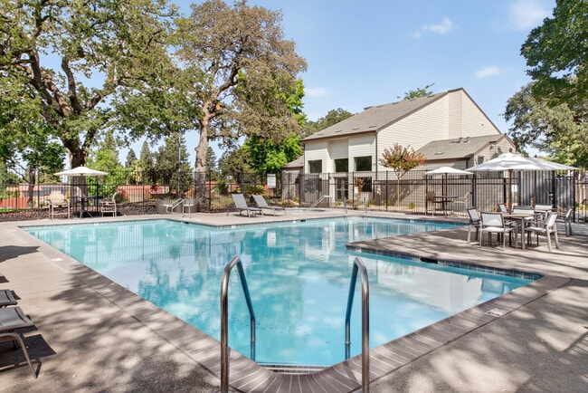
Pool
Laundry Facilities
Business Center
Storage Space
Air Conditioning
High Speed Internet Access
Smoke Free
Window Coverings
Antelope is a suburban community situated just over 15 miles northeast of Sacramento along Interstate 80. This spacious residential area is home to wide boulevards and wooded areas that shroud idyllic homes and a variety of apartment rentals. Popular among families who want to escape the sprawl of Sacramento or anyone who just wants some peace and quiet, Antelope has it all. Five community parks add to the outdoorsy feel of Antelope, while the stores and restaurants along Elverta Road keep residents entertained and well taken care of. Locals head northeast to the shops at the Westfield Galleria, or down to Sacramento for both work and leisure.
Learn more about living in Antelope| Colleges & Universities | Distance | ||
|---|---|---|---|
| Colleges & Universities | Distance | ||
| Drive: | 13 min | 6.1 mi | |
| Drive: | 18 min | 11.7 mi | |
| Drive: | 24 min | 14.4 mi | |
| Drive: | 32 min | 16.0 mi |


 The GreatSchools Rating helps parents compare schools within a state based on a variety of school quality indicators and provides a helpful picture of how effectively each school serves all of its students. Ratings are on a scale of 1 (below average) to 10 (above average) and can include test scores, college readiness, academic progress, advanced courses, equity, discipline and attendance data. We also advise parents to visit schools, consider other information on school performance and programs, and consider family needs as part of the school selection process.
Transportation options available in Antelope include Watt/I-80, located 6.8 miles from Sierra Creek. Sierra Creek is near Sacramento International, located 17.2 miles or 29 minutes away.
| Transit / Subway | Distance | ||
|---|---|---|---|
| Transit / Subway | Distance | ||
|
|
Drive: | 11 min | 6.8 mi |
|
|
Drive: | 13 min | 8.0 mi |
|
|
Drive: | 12 min | 8.1 mi |
| Drive: | 13 min | 8.6 mi | |
|
|
Drive: | 16 min | 10.2 mi |
| Commuter Rail | Distance | ||
|---|---|---|---|
| Commuter Rail | Distance | ||
|
|
Drive: | 13 min | 6.6 mi |
|
|
Drive: | 17 min | 10.9 mi |
|
|
Drive: | 21 min | 15.3 mi |
| Drive: | 30 min | 23.1 mi | |
|
|
Drive: | 30 min | 23.1 mi |
| Airports | Distance | ||
|---|---|---|---|
| Airports | Distance | ||
|
Sacramento International
|
Drive: | 29 min | 17.2 mi |
Scores provided by
 What do Walkability, Transit, Drivability, and Bikeability mean?
Walkability measures the walking distance to day-to-day needs.
Transit measures access to public transportation.
Drivability measures congestion, parking availability, and access to major roads.
Bikeability measures the suitability for cycling.
How It Works
What do Walkability, Transit, Drivability, and Bikeability mean?
Walkability measures the walking distance to day-to-day needs.
Transit measures access to public transportation.
Drivability measures congestion, parking availability, and access to major roads.
Bikeability measures the suitability for cycling.
How It Works
Traffic
-Airport
-Businesses
-Scores provided by
HowLoud What is a Sound Score Rating? A Sound Score Rating aggregates noise caused by vehicle traffic, airplane traffic and local sources. How It WorksTime and distance from Sierra Creek.
| Shopping Centers | Distance | ||
|---|---|---|---|
| Shopping Centers | Distance | ||
| Walk: | 3 min | 0.2 mi | |
| Walk: | 5 min | 0.3 mi | |
| Walk: | 7 min | 0.4 mi |
| Parks and Recreation | Distance | ||
|---|---|---|---|
| Parks and Recreation | Distance | ||
|
Gibson Ranch County Park
|
Drive: | 9 min | 3.8 mi |
|
Aerospace Museum of California
|
Drive: | 10 min | 4.3 mi |
|
Mahan Park
|
Drive: | 10 min | 5.2 mi |
|
Luken Park
|
Drive: | 10 min | 5.3 mi |
|
Mahany Park
|
Drive: | 11 min | 5.7 mi |
| Hospitals | Distance | ||
|---|---|---|---|
| Hospitals | Distance | ||
| Drive: | 10 min | 5.2 mi | |
| Drive: | 12 min | 7.6 mi | |
| Drive: | 14 min | 9.0 mi |
| Military Bases | Distance | ||
|---|---|---|---|
| Military Bases | Distance | ||
| Drive: | 17 min | 6.0 mi | |
| Drive: | 60 min | 35.3 mi | |
| Drive: | 71 min | 54.9 mi |
4500 Elverta Rd
Antelope, CA 95843