
The Woods
6413 Tupelo Dr,
Citrus Heights, CA 95621
$1,599 - $2,050
1-2 Beds
Bedrooms
1 - 2 bd
Bathrooms
1 ba
Square Feet
687 - 984 sq ft
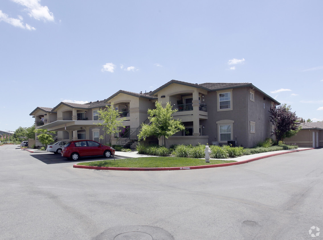
Discover your new place at Sierra Creek. This property is situated on Elverta Rd in Antelope. The professional leasing staff is ready to help you find your perfect home. Select from 1 to 2 bedroom floor plans. At Sierra Creek you'll feel right at home.
Discover your new place at Sierra Creek. This property is situated on Elverta Rd in Antelope. The professional leasing staff is ready to help you find your perfect home. Select from 1 to 2 bedroom floor plans. At Sierra Creek you'll feel right at home.
Sierra Creek is an apartment community located in Sacramento County and the 95843 ZIP Code. This area is served by the Dry Creek Joint Elementary attendance zone.
Antelope is a suburban community situated just over 15 miles northeast of Sacramento along Interstate 80. This spacious residential area is home to wide boulevards and wooded areas that shroud idyllic homes and a variety of apartment rentals. Popular among families who want to escape the sprawl of Sacramento or anyone who just wants some peace and quiet, Antelope has it all. Five community parks add to the outdoorsy feel of Antelope, while the stores and restaurants along Elverta Road keep residents entertained and well taken care of. Locals head northeast to the shops at the Westfield Galleria, or down to Sacramento for both work and leisure.
Learn more about living in Antelope| Colleges & Universities | Distance | ||
|---|---|---|---|
| Colleges & Universities | Distance | ||
| Drive: | 13 min | 6.1 mi | |
| Drive: | 18 min | 11.7 mi | |
| Drive: | 24 min | 14.4 mi | |
| Drive: | 32 min | 16.0 mi |


Transportation options available in Antelope include Watt/I-80, located 6.8 miles from Sierra Creek. Sierra Creek is near Sacramento International, located 17.2 miles or 29 minutes away.
| Transit / Subway | Distance | ||
|---|---|---|---|
| Transit / Subway | Distance | ||
|
|
Drive: | 11 min | 6.8 mi |
|
|
Drive: | 13 min | 8.0 mi |
|
|
Drive: | 12 min | 8.1 mi |
| Drive: | 13 min | 8.6 mi | |
|
|
Drive: | 16 min | 10.2 mi |
| Commuter Rail | Distance | ||
|---|---|---|---|
| Commuter Rail | Distance | ||
|
|
Drive: | 13 min | 6.6 mi |
|
|
Drive: | 17 min | 10.9 mi |
| Drive: | 21 min | 15.3 mi | |
| Drive: | 30 min | 23.1 mi | |
|
|
Drive: | 30 min | 23.1 mi |
| Airports | Distance | ||
|---|---|---|---|
| Airports | Distance | ||
|
Sacramento International
|
Drive: | 29 min | 17.2 mi |
Time and distance from Sierra Creek.
| Shopping Centers | Distance | ||
|---|---|---|---|
| Shopping Centers | Distance | ||
| Walk: | 3 min | 0.2 mi | |
| Walk: | 5 min | 0.3 mi | |
| Walk: | 7 min | 0.4 mi |
| Parks and Recreation | Distance | ||
|---|---|---|---|
| Parks and Recreation | Distance | ||
|
Gibson Ranch County Park
|
Drive: | 9 min | 3.8 mi |
|
Aerospace Museum of California
|
Drive: | 10 min | 4.3 mi |
|
Mahan Park
|
Drive: | 10 min | 5.2 mi |
|
Luken Park
|
Drive: | 10 min | 5.3 mi |
|
Mahany Park
|
Drive: | 11 min | 5.7 mi |
| Hospitals | Distance | ||
|---|---|---|---|
| Hospitals | Distance | ||
| Drive: | 10 min | 5.2 mi | |
| Drive: | 12 min | 7.6 mi | |
| Drive: | 14 min | 9.0 mi |
| Military Bases | Distance | ||
|---|---|---|---|
| Military Bases | Distance | ||
| Drive: | 17 min | 6.0 mi |
What Are Walk Score®, Transit Score®, and Bike Score® Ratings?
Walk Score® measures the walkability of any address. Transit Score® measures access to public transit. Bike Score® measures the bikeability of any address.
What is a Sound Score Rating?
A Sound Score Rating aggregates noise caused by vehicle traffic, airplane traffic and local sources

4500 Elverta Rd
Antelope, CA 95843


