
Lux: Wonderland in Crossroads / Katz on Main
1923 Broadway Blvd,
Kansas City, MO 64108
$1,485 - $3,358
Studio - 2 Beds
Sentinel Lofts is an apartment community located in Jackson County and the 64106 ZIP Code.
Air Conditioning
Refrigerator
Disposal
Heating
Kansas City’s Financial District mixes the old and new, with historic buildings and modern amenities. You can visit parks like Ilus W. Davis Park, which offers a nice place to relax with trees and walking paths. The neighborhood has lots of shops and restaurants, so there’s always something to do. Getting around is easy with the free KC Streetcar and many bus routes, so you don’t need a car to get to work or explore the city. Housing costs vary, with choices from trendy lofts to historic apartments.
The Financial District is known for its art deco buildings, which show off its past as a busy business center. The neighborhood is close to the Power & Light District, which is famous for its entertainment, including music and dining. Every year, the K.C. Fringe Festival happens here, celebrating arts and creativity with a variety of performances.
Learn more about living in Financial DistrictCompare neighborhood and city base rent averages by bedroom.
| Financial District | Kansas City, MO | |
|---|---|---|
| Studio | $1,162 | $1,038 |
| 1 Bedroom | $1,434 | $1,251 |
| 2 Bedrooms | $1,892 | $1,484 |
| 3 Bedrooms | $2,960 | $1,769 |
| Colleges & Universities | Distance | ||
|---|---|---|---|
| Colleges & Universities | Distance | ||
| Drive: | 10 min | 4.4 mi | |
| Drive: | 10 min | 5.3 mi | |
| Drive: | 11 min | 6.2 mi | |
| Drive: | 18 min | 8.6 mi |
Transportation options available in Kansas City include Library On Main At 9Th St Sb, located 0.2 mile from Sentinel Lofts. Sentinel Lofts is near Kansas City International, located 19.2 miles or 27 minutes away.
| Transit / Subway | Distance | ||
|---|---|---|---|
| Transit / Subway | Distance | ||
| Walk: | 2 min | 0.2 mi | |
| Walk: | 3 min | 0.2 mi | |
| Walk: | 5 min | 0.3 mi | |
| Walk: | 6 min | 0.3 mi | |
| Walk: | 8 min | 0.5 mi |
| Commuter Rail | Distance | ||
|---|---|---|---|
| Commuter Rail | Distance | ||
|
|
Drive: | 5 min | 1.7 mi |
|
|
Drive: | 18 min | 9.8 mi |
|
|
Drive: | 31 min | 20.3 mi |
| Airports | Distance | ||
|---|---|---|---|
| Airports | Distance | ||
|
Kansas City International
|
Drive: | 27 min | 19.2 mi |
Scores provided by
Traffic
-Airport
-Businesses
-Scores provided by
HowLoud What is a Sound Score Rating? A Sound Score Rating aggregates noise caused by vehicle traffic, airplane traffic and local sources. How It WorksTime and distance from Sentinel Lofts.
| Shopping Centers | Distance | ||
|---|---|---|---|
| Shopping Centers | Distance | ||
| Walk: | 7 min | 0.4 mi | |
| Walk: | 10 min | 0.5 mi | |
| Walk: | 11 min | 0.6 mi |
| Parks and Recreation | Distance | ||
|---|---|---|---|
| Parks and Recreation | Distance | ||
|
Science City at Union Station
|
Drive: | 5 min | 1.5 mi |
|
Richard Berkley Riverfront Park
|
Drive: | 9 min | 4.1 mi |
|
Mill Creek Park
|
Drive: | 9 min | 4.2 mi |
|
Donald J. Hall Sculpture Park
|
Drive: | 9 min | 4.5 mi |
|
Theis Park
|
Drive: | 9 min | 4.7 mi |
| Hospitals | Distance | ||
|---|---|---|---|
| Hospitals | Distance | ||
| Drive: | 3 min | 1.5 mi | |
| Drive: | 4 min | 1.8 mi | |
| Drive: | 4 min | 1.9 mi |
| Military Bases | Distance | ||
|---|---|---|---|
| Military Bases | Distance | ||
| Drive: | 51 min | 31.2 mi | |
| Drive: | 74 min | 67.1 mi | |
| Drive: | 114 min | 76.7 mi |
Pets Allowed Fitness Center Dishwasher Refrigerator Kitchen In Unit Washer & Dryer
What Are Walk Score®, Transit Score®, and Bike Score® Ratings?
Walk Score® measures the walkability of any address. Transit Score® measures access to public transit. Bike Score® measures the bikeability of any address.
What is a Sound Score Rating?
A Sound Score Rating aggregates noise caused by vehicle traffic, airplane traffic and local sources.

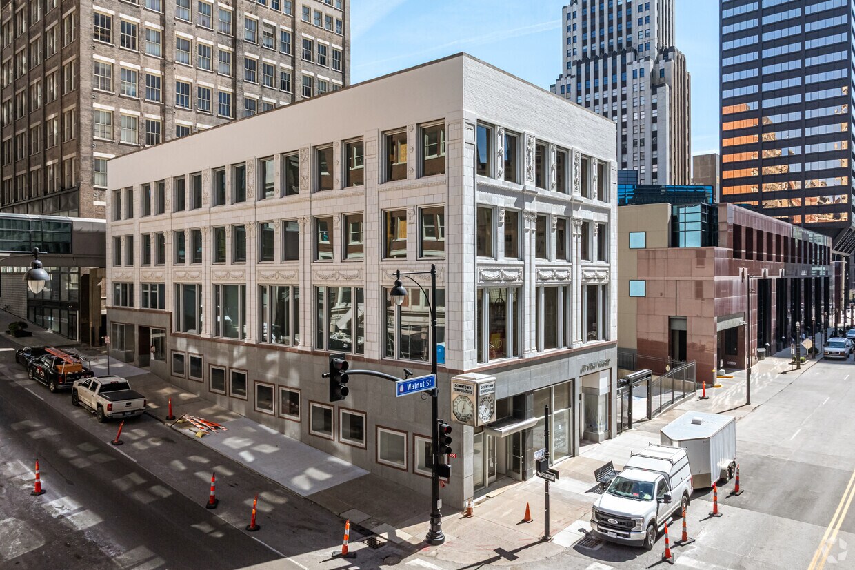
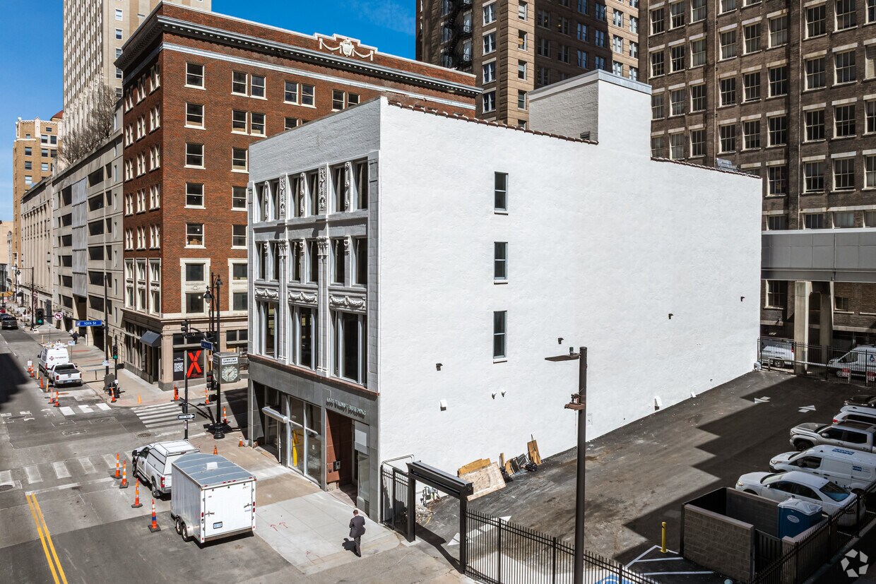
1003 Walnut St
Kansas City, MO 64106


