
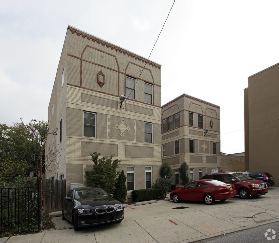
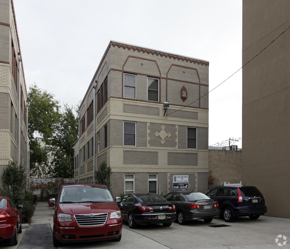
1213 Walnut
1213 Walnut St,
Philadelphia, PA 19107
$2,350 - $5,739
Studio - 2 Beds


Romeo Place in Philadelphia is ready for your visit. Based in the 19123 Zip code of Philadelphia on Poplar St., you have an easy connection to a number of enjoyable entertainment options within a few miles. The team of leasing professionals is ready for you to come by for a tour. Make sure you to view the available floorplans. Stop by the leasing office to find out the current floorplan availability.
Romeo Place is a townhouse community located in Philadelphia County and the 19123 ZIP Code. This area is served by the The School District of Philadelphia attendance zone.
Northern Liberties, also known as “NoLibs” is a historic neighborhood that has transformed into one of Philadelphia’s trendiest neighborhoods known for its cool, artsy vibe. Formally Philly’s manufacturing district, Northern Liberties merges the old and new with charming affordable rowhouses to upscale apartments available for rent. Nestled along the Delaware River bordering Center City and Callowhill, which is also known for its vibrant arts and culture scenes, Northern Liberties offers residents an abundance of amenities. The neighborhood is walkable and pedestrian-friendly with several transit stops and amble bike racks throughout the neighborhood. You’ll find locals walking to one of the many popular brunch spots, thrilling bars, authentic international restaurants, art galleries, and more every day.
Learn more about living in Northern LibertiesCompare neighborhood and city base rent averages by bedroom.
| Northern Liberties | Philadelphia, PA | |
|---|---|---|
| Studio | $1,635 | $1,161 |
| 1 Bedroom | $2,248 | $1,302 |
| 2 Bedrooms | $3,079 | $1,732 |
| 3 Bedrooms | $4,185 | $2,160 |
| Colleges & Universities | Distance | ||
|---|---|---|---|
| Colleges & Universities | Distance | ||
| Drive: | 4 min | 1.8 mi | |
| Drive: | 6 min | 1.8 mi | |
| Drive: | 4 min | 1.9 mi | |
| Drive: | 5 min | 2.0 mi |


Transportation options available in Philadelphia include Girard Av & 4Th St, located 0.4 mile from Romeo Place. Romeo Place is near Philadelphia International, located 12.3 miles or 22 minutes away, and Trenton Mercer, located 32.2 miles or 48 minutes away.
| Transit / Subway | Distance | ||
|---|---|---|---|
| Transit / Subway | Distance | ||
| Walk: | 6 min | 0.4 mi | |
| Walk: | 7 min | 0.4 mi | |
| Walk: | 8 min | 0.4 mi | |
| Walk: | 8 min | 0.5 mi | |
| Walk: | 8 min | 0.5 mi |
| Commuter Rail | Distance | ||
|---|---|---|---|
| Commuter Rail | Distance | ||
|
|
Drive: | 5 min | 1.6 mi |
|
|
Drive: | 5 min | 1.8 mi |
|
|
Drive: | 5 min | 2.4 mi |
|
|
Drive: | 7 min | 2.5 mi |
|
|
Drive: | 7 min | 2.8 mi |
| Airports | Distance | ||
|---|---|---|---|
| Airports | Distance | ||
|
Philadelphia International
|
Drive: | 22 min | 12.3 mi |
|
Trenton Mercer
|
Drive: | 48 min | 32.2 mi |
Scores provided by
Traffic
BusyAirport
CalmBusinesses
BusyScores provided by
HowLoud What is a Sound Score Rating? A Sound Score Rating aggregates noise caused by vehicle traffic, airplane traffic and local sources. How It WorksTime and distance from Romeo Place.
| Shopping Centers | Distance | ||
|---|---|---|---|
| Shopping Centers | Distance | ||
| Walk: | 8 min | 0.5 mi | |
| Walk: | 10 min | 0.5 mi | |
| Walk: | 14 min | 0.8 mi |
| Parks and Recreation | Distance | ||
|---|---|---|---|
| Parks and Recreation | Distance | ||
|
Edgar Allan Poe Nat'l Historic Site
|
Walk: | 13 min | 0.7 mi |
|
Great Egg Harbor River
|
Drive: | 3 min | 1.3 mi |
|
Lower Delaware National Wild and Scenic River
|
Drive: | 3 min | 1.3 mi |
|
Independence National Historical Park
|
Drive: | 3 min | 1.4 mi |
|
Independence Seaport Museum
|
Drive: | 5 min | 1.7 mi |
| Hospitals | Distance | ||
|---|---|---|---|
| Hospitals | Distance | ||
| Drive: | 4 min | 1.8 mi | |
| Drive: | 5 min | 1.9 mi | |
| Drive: | 6 min | 2.1 mi |
| Military Bases | Distance | ||
|---|---|---|---|
| Military Bases | Distance | ||
| Drive: | 13 min | 6.7 mi |
What Are Walk Score®, Transit Score®, and Bike Score® Ratings?
Walk Score® measures the walkability of any address. Transit Score® measures access to public transit. Bike Score® measures the bikeability of any address.
What is a Sound Score Rating?
A Sound Score Rating aggregates noise caused by vehicle traffic, airplane traffic and local sources.

311-317 Poplar St
Philadelphia, PA 19123


