
The Riverdale Tower
3745 Riverdale Ave,
The Bronx, NY 10463
$2,200 - $4,750
Studio - 2 Beds
A 14-story building with balconies, gym, courtyard, on-site dry cleaning, and 24-hour security. The Property offers an ideal location, being less than a 15-minute commute to Midtown Manhattan and a 25-minute trip to Wall Street. There are subway stops within two blocks for the 1, 2, 3, A, B, & C trains, three of which are the neighborhoods only express stops. The Property is one block west of Central Park and three blocks east of Riverside Park, a four-mile expanse along the Hudson River. The section of Riverside Park closest to the Property has the parks 10 public clay tennis courts and a playground. The Property is less than a block from Whole Foods and three blocks from Trader Joes.
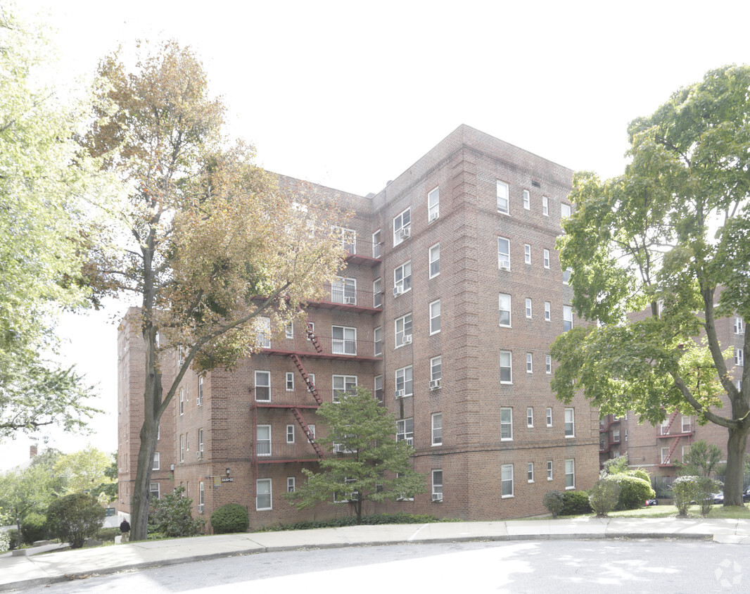
Riverdale Gardens is an apartment community located in Bronx County and the 10471 ZIP Code. This area is served by the New York City Geographic District #10 attendance zone.
Unique Features
Laundry Facilities
Elevator
Playground
Maintenance on site
North Riverdale is a quiet neighborhood in the Bronx that sits atop the rocky cliffs of the Hudson River. The neighborhood features tree-lined avenues and Victorian country estates that sit at the end of long, winding drives. Renters enjoy the variety of single-family homes and apartments for rent in many large brick high-rises. Although North Riverdale feels separate from New York proper, the commute to Manhattan is quite reasonable. Shops and restaurants line Riverdale Avenue and Mosholu Avenue, including several local favorites like Beccofino for its cozy atmosphere and traditional Italian dishes. East of the neighborhood, you’ll find Van Cortlandt Park, complete with walking trails, a golf course, and horse stables.
Learn more about living in North Riverdale| Colleges & Universities | Distance | ||
|---|---|---|---|
| Colleges & Universities | Distance | ||
| Drive: | 4 min | 1.9 mi | |
| Drive: | 7 min | 3.7 mi | |
| Drive: | 8 min | 3.9 mi | |
| Drive: | 9 min | 4.3 mi |


Transportation options available in Bronx include Van Cortlandt Park-242 Street, located 1.8 miles from Riverdale Gardens. Riverdale Gardens is near LaGuardia, located 13.5 miles or 24 minutes away, and Westchester County, located 24.5 miles or 33 minutes away.
| Transit / Subway | Distance | ||
|---|---|---|---|
| Transit / Subway | Distance | ||
|
|
Drive: | 4 min | 1.8 mi |
|
|
Drive: | 5 min | 2.2 mi |
|
|
Drive: | 4 min | 2.4 mi |
|
|
Drive: | 5 min | 3.2 mi |
|
|
Drive: | 5 min | 3.4 mi |
| Commuter Rail | Distance | ||
|---|---|---|---|
| Commuter Rail | Distance | ||
|
|
Walk: | 14 min | 0.8 mi |
|
|
Drive: | 4 min | 1.8 mi |
|
|
Drive: | 5 min | 2.4 mi |
|
|
Drive: | 6 min | 2.5 mi |
|
|
Drive: | 6 min | 2.6 mi |
| Airports | Distance | ||
|---|---|---|---|
| Airports | Distance | ||
|
LaGuardia
|
Drive: | 24 min | 13.5 mi |
|
Westchester County
|
Drive: | 33 min | 24.5 mi |
Time and distance from Riverdale Gardens.
| Shopping Centers | Distance | ||
|---|---|---|---|
| Shopping Centers | Distance | ||
| Drive: | 4 min | 1.7 mi | |
| Drive: | 4 min | 2.2 mi | |
| Drive: | 5 min | 2.3 mi |
| Parks and Recreation | Distance | ||
|---|---|---|---|
| Parks and Recreation | Distance | ||
|
Wave Hill
|
Walk: | 15 min | 0.8 mi |
|
Riverdale Park
|
Drive: | 3 min | 1.2 mi |
|
Henry Hudson Park
|
Drive: | 3 min | 2.1 mi |
|
Van Cortlandt Park
|
Drive: | 5 min | 3.8 mi |
|
Tenafly Nature Center
|
Drive: | 18 min | 11.4 mi |
| Hospitals | Distance | ||
|---|---|---|---|
| Hospitals | Distance | ||
| Drive: | 5 min | 2.1 mi | |
| Drive: | 6 min | 3.5 mi | |
| Drive: | 10 min | 4.7 mi |
| Military Bases | Distance | ||
|---|---|---|---|
| Military Bases | Distance | ||
| Drive: | 26 min | 14.0 mi |
What Are Walk Score®, Transit Score®, and Bike Score® Ratings?
Walk Score® measures the walkability of any address. Transit Score® measures access to public transit. Bike Score® measures the bikeability of any address.
What is a Sound Score Rating?
A Sound Score Rating aggregates noise caused by vehicle traffic, airplane traffic and local sources

5530-5572 Netherland Ave
Bronx, NY 10471


