
The Martin
240 S Taaffe St,
Sunnyvale, CA 94086
Studio - 3 Beds $3,785 - $8,000
Bedrooms
1 - 2 bd
Bathrooms
1 ba
Square Feet
711 - 810 sq ft
PKSL (pronounced "Pixel") is a recently re-developed apartment community featuring modern styling and amenities inspired by Silicon Valley.
PKSL (pronounced "Pixel") is a recently re-developed apartment community featuring modern styling and amenities inspired by Silicon Valley.
PKSL is an apartment community located in Santa Clara County and the 94087 ZIP Code. This area is served by the Sunnyvale attendance zone.
Pool
Laundry Facilities
Recycling
Bicycle Storage
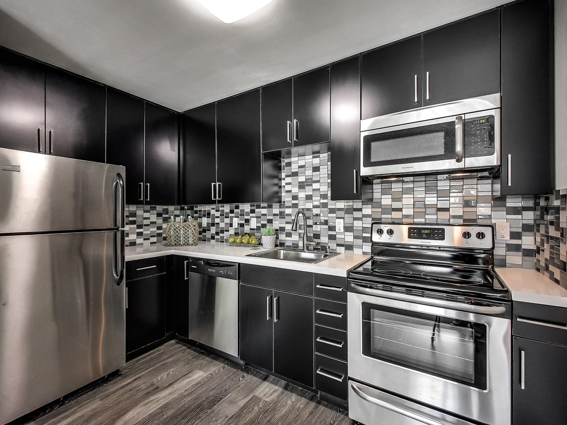
Dishwasher
High Speed Internet Access
Hardwood Floors
Microwave
True to its name, this neighborhood is home to the Sunnyvale Community Center and Park. The community center has a theater, art classes, and other recreational activities while the park has a pond with waterfront trails. Residents also have access to Ortega Park and Braly Park, which both have excellent sports facilities as well. Along with several shopping plazas and restaurants right outside of the boundaries of the neighborhood, Sunnyvale Community Center is about two miles away from Downtown Sunnyvale placing residents just minutes away from some of the city’s best dining and shopping options. Located in Silicon Valley, the Sunnyvale Community Center neighborhood is also convenient to several technology companies including Apple and Google. This convenient locale features moderately priced to upscale rentals in a variety of styles including California bungalows, luxury condos, mid-rise apartments, and modern condos.
Learn more about living in Community Center/Sunnyvale| Colleges & Universities | Distance | ||
|---|---|---|---|
| Colleges & Universities | Distance | ||
| Drive: | 10 min | 4.1 mi | |
| Drive: | 14 min | 5.8 mi | |
| Drive: | 14 min | 7.3 mi | |
| Drive: | 13 min | 8.2 mi |


Transportation options available in Sunnyvale include Middlefield Station, located 3.7 miles from PKSL. PKSL is near Norman Y Mineta San Jose International, located 6.1 miles or 14 minutes away, and San Francisco International, located 29.2 miles or 38 minutes away.
| Transit / Subway | Distance | ||
|---|---|---|---|
| Transit / Subway | Distance | ||
|
|
Drive: | 8 min | 3.7 mi |
|
|
Drive: | 10 min | 3.9 mi |
|
|
Drive: | 8 min | 4.0 mi |
|
|
Drive: | 9 min | 4.3 mi |
|
|
Drive: | 9 min | 5.0 mi |
| Commuter Rail | Distance | ||
|---|---|---|---|
| Commuter Rail | Distance | ||
| Drive: | 4 min | 1.8 mi | |
| Drive: | 8 min | 3.4 mi | |
| Drive: | 9 min | 4.2 mi | |
| Drive: | 9 min | 4.3 mi | |
| Drive: | 13 min | 7.5 mi |
| Airports | Distance | ||
|---|---|---|---|
| Airports | Distance | ||
|
Norman Y Mineta San Jose International
|
Drive: | 14 min | 6.1 mi |
|
San Francisco International
|
Drive: | 38 min | 29.2 mi |
Time and distance from PKSL.
| Shopping Centers | Distance | ||
|---|---|---|---|
| Shopping Centers | Distance | ||
| Walk: | 6 min | 0.3 mi | |
| Walk: | 8 min | 0.4 mi | |
| Walk: | 10 min | 0.6 mi |
| Parks and Recreation | Distance | ||
|---|---|---|---|
| Parks and Recreation | Distance | ||
|
Fujitsu Planetarium
|
Drive: | 10 min | 4.1 mi |
|
Deer Hollow Farm
|
Drive: | 11 min | 5.5 mi |
|
Rancho San Antonio County Park
|
Drive: | 12 min | 5.6 mi |
|
McClellan Ranch Park
|
Drive: | 12 min | 5.9 mi |
|
Fremont Older Open Space Preserve
|
Drive: | 16 min | 6.2 mi |
| Hospitals | Distance | ||
|---|---|---|---|
| Hospitals | Distance | ||
| Drive: | 7 min | 2.9 mi | |
| Drive: | 7 min | 3.3 mi | |
| Drive: | 8 min | 4.0 mi |
| Military Bases | Distance | ||
|---|---|---|---|
| Military Bases | Distance | ||
| Drive: | 13 min | 6.2 mi |
What Are Walk Score®, Transit Score®, and Bike Score® Ratings?
Walk Score® measures the walkability of any address. Transit Score® measures access to public transit. Bike Score® measures the bikeability of any address.
What is a Sound Score Rating?
A Sound Score Rating aggregates noise caused by vehicle traffic, airplane traffic and local sources

1090 Sunnyvale Saratoga Rd
Sunnyvale, CA 94087


