
Parkway Lofts
5 Lawrence St,
Bloomfield, NJ 07003
$2,025 - $3,855
Studio - 2 Beds

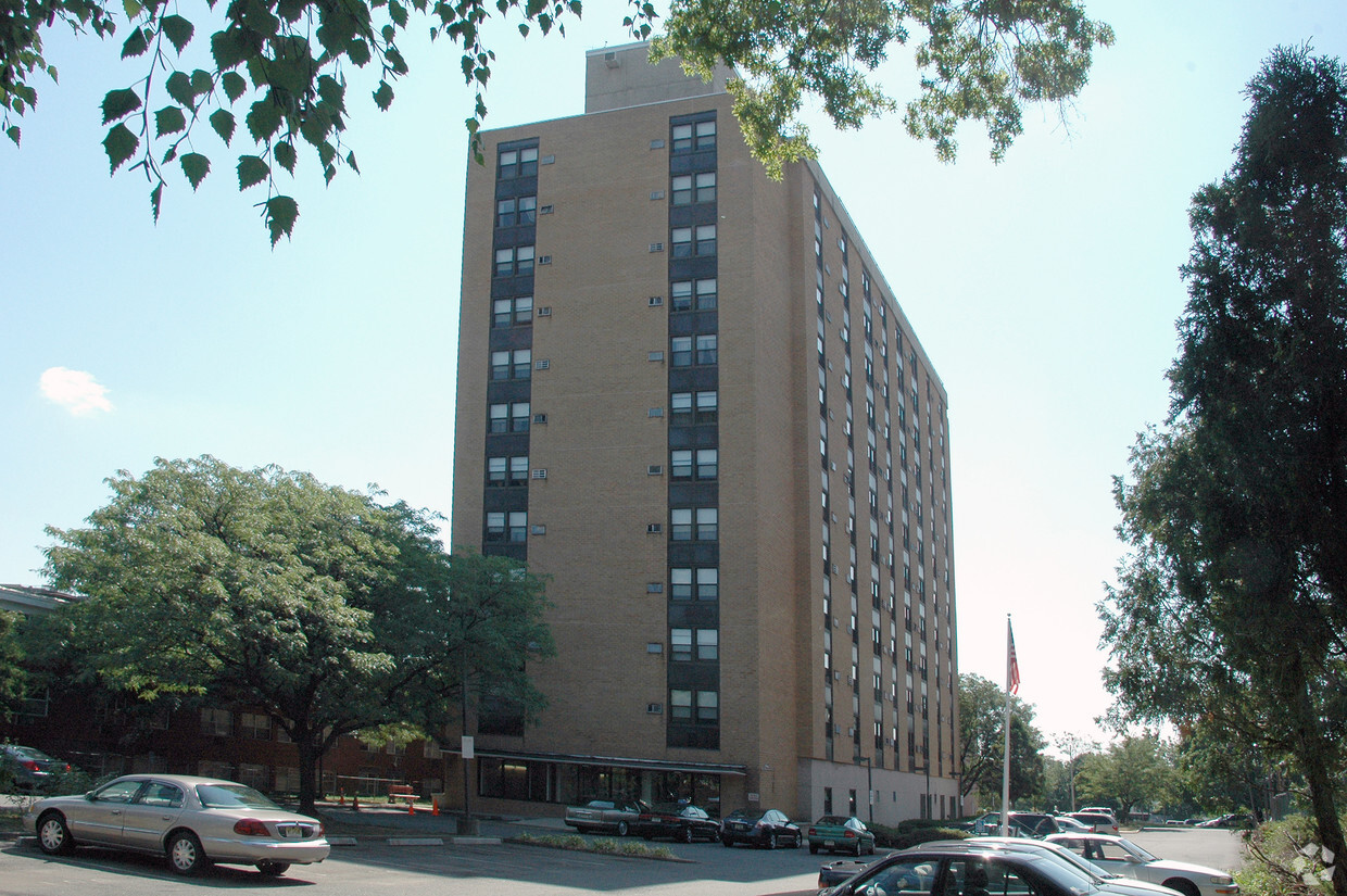
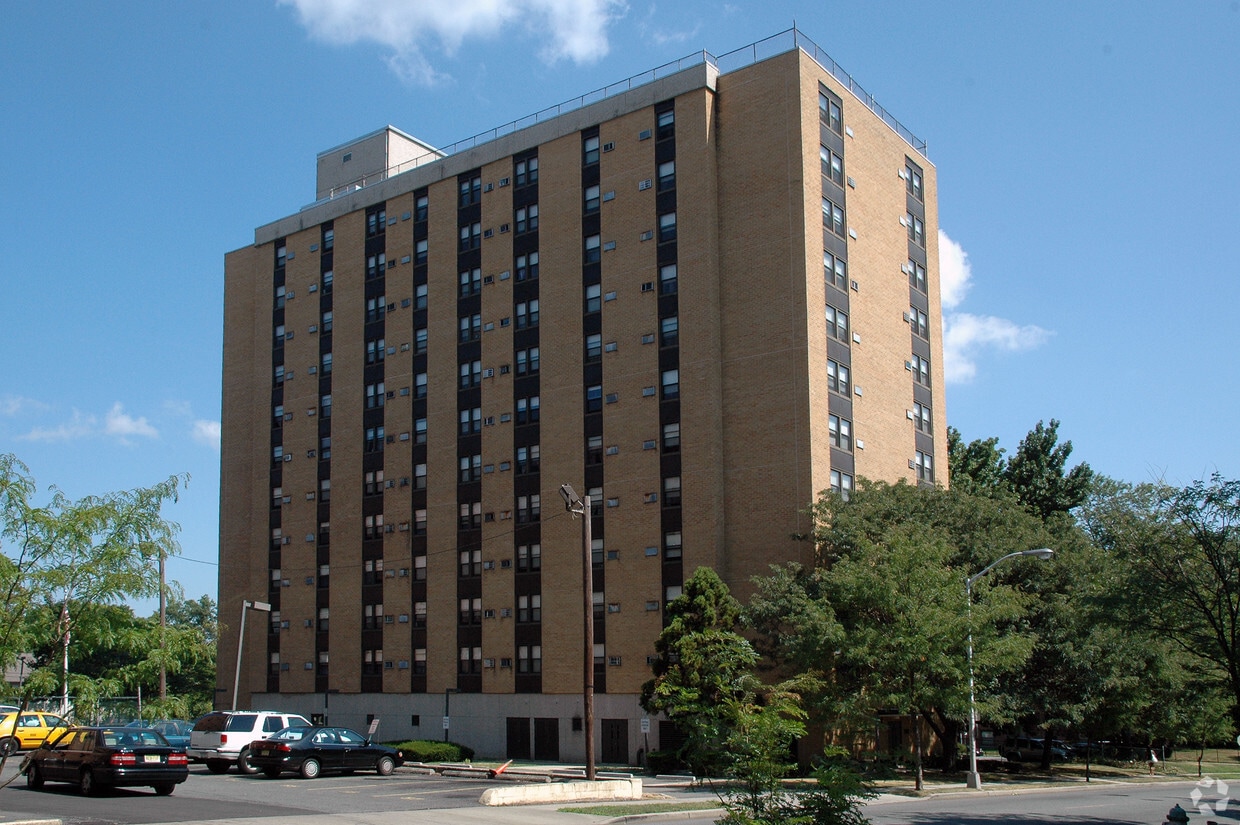
At Peter Antonellis Apartments, experience stylish living. These apartments are located in the 07018 area of East Orange. From availability to location, the leasing team is ready to help match you with your perfect floorplan. Make sure you to check out the apartment floorplan options. It's time to love where you live. Stop by for a visit today.
Peter Antonellis Apartments is an apartment community located in Essex County and the 07018 ZIP Code. This area is served by the East Orange School District attendance zone.
East Orange, NJ, sits just 12 miles from Manhattan, combining historic charm with contemporary city living. Tree-lined streets showcase the area's architectural heritage, from pre-war apartment buildings to classic single-family homes.
The city features established neighborhoods like Greenwood, known for its architectural character, and the Central Avenue Commercial District. Elmwood Park provides recreational opportunities with its swimming pool, tennis courts, and walking track. The East Orange Campus High School stands on the historic grounds of the former Upsala College, while the Whitney E. Houston Academy of Creative & Performing Arts honors the legendary singer's local roots. Two NJ Transit train stations offer direct service to New York City, making the area particularly accessible for commuters.
Learn more about living in East Orange| Colleges & Universities | Distance | ||
|---|---|---|---|
| Colleges & Universities | Distance | ||
| Drive: | 5 min | 1.6 mi | |
| Drive: | 6 min | 3.2 mi | |
| Drive: | 7 min | 3.2 mi | |
| Drive: | 6 min | 3.4 mi |


Transportation options available in East Orange include Norfolk Street, located 2.8 miles from Peter Antonellis Apartments. Peter Antonellis Apartments is near Newark Liberty International, located 8.7 miles or 15 minutes away, and LaGuardia, located 30.0 miles or 45 minutes away.
| Transit / Subway | Distance | ||
|---|---|---|---|
| Transit / Subway | Distance | ||
|
|
Drive: | 5 min | 2.8 mi |
|
|
Drive: | 5 min | 2.9 mi |
|
|
Drive: | 5 min | 3.1 mi |
|
|
Drive: | 7 min | 3.4 mi |
|
|
Drive: | 7 min | 3.9 mi |
| Commuter Rail | Distance | ||
|---|---|---|---|
| Commuter Rail | Distance | ||
|
|
Walk: | 13 min | 0.7 mi |
|
|
Drive: | 2 min | 1.3 mi |
|
|
Drive: | 3 min | 1.4 mi |
|
|
Drive: | 3 min | 1.4 mi |
|
|
Drive: | 6 min | 2.0 mi |
| Airports | Distance | ||
|---|---|---|---|
| Airports | Distance | ||
|
Newark Liberty International
|
Drive: | 15 min | 8.7 mi |
|
LaGuardia
|
Drive: | 45 min | 30.0 mi |
Time and distance from Peter Antonellis Apartments.
| Shopping Centers | Distance | ||
|---|---|---|---|
| Shopping Centers | Distance | ||
| Walk: | 17 min | 0.9 mi | |
| Drive: | 3 min | 1.6 mi | |
| Drive: | 5 min | 2.1 mi |
| Parks and Recreation | Distance | ||
|---|---|---|---|
| Parks and Recreation | Distance | ||
|
Edison National Historic Site
|
Drive: | 6 min | 2.5 mi |
|
Newark Museum and Dreyfuss Planetarium
|
Drive: | 6 min | 3.5 mi |
|
Branch Brook Park
|
Drive: | 9 min | 4.3 mi |
|
Turtle Back Zoo
|
Drive: | 10 min | 4.3 mi |
|
Greenwood Gardens
|
Drive: | 13 min | 5.9 mi |
| Hospitals | Distance | ||
|---|---|---|---|
| Hospitals | Distance | ||
| Walk: | 21 min | 1.1 mi | |
| Drive: | 5 min | 2.8 mi | |
| Drive: | 6 min | 3.3 mi |
| Military Bases | Distance | ||
|---|---|---|---|
| Military Bases | Distance | ||
| Drive: | 20 min | 12.6 mi | |
| Drive: | 26 min | 14.5 mi | |
| Drive: | 31 min | 15.6 mi |
What Are Walk Score®, Transit Score®, and Bike Score® Ratings?
Walk Score® measures the walkability of any address. Transit Score® measures access to public transit. Bike Score® measures the bikeability of any address.
What is a Sound Score Rating?
A Sound Score Rating aggregates noise caused by vehicle traffic, airplane traffic and local sources.
287 S Harrison St
East Orange, NJ 07018


