
The Charlie Perris
2700 N Perris Blvd,
Perris, CA 92571
$2,489 - $3,028 Total Monthly Price
1-3 Beds

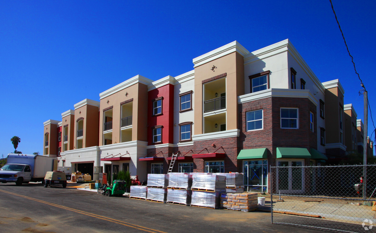
Welcome to the new Perris Station, where quality and affordability blend beautifully, to create the ultimate living experience for active seniors 55+. You will love the location in heart of Perris' revitalized Historic District. The Perris Senior Center and City Hall are just across street and a new transit Center is right down the block. The Perris Crossing Shopping Center is only a few minutes drive, while convenient access to major highways and I- 215 put all of Riverside County and the Inland Empire within easy reach. Our brand new, one and two-bedroom apartment homes feature fully equipped kitchens, large closets, private balconies/patios and comfortable, well-designed living spaces. You will also enjoy elevator access, a community fitness center and activities room, a large covered terrace/patio area for socializing, two convenient clothes care centers, underground parking, and more! ** Prices subject to change and are based on new tenancy. Apartments Management Consultants, Broker License # 01525033
Perris Station Apartments is an apartment community located in Riverside County and the 92570 ZIP Code. This area is served by the Perris Union High School District attendance zone.
Fitness Center
Laundry Facilities
Elevator
Clubhouse
High Speed Internet Access
Patio
Smoke Free
Kitchen
Perris sits in the heart of Riverside County as part of the Inland Empire, about 70 miles southeast of Los Angeles, carrying a railroad history that dates to 1885 when the California Southern Railroad first put it on the map. The city covers roughly 32 square miles with a population just over 80,000, giving it a suburban scale where open land and developed neighborhoods coexist within easy reach of one another. Key economic anchors include retail, healthcare, and logistics, while March Air Reserve Base just north of the city adds a steady employment presence. Downtown Perris offers a walkable cluster of shops and local eateries, while North Perris leans toward quieter residential streets lined with schools and parks. Lake Perris State Recreation Area draws outdoor enthusiasts year-round, and the Southern California Railway Museum keeps the city's founding legacy alive.
Learn more about living in Perris| Colleges & Universities | Distance | ||
|---|---|---|---|
| Colleges & Universities | Distance | ||
| Drive: | 15 min | 8.4 mi | |
| Drive: | 14 min | 10.0 mi | |
| Drive: | 22 min | 15.7 mi | |
| Drive: | 29 min | 19.4 mi |


Scores provided by
Traffic
-Airport
-Businesses
-Scores provided by
HowLoud What is a Sound Score Rating? A Sound Score Rating aggregates noise caused by vehicle traffic, airplane traffic and local sources. How It WorksWhat Are Walk Score®, Transit Score®, and Bike Score® Ratings?
Walk Score® measures the walkability of any address. Transit Score® measures access to public transit. Bike Score® measures the bikeability of any address.
What is a Sound Score Rating?
A Sound Score Rating aggregates noise caused by vehicle traffic, airplane traffic and local sources.
24 S D St
Perris, CA 92570


