
Westlake Apartments
331 Park Plaza Dr,
Daly City, CA 94015
Studio - 3 Beds $1,710 - $5,230
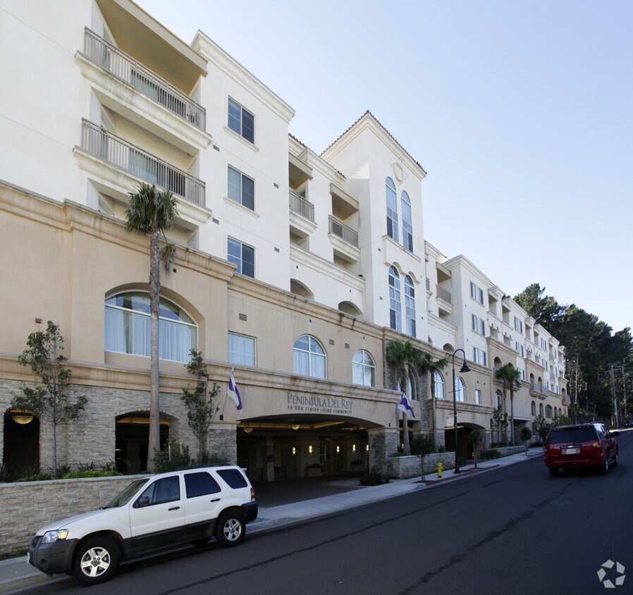
Discover Peninsula Del Ray. This property is situated on Pierce St. in Daly City. The professional leasing team is excited to help you find your perfect new place. Drop by the leasing office to see available floor plans and see Peninsula Del Ray.
Peninsula Del Ray is an apartment community located in San Mateo County and the 94015 ZIP Code. This area is served by the Jefferson Elementary attendance zone.
Saint Francis is a suburban neighborhood known for its large single-family houses, but there is a variety of mid-rise and luxury apartments available for rent as well. Since Saint Frances is about 10 miles south of San Francisco, the neighborhood is a popular area for commuters. Residents have access to Highway 35 and 1 and Interstate 280 so traveling into the city is easy. The neighborhood is family friendly with excellent schools and access to plenty of green space and amenities. Along with its own stores and restaurants, Saint Frances is about two miles away from several large shopping centers like Serra Center and Serramonte Center, a large mall. Golf courses like Lake Merced Golf Club are just a short drive away while waterfront parks like Mussel Rock Park offer picturesque views of the Pacific Ocean, low-key beaches, and hiking trails.
Learn more about living in St Francis| Colleges & Universities | Distance | ||
|---|---|---|---|
| Colleges & Universities | Distance | ||
| Drive: | 7 min | 3.5 mi | |
| Drive: | 7 min | 3.9 mi | |
| Drive: | 11 min | 5.8 mi | |
| Drive: | 13 min | 6.1 mi |


Transportation options available in Daly City include Colma Station, located 0.6 mile from Peninsula Del Ray. Peninsula Del Ray is near San Francisco International, located 8.8 miles or 15 minutes away, and Metro Oakland International, located 28.5 miles or 40 minutes away.
| Transit / Subway | Distance | ||
|---|---|---|---|
| Transit / Subway | Distance | ||
|
|
Walk: | 12 min | 0.6 mi |
|
|
Drive: | 4 min | 1.9 mi |
|
|
Drive: | 4 min | 2.5 mi |
| Drive: | 5 min | 3.0 mi | |
|
|
Drive: | 5 min | 3.0 mi |
| Commuter Rail | Distance | ||
|---|---|---|---|
| Commuter Rail | Distance | ||
| Drive: | 11 min | 5.9 mi | |
| Drive: | 9 min | 6.3 mi | |
| Drive: | 11 min | 7.9 mi | |
| Drive: | 11 min | 8.9 mi | |
| Drive: | 11 min | 8.9 mi |
| Airports | Distance | ||
|---|---|---|---|
| Airports | Distance | ||
|
San Francisco International
|
Drive: | 15 min | 8.8 mi |
|
Metro Oakland International
|
Drive: | 40 min | 28.5 mi |
Time and distance from Peninsula Del Ray.
| Shopping Centers | Distance | ||
|---|---|---|---|
| Shopping Centers | Distance | ||
| Walk: | 14 min | 0.7 mi | |
| Walk: | 15 min | 0.8 mi | |
| Drive: | 4 min | 1.4 mi |
| Parks and Recreation | Distance | ||
|---|---|---|---|
| Parks and Recreation | Distance | ||
|
San Francisco State Univ. Observatory
|
Drive: | 9 min | 4.2 mi |
|
Charles F. Hagar Planetarium
|
Drive: | 9 min | 4.2 mi |
|
San Bruno Mountain State Park
|
Drive: | 12 min | 4.6 mi |
|
San Francisco Zoo
|
Drive: | 10 min | 5.2 mi |
|
Candlestick Point State Recreation Area
|
Drive: | 15 min | 8.7 mi |
| Hospitals | Distance | ||
|---|---|---|---|
| Hospitals | Distance | ||
| Walk: | 9 min | 0.5 mi | |
| Drive: | 6 min | 3.3 mi | |
| Drive: | 8 min | 5.6 mi |
| Military Bases | Distance | ||
|---|---|---|---|
| Military Bases | Distance | ||
| Drive: | 20 min | 8.1 mi | |
| Drive: | 21 min | 9.4 mi |
What Are Walk Score®, Transit Score®, and Bike Score® Ratings?
Walk Score® measures the walkability of any address. Transit Score® measures access to public transit. Bike Score® measures the bikeability of any address.
What is a Sound Score Rating?
A Sound Score Rating aggregates noise caused by vehicle traffic, airplane traffic and local sources

165 Pierce St
Daly City, CA 94015


