
Williamsburg
200 W Galbraith Rd,
Cincinnati, OH 45215
$850 - $2,619
Studio - 3 Beds
Bedrooms
1 - 2 bd
Bathrooms
1 ba
Square Feet
660 - 800 sq ft
Riverstone Court has a great East side location and has been completely transformed. Each unit features fully renovated kitchens and bathroom with new appliances, new carpet through-out, walk-in closets and other ample storage spaces, free heat, off-street parking, and is wired for high-speed cable and internet.
Riverstone Court has a great East side location and has been completely transformed. Each unit features fully renovated kitchens and bathroom with new appliances, new carpet through-out, walk-in closets and other ample storage spaces, free heat, off-street parking, and is wired for high-speed cable and internet.
Pavilion Pointe is an apartment community located in Hamilton County and the 45230 ZIP Code. This area is served by the Cincinnati Public Schools attendance zone.
As one of the oldest cities in the United States west of the Appalachians, Cincinnati offers residents contemporary urban living in a historic, distinctive setting. One of the oldest cities in the US houses an influential youth culture. Students, professionals, artists, and musicians of all walks of life come to the southwest corner of Ohio to live and work. College and professional sports are wildly popular, with the Bearcats of the University of Cincinnati, the Reds, and the Bengals enjoying huge fan bases in their hometown.
Renters and visitors alike will delight in attractions like the Cincinnati Art Museum, the Newport Aquarium, and the city’s iconic zoo. The annual Oktoberfest is one of the biggest celebrations of its kind outside of Munich, drawing thousands to the streets to celebrate the city’s German heritage.
Learn more about living in Cincinnati| Colleges & Universities | Distance | ||
|---|---|---|---|
| Colleges & Universities | Distance | ||
| Drive: | 15 min | 6.4 mi | |
| Drive: | 17 min | 8.4 mi | |
| Drive: | 17 min | 8.5 mi | |
| Drive: | 18 min | 8.7 mi |


Transportation options available in Cincinnati include Richter & Phillips Station, 6Th & Main, located 8.8 miles from Pavilion Pointe. Pavilion Pointe is near Cincinnati/Northern Kentucky International, located 21.1 miles or 38 minutes away.
| Transit / Subway | Distance | ||
|---|---|---|---|
| Transit / Subway | Distance | ||
| Drive: | 16 min | 8.8 mi | |
| Drive: | 16 min | 8.9 mi | |
| Drive: | 16 min | 8.9 mi | |
| Drive: | 16 min | 8.9 mi | |
| Drive: | 17 min | 8.9 mi |
| Commuter Rail | Distance | ||
|---|---|---|---|
| Commuter Rail | Distance | ||
|
|
Drive: | 20 min | 10.8 mi |
| Airports | Distance | ||
|---|---|---|---|
| Airports | Distance | ||
|
Cincinnati/Northern Kentucky International
|
Drive: | 38 min | 21.1 mi |
Time and distance from Pavilion Pointe.
| Shopping Centers | Distance | ||
|---|---|---|---|
| Shopping Centers | Distance | ||
| Walk: | 20 min | 1.1 mi | |
| Walk: | 21 min | 1.1 mi | |
| Drive: | 7 min | 3.8 mi |
| Parks and Recreation | Distance | ||
|---|---|---|---|
| Parks and Recreation | Distance | ||
|
Stanbery Park
|
Walk: | 15 min | 0.8 mi |
|
Otto Armleder Park
|
Drive: | 5 min | 2.5 mi |
|
Ault Park
|
Drive: | 8 min | 3.7 mi |
|
Cincinnati Observatory
|
Drive: | 8 min | 3.9 mi |
|
California Woods Nature Preserve
|
Drive: | 11 min | 4.8 mi |
| Hospitals | Distance | ||
|---|---|---|---|
| Hospitals | Distance | ||
| Drive: | 8 min | 3.4 mi | |
| Drive: | 16 min | 8.1 mi | |
| Drive: | 17 min | 8.3 mi |
| Military Bases | Distance | ||
|---|---|---|---|
| Military Bases | Distance | ||
| Drive: | 77 min | 58.2 mi | |
| Drive: | 83 min | 63.2 mi | |
| Drive: | 86 min | 66.5 mi |
What Are Walk Score®, Transit Score®, and Bike Score® Ratings?
Walk Score® measures the walkability of any address. Transit Score® measures access to public transit. Bike Score® measures the bikeability of any address.
What is a Sound Score Rating?
A Sound Score Rating aggregates noise caused by vehicle traffic, airplane traffic and local sources

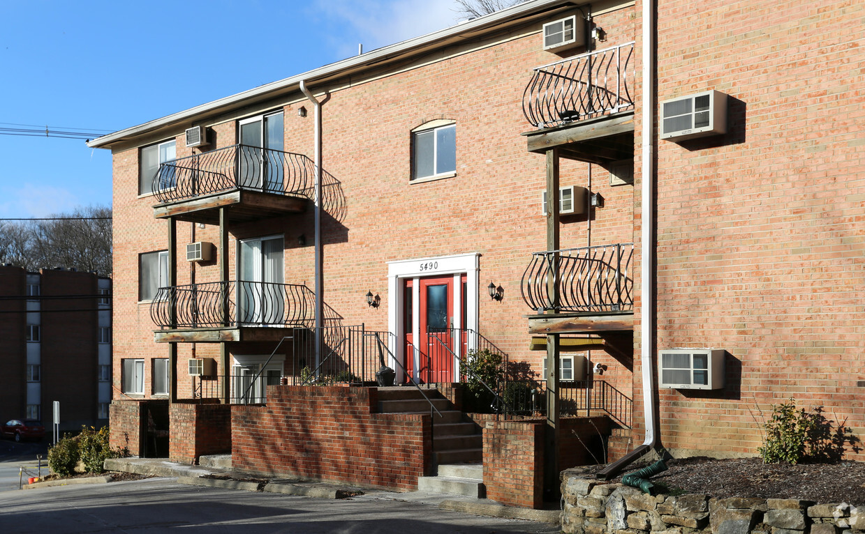
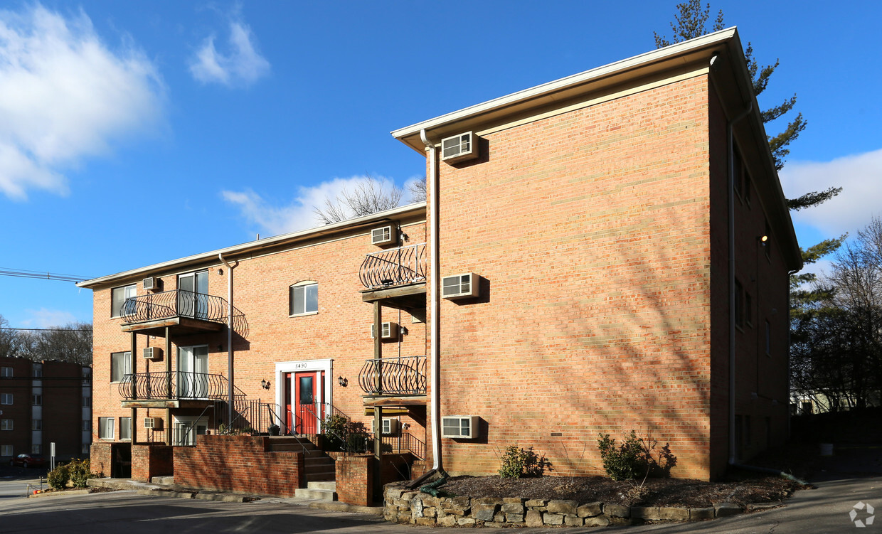
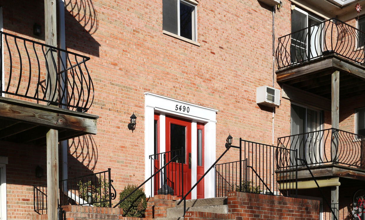
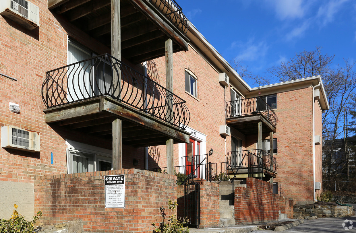
5490-5500 Beechmont Ave
Cincinnati, OH 45230


