
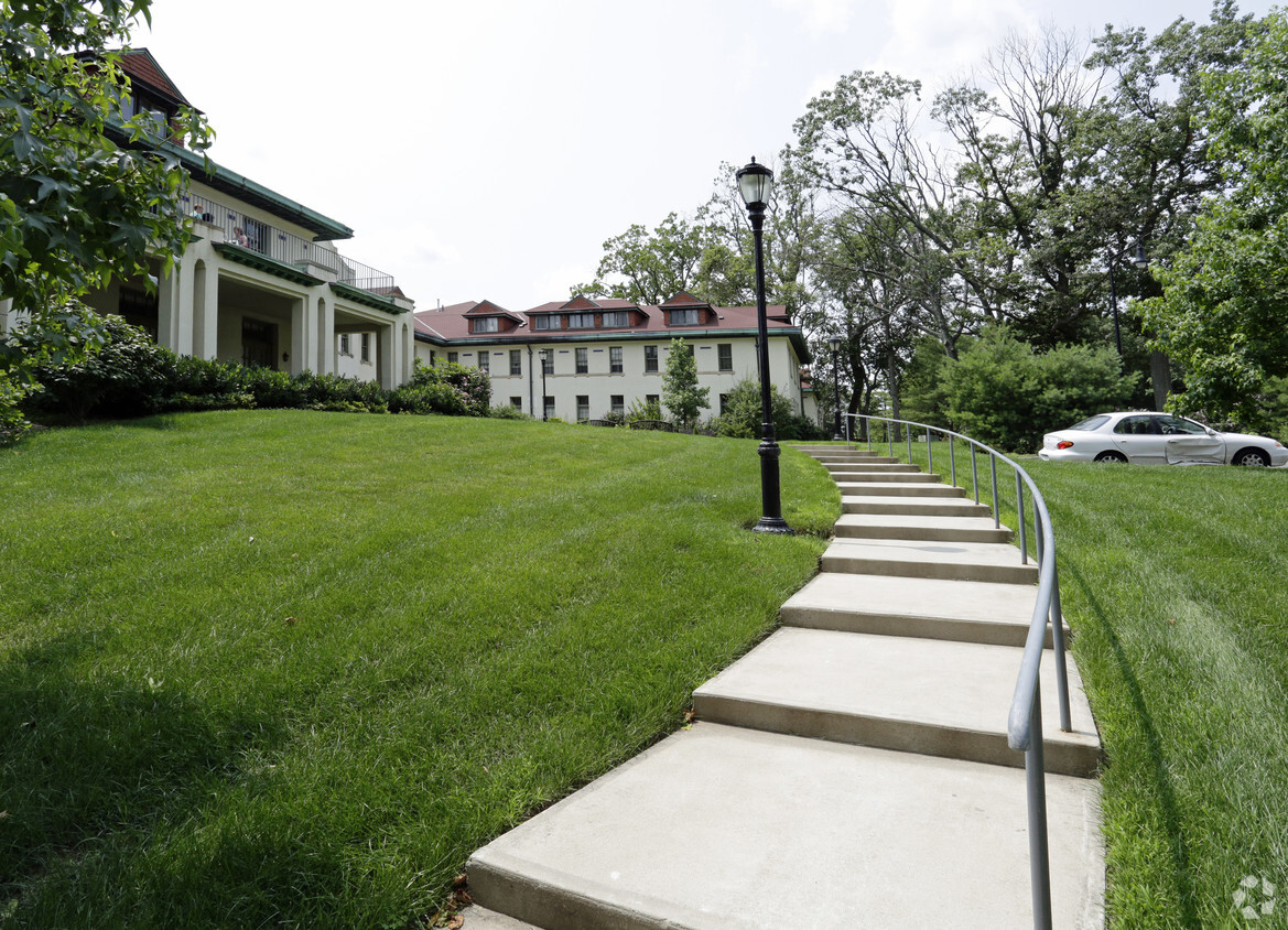
Seaview Apartments
520-550 Seaview Ave,
Staten Island, NY 10305
Call for Rent
2 Beds

Bedrooms
1 bd
Bathrooms
1 ba
Square Feet
577 - 863 sq ft
Park Lane at Sea View sets a new standard in independent living for seniors 62+. Set in a lushly landscaped, park-like setting, Park Lane features two beautiful and meticulously restored landmark buildings boasting every modern amenity and convenience. Our unique program allows residents to customize their lifestyles, adding the services they desire for unparalleled convenience. Best of all, Park Lane offers all of this at pricing that is within your reach. Call today for availbility!
Park Lane at Sea View is an apartment community located in Richmond County and the 10314 ZIP Code. This area is served by the New York City Geographic District #31 attendance zone.
Unique Features
Fitness Center
Laundry Facilities
Elevator
Clubhouse
Air Conditioning
Dishwasher
High Speed Internet Access
Walk-In Closets
Microwave
Refrigerator
Tub/Shower
Stainless Steel Appliances
Staten Island combines suburban comfort with convenient Manhattan access, making it ideal for renters who appreciate a slower pace while staying connected to city life. As the "Borough of Parks," Staten Island features over 12,300 acres of protected parkland and more than 170 parks, offering residents plenty of outdoor recreation opportunities. Housing options span from historic Victorian homes in St. George and Stapleton to contemporary apartment communities in Great Kills and New Dorp. Average rents range from $1,563 for studios to $2,335 for two-bedroom units, with moderate year-over-year increases between 1.8% to 3.2% for most unit types.
Each neighborhood brings its own character to the borough. The North Shore, especially St. George, serves as Staten Island's cultural center with landmarks like the beautifully restored St. George Theatre, Empire Outlets shopping complex, and the Staten Island Ferry terminal, offering free 24/7 service to Manhattan.
Learn more about living in Staten Island| Colleges & Universities | Distance | ||
|---|---|---|---|
| Colleges & Universities | Distance | ||
| Drive: | 11 min | 2.4 mi | |
| Drive: | 13 min | 4.4 mi | |
| Drive: | 19 min | 8.3 mi | |
| Drive: | 22 min | 10.0 mi |


Transportation options available in Staten Island include 8Th Street Light Rail Station, located 6.3 miles from Park Lane at Sea View. Park Lane at Sea View is near Newark Liberty International, located 14.6 miles or 26 minutes away, and LaGuardia, located 24.4 miles or 44 minutes away.
| Transit / Subway | Distance | ||
|---|---|---|---|
| Transit / Subway | Distance | ||
| Drive: | 14 min | 6.3 mi | |
|
|
Drive: | 16 min | 7.5 mi |
|
|
Drive: | 17 min | 8.0 mi |
|
|
Drive: | 17 min | 8.3 mi |
|
|
Drive: | 17 min | 8.4 mi |
| Commuter Rail | Distance | ||
|---|---|---|---|
| Commuter Rail | Distance | ||
|
|
Drive: | 9 min | 2.7 mi |
|
|
Drive: | 10 min | 3.1 mi |
|
|
Drive: | 11 min | 3.2 mi |
|
|
Drive: | 13 min | 3.6 mi |
|
|
Drive: | 12 min | 3.8 mi |
| Airports | Distance | ||
|---|---|---|---|
| Airports | Distance | ||
|
Newark Liberty International
|
Drive: | 26 min | 14.6 mi |
|
LaGuardia
|
Drive: | 44 min | 24.4 mi |
Time and distance from Park Lane at Sea View.
| Shopping Centers | Distance | ||
|---|---|---|---|
| Shopping Centers | Distance | ||
| Drive: | 8 min | 2.5 mi | |
| Drive: | 9 min | 2.6 mi | |
| Drive: | 10 min | 2.8 mi |
| Parks and Recreation | Distance | ||
|---|---|---|---|
| Parks and Recreation | Distance | ||
|
Greenbelt Nature Center
|
Walk: | 15 min | 0.8 mi |
|
Greenbelt
|
Drive: | 6 min | 1.7 mi |
|
Blood Root Valley
|
Drive: | 7 min | 1.7 mi |
|
High Rock Park
|
Drive: | 7 min | 2.0 mi |
|
Astrophysical Observatory at College of Staten Island
|
Drive: | 11 min | 2.3 mi |
| Hospitals | Distance | ||
|---|---|---|---|
| Hospitals | Distance | ||
| Drive: | 15 min | 4.9 mi | |
| Drive: | 14 min | 5.1 mi | |
| Drive: | 16 min | 5.4 mi |
| Military Bases | Distance | ||
|---|---|---|---|
| Military Bases | Distance | ||
| Drive: | 17 min | 6.0 mi | |
| Drive: | 18 min | 8.4 mi |
What Are Walk Score®, Transit Score®, and Bike Score® Ratings?
Walk Score® measures the walkability of any address. Transit Score® measures access to public transit. Bike Score® measures the bikeability of any address.
What is a Sound Score Rating?
A Sound Score Rating aggregates noise caused by vehicle traffic, airplane traffic and local sources
460N Brielle Ave
Staten Island, NY 10314


