
Hue39
3909 San Fernando Rd,
Glendale, CA 91204
$2,495 - $3,500
1-2 Beds

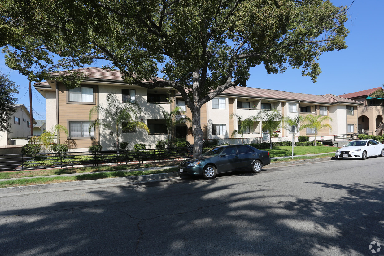
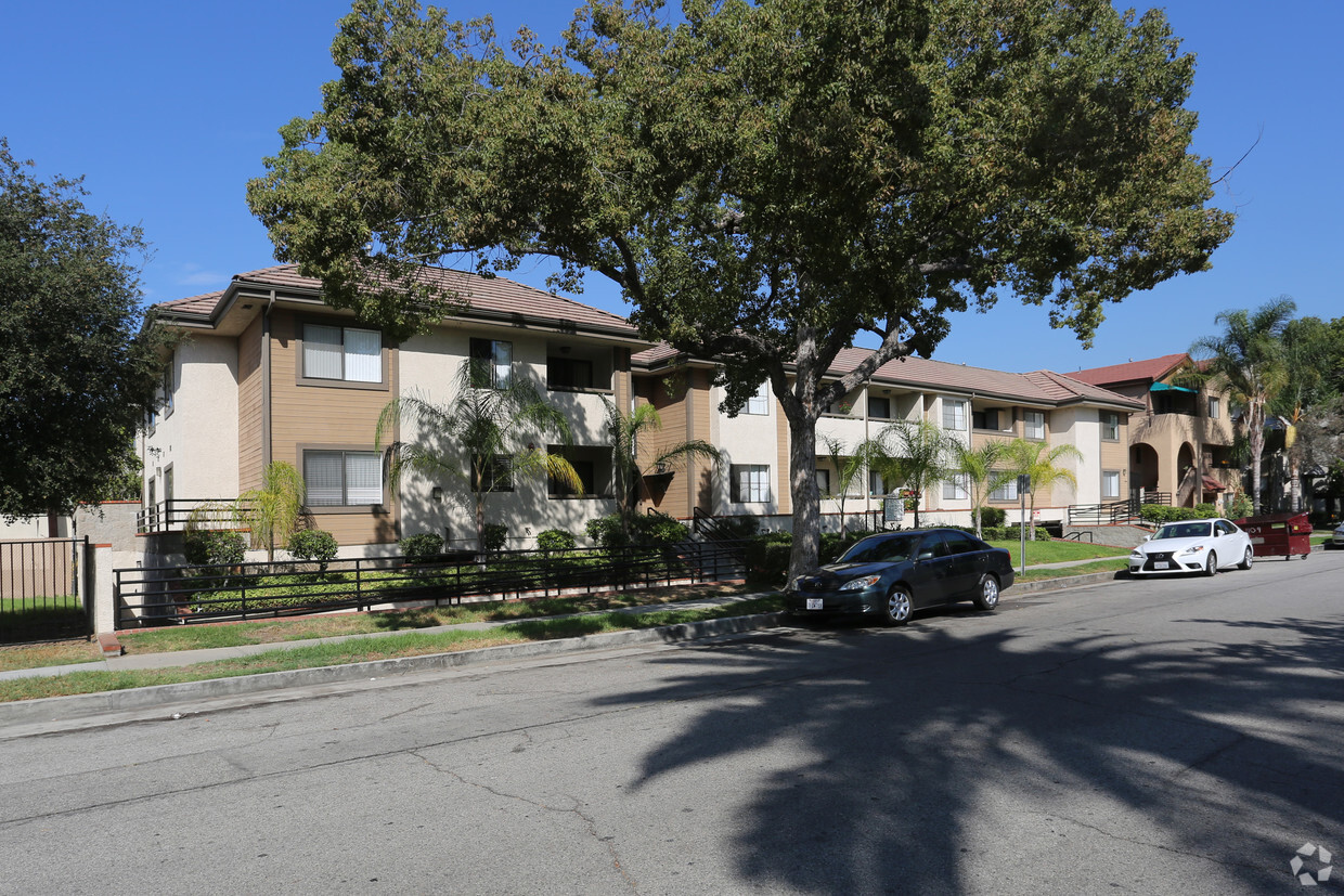

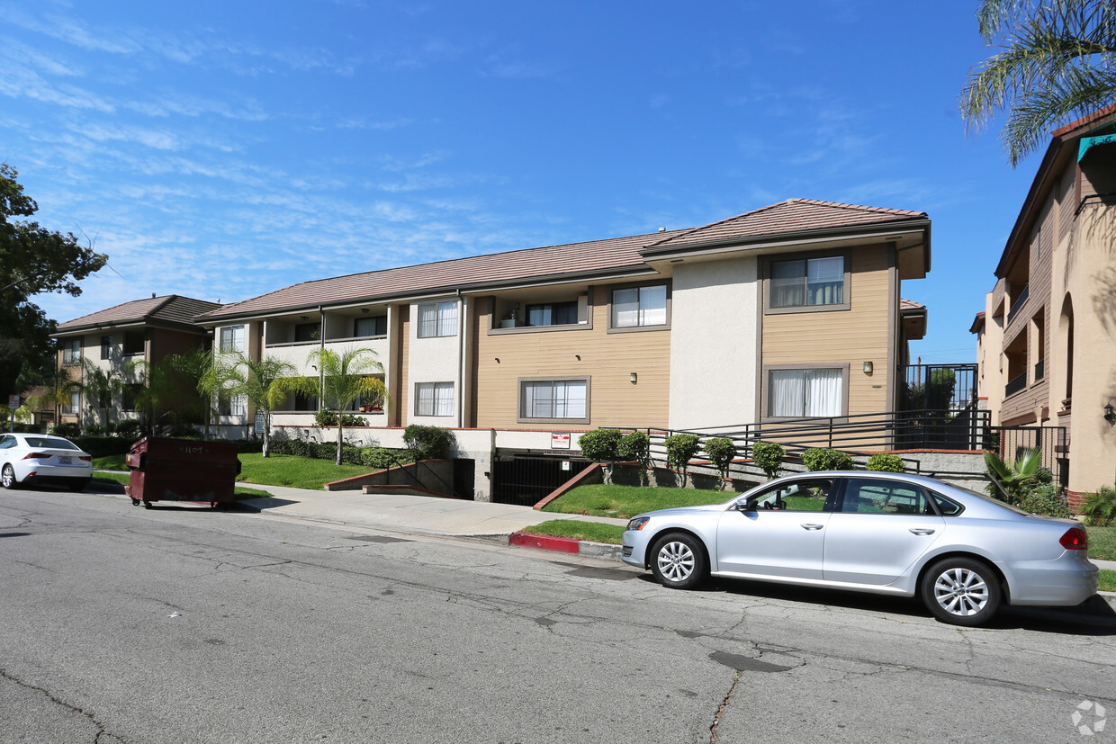
At Park Crest, experience great living. In a convenient location on San Rafael St. in Glendale's 91202 Zip code, local residents can easily connect with a number of entertainment options found in the surrounding area. Be sure to check out the current floorplan options. From amenities to availability, the team of leasing professionals will be ready to help you find your perfect floorplan option. At Park Crest you're right at home. Stop by the community today.
Park Crest is an apartment community located in Los Angeles County and the 91202 ZIP Code. This area is served by the Glendale Unified School District attendance zone.
If you’re looking for a central location in the Los Angeles area, Verdugo Viejo is an excellent choice. This small community is located between Burbank and Downtown Glendale, giving residents easy access to plenty of dining, shopping, and entertainment options. Verdugo Viejo is also convenient to popular parks and hiking areas including the iconic Griffith Park and Verdugo Mountains Open Space Preserve. Access to Highway 134 and Interstate 5 allows residents to travel across Southern California with ease. Verdugo Viejo also has great schools and several restaurants and shops. The neighborhood has a variety of rental options including modern apartments, California bungalows, modern townhomes, and luxury condos.
Learn more about living in Verdugo ViejoCompare neighborhood and city base rent averages by bedroom.
| Verdugo Viejo | Glendale, CA | |
|---|---|---|
| Studio | $2,031 | $2,022 |
| 1 Bedroom | $2,140 | $2,114 |
| 2 Bedrooms | $2,833 | $2,683 |
| 3 Bedrooms | $3,516 | $3,450 |
| Colleges & Universities | Distance | ||
|---|---|---|---|
| Colleges & Universities | Distance | ||
| Drive: | 6 min | 2.2 mi | |
| Drive: | 10 min | 4.8 mi | |
| Drive: | 7 min | 4.8 mi | |
| Drive: | 16 min | 8.8 mi |


Transportation options available in Glendale include Vermont/Sunset Station, located 6.3 miles from Park Crest. Park Crest is near Bob Hope, located 9.7 miles or 15 minutes away, and Los Angeles International, located 24.9 miles or 38 minutes away.
| Transit / Subway | Distance | ||
|---|---|---|---|
| Transit / Subway | Distance | ||
|
|
Drive: | 10 min | 6.3 mi |
|
|
Drive: | 14 min | 6.8 mi |
|
|
Drive: | 11 min | 6.9 mi |
|
|
Drive: | 11 min | 6.9 mi |
|
|
Drive: | 14 min | 7.8 mi |
| Commuter Rail | Distance | ||
|---|---|---|---|
| Commuter Rail | Distance | ||
|
|
Drive: | 6 min | 3.0 mi |
|
|
Drive: | 7 min | 4.2 mi |
|
|
Drive: | 11 min | 6.9 mi |
| Drive: | 10 min | 7.5 mi | |
|
|
Drive: | 16 min | 9.8 mi |
| Airports | Distance | ||
|---|---|---|---|
| Airports | Distance | ||
|
Bob Hope
|
Drive: | 15 min | 9.7 mi |
|
Los Angeles International
|
Drive: | 38 min | 24.9 mi |
Scores provided by
Traffic
-Airport
-Businesses
-Scores provided by
HowLoud What is a Sound Score Rating? A Sound Score Rating aggregates noise caused by vehicle traffic, airplane traffic and local sources. How It WorksTime and distance from Park Crest.
| Shopping Centers | Distance | ||
|---|---|---|---|
| Shopping Centers | Distance | ||
| Walk: | 5 min | 0.3 mi | |
| Walk: | 6 min | 0.3 mi | |
| Walk: | 9 min | 0.5 mi |
| Parks and Recreation | Distance | ||
|---|---|---|---|
| Parks and Recreation | Distance | ||
|
Los Angeles Zoo
|
Drive: | 14 min | 4.5 mi |
|
Bird Sanctuary
|
Drive: | 11 min | 5.8 mi |
|
Marsh Park
|
Drive: | 10 min | 6.1 mi |
|
Griffith Observatory
|
Drive: | 15 min | 7.0 mi |
|
Griffith Park
|
Drive: | 24 min | 9.3 mi |
| Hospitals | Distance | ||
|---|---|---|---|
| Hospitals | Distance | ||
| Drive: | 6 min | 2.7 mi | |
| Drive: | 7 min | 3.0 mi | |
| Drive: | 6 min | 4.5 mi |
| Military Bases | Distance | ||
|---|---|---|---|
| Military Bases | Distance | ||
| Drive: | 35 min | 26.4 mi | |
| Drive: | 47 min | 34.3 mi | |
| Drive: | 49 min | 37.2 mi |
Pets Allowed Fitness Center Pool Maintenance on site High-Speed Internet Controlled Access EV Charging
What Are Walk Score®, Transit Score®, and Bike Score® Ratings?
Walk Score® measures the walkability of any address. Transit Score® measures access to public transit. Bike Score® measures the bikeability of any address.
What is a Sound Score Rating?
A Sound Score Rating aggregates noise caused by vehicle traffic, airplane traffic and local sources.
1117 San Rafael St
Glendale, CA 91202


