
Adara
888 N 4th St,
Phoenix, AZ 85004
$740 - $3,000
Studio - 4 Beds
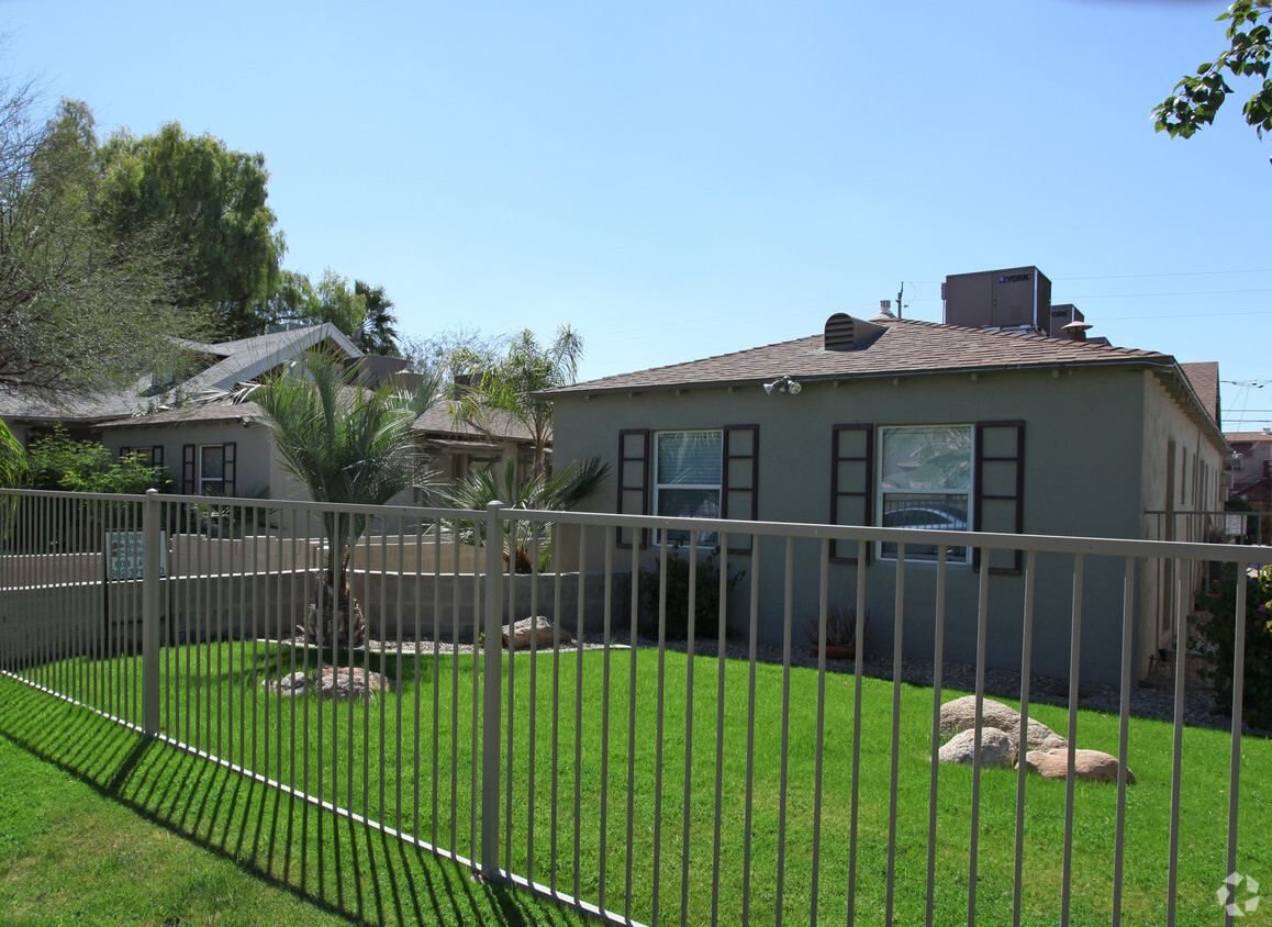
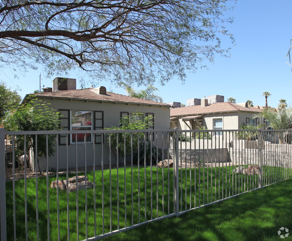

Experience Phoenix living at Palo Verde Apartments. The 636 N 4th Ave location in the Warehouse District neighborhood of Phoenix is convenient to everything. From pricing to features, the professional leasing team is ready to help you find the perfect apartment. Give us a call now to learn more about our community.
Palo Verde Apartments is an apartment community located in Maricopa County and the 85003 ZIP Code. This area is served by the Phoenix Union High attendance zone.
A major art hub in Phoenix, Roosevelt is alive with revitalized parks, distinct shops and local small businesses, topnotch restaurants, and Craftsman-style architecture.
Roosevelt Row, or “RoRo”, is a very walkable arts district filled with impressive sculptures, colorful murals, and art exhibits. During the first Friday of every month, locals are given the opportunity to immerse themselves in culture and art with the First Friday Art Walk.
Residents are encouraged to stroll through the studios and view the newest collections, sip cocktails, and mingle with the community artists.
When it comes to food on RoRo, the locals rave about the Dressing Room and its international street fare. The Japanese Friendship Garden is a serene, park-like setting that includes a koi pond, cascading waterfall, and tea garden – it’s the ideal place for meditation. The Valley Metro Rail connects residents to the airport’s sky train, zoo, and Desert Botanical Garden.
Learn more about living in Roosevelt RowCompare neighborhood and city base rent averages by bedroom.
| Roosevelt Row | Phoenix, AZ | |
|---|---|---|
| Studio | $1,478 | $1,108 |
| 1 Bedroom | $1,830 | $1,301 |
| 2 Bedrooms | $2,504 | $1,560 |
| 3 Bedrooms | $3,576 | $2,058 |
| Colleges & Universities | Distance | ||
|---|---|---|---|
| Colleges & Universities | Distance | ||
| Walk: | 15 min | 0.8 mi | |
| Drive: | 3 min | 1.4 mi | |
| Drive: | 6 min | 2.5 mi | |
| Drive: | 9 min | 6.3 mi |


Transportation options available in Phoenix include Roosevelt/Central Ave, located 0.5 mile from Palo Verde Apartments. Palo Verde Apartments is near Phoenix Sky Harbor International, located 7.1 miles or 12 minutes away, and Phoenix-Mesa Gateway, located 33.9 miles or 45 minutes away.
| Transit / Subway | Distance | ||
|---|---|---|---|
| Transit / Subway | Distance | ||
|
|
Walk: | 10 min | 0.5 mi |
|
|
Walk: | 10 min | 0.6 mi |
|
|
Walk: | 11 min | 0.6 mi |
|
|
Walk: | 15 min | 0.8 mi |
|
|
Drive: | 3 min | 1.1 mi |
| Commuter Rail | Distance | ||
|---|---|---|---|
| Commuter Rail | Distance | ||
|
|
Drive: | 45 min | 35.0 mi |
| Airports | Distance | ||
|---|---|---|---|
| Airports | Distance | ||
|
Phoenix Sky Harbor International
|
Drive: | 12 min | 7.1 mi |
|
Phoenix-Mesa Gateway
|
Drive: | 45 min | 33.9 mi |
Time and distance from Palo Verde Apartments.
| Shopping Centers | Distance | ||
|---|---|---|---|
| Shopping Centers | Distance | ||
| Walk: | 10 min | 0.6 mi | |
| Walk: | 15 min | 0.8 mi | |
| Walk: | 16 min | 0.9 mi |
| Parks and Recreation | Distance | ||
|---|---|---|---|
| Parks and Recreation | Distance | ||
|
Japanese Friendship Garden
|
Walk: | 8 min | 0.4 mi |
|
Civic Space Park
|
Walk: | 9 min | 0.5 mi |
|
Children's Museum of Phoenix
|
Drive: | 3 min | 1.3 mi |
|
Arizona Science Center
|
Drive: | 3 min | 1.5 mi |
|
Margaret T. Hance Park
|
Drive: | 4 min | 1.9 mi |
| Hospitals | Distance | ||
|---|---|---|---|
| Hospitals | Distance | ||
| Drive: | 3 min | 1.7 mi | |
| Drive: | 5 min | 2.1 mi | |
| Drive: | 4 min | 2.1 mi |
| Military Bases | Distance | ||
|---|---|---|---|
| Military Bases | Distance | ||
| Drive: | 13 min | 6.1 mi | |
| Drive: | 29 min | 21.1 mi | |
| Drive: | 97 min | 73.6 mi |
What Are Walk Score®, Transit Score®, and Bike Score® Ratings?
Walk Score® measures the walkability of any address. Transit Score® measures access to public transit. Bike Score® measures the bikeability of any address.
What is a Sound Score Rating?
A Sound Score Rating aggregates noise caused by vehicle traffic, airplane traffic and local sources

636 N 4th Ave
Phoenix, AZ 85003


