
The Bower
404 E Olympic Dr,
Pflugerville, TX 78660
$1,333 - $2,639 Total Monthly Price
1-3 Beds

Bedrooms
1 - 2 bd
Bathrooms
1 - 2 ba
Square Feet
556 - 1,090 sq ft

Experience carefree luxury living at north Austin’s newest apartment community. Palo Alto offers one, two, and three-bedroom, pet-friendly apartment homes for rent in the heart of Austin’s tech corridor. Perfectly situated near top employers like Dell, Apple, IBM, and Vrbo, Palo Alto’s location makes getting to work easy. Our community offers the best of both worlds – an outdoor lifestyle with city convenience. Downtown Austin is only 15 miles away, and Pflugerville’s abundance of parks and trails are right outside your door. Modern finishes and resort-quality amenities await you at Palo Alto.
Oxford at Palo Alto is an apartment community located in Travis County and the 78660 ZIP Code. This area is served by the Pflugerville Independent School District attendance zone.
Pool
Fitness Center
Playground
Business Center
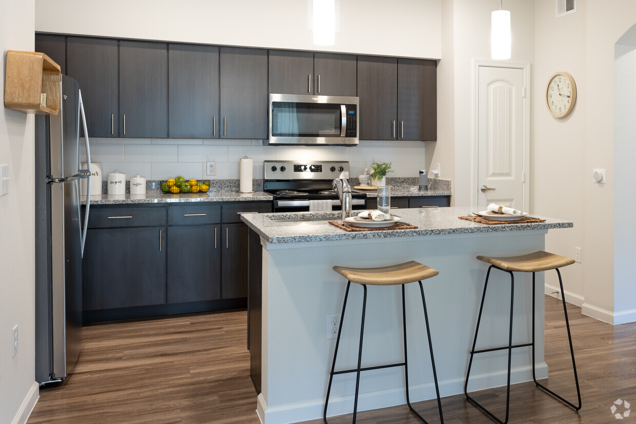
Granite Countertops
Crown Molding
Stainless Steel Appliances
Security System
Pflugerville sits 14 miles northeast of Austin, carrying a distinct identity shaped by the German settlers who farmed this land starting in 1849. Named after Henry Pfluger Sr., who arrived from Germany following the revolutions of 1848, the city has grown from a rural farming community into one of Travis County's most established suburban destinations. Today, major employers like Amazon's distribution facility anchor the local economy, and the Pflugerville Independent School District serves the broader community through multiple campuses. State Highway 130 and State Highway 45 keep downtown Austin within easy reach without putting residents in the middle of the city's bustle.
The housing landscape here spans a wide range, from spacious townhomes and single-story rentals to modern apartment communities with resort-style amenities. Renters looking for more room to breathe will find generous floor plans compared to what closer-in Austin neighborhoods typically offer.
Learn more about living in Pflugerville| Colleges & Universities | Distance | ||
|---|---|---|---|
| Colleges & Universities | Distance | ||
| Drive: | 9 min | 4.4 mi | |
| Drive: | 11 min | 4.8 mi | |
| Drive: | 19 min | 12.4 mi | |
| Drive: | 26 min | 17.0 mi |


Transportation options available in Pflugerville include Howard Station, located 4.0 miles from Oxford at Palo Alto. Oxford at Palo Alto is near Austin-Bergstrom International, located 24.0 miles or 38 minutes away.
| Transit / Subway | Distance | ||
|---|---|---|---|
| Transit / Subway | Distance | ||
| Drive: | 8 min | 4.0 mi | |
| Drive: | 12 min | 6.0 mi | |
| Drive: | 13 min | 6.3 mi | |
| Drive: | 15 min | 8.6 mi | |
| Drive: | 15 min | 9.5 mi |
| Commuter Rail | Distance | ||
|---|---|---|---|
| Commuter Rail | Distance | ||
|
|
Drive: | 23 min | 15.2 mi |
|
|
Drive: | 31 min | 20.9 mi |
| Airports | Distance | ||
|---|---|---|---|
| Airports | Distance | ||
|
Austin-Bergstrom International
|
Drive: | 38 min | 24.0 mi |
Scores provided by
Traffic
ActiveAirport
CalmBusinesses
CalmScores provided by
HowLoud What is a Sound Score Rating? A Sound Score Rating aggregates noise caused by vehicle traffic, airplane traffic and local sources. How It WorksTime and distance from Oxford at Palo Alto.
| Shopping Centers | Distance | ||
|---|---|---|---|
| Shopping Centers | Distance | ||
| Walk: | 4 min | 0.2 mi | |
| Walk: | 7 min | 0.4 mi | |
| Drive: | 3 min | 1.3 mi |
| Parks and Recreation | Distance | ||
|---|---|---|---|
| Parks and Recreation | Distance | ||
|
Walnut Creek Park
|
Drive: | 7 min | 3.6 mi |
|
Copperfield Nature Trail and Park
|
Drive: | 7 min | 3.9 mi |
|
Jourdan-Bachman Pioneer Farms
|
Drive: | 11 min | 5.4 mi |
|
Balcones District Park
|
Drive: | 12 min | 6.2 mi |
|
The Stephen F. Austin Planetarium
|
Drive: | 13 min | 7.3 mi |
| Hospitals | Distance | ||
|---|---|---|---|
| Hospitals | Distance | ||
| Drive: | 10 min | 5.4 mi | |
| Drive: | 10 min | 5.6 mi | |
| Drive: | 14 min | 8.1 mi |
| Military Bases | Distance | ||
|---|---|---|---|
| Military Bases | Distance | ||
| Drive: | 78 min | 62.1 mi | |
| Drive: | 97 min | 79.3 mi |
Pets Allowed Fitness Center Pool Maintenance on site Gated Playground Yard
What Are Walk Score®, Transit Score®, and Bike Score® Ratings?
Walk Score® measures the walkability of any address. Transit Score® measures access to public transit. Bike Score® measures the bikeability of any address.
What is a Sound Score Rating?
A Sound Score Rating aggregates noise caused by vehicle traffic, airplane traffic and local sources.
1601 S Heatherwilde Blvd
Pflugerville, TX 78660


