
The Juniper
1081 Juniper St NE,
Atlanta, GA 30309
$1,905 - $18,810
Studio - 3 Beds
Originally built in 1927 as Wynne's Apartment Hotel, Otto's Apartment Hotel is re-emerging as a modern flexible living concept. A combination of your favorite boutique hotel and modern apartment community. Otto's offers a variety of housing accommodations: from fully furnished 4 to 12 month leases for those new to Atlanta or here for a work project, to full-time traditional rental housing. Along with the Apartment Hotel, Otto's includes our chef-driven restaurant concept, cafe/bar and event space, courtyard patio and The Shops at Otto's, a 30,000 SF commercial building made up of local retailers and creative space. A stone's throw from the Eastside Atlanta places you know and love... The Beltline, Manuel's Tavern, Plaza Theatre, Freedom Park, Clermont Hotel, Ponce City Market and surrounded by the bustling districts of Virginia Highland, Atkins Park, Inman Park, and Little 5 Points. This location can't be beat! Reach out to schedule an appointment today!
Otto's Apartment Hotel is an apartment community located in Fulton County and the 30306 ZIP Code. This area is served by the Atlanta Public Schools attendance zone.
Fitness Center
Laundry Facilities
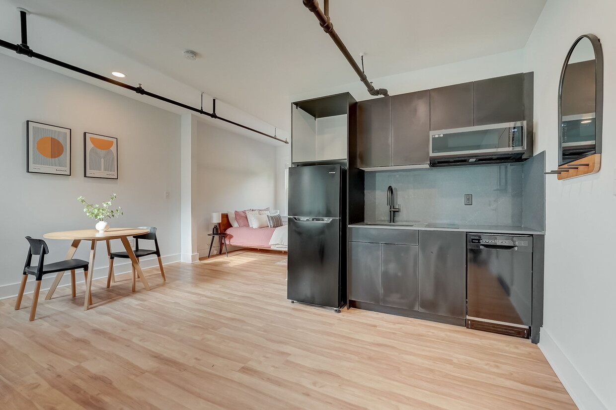
Furnished Units Available
Roof Terrace
Controlled Access
Recycling
Community-Wide WiFi
Key Fob Entry
Air Conditioning
Dishwasher
Loft Layout
High Speed Internet Access
Hardwood Floors
Walk-In Closets
Microwave
Refrigerator
Poncey-Highland is one of Atlanta’s trendiest neighborhoods revered for its central location and abundant amenities. The neighborhood received its name for its proximity to the intersection of Ponce de Leon and North Highland Avenues during the 1970s. Today, Poncey-Highland is encircled by several equally popular neighborhoods: the historic Old Fourth Ward, Virginia-Highland, Inman Park, and Little Five Points. The neighborhood is also just two miles from Downtown Atlanta, which is home to some of the city’s most popular destinations including Centennial Park, Mercedes Benz Stadium, World of Coke, and more.
Poncey-Highland residents have easy access to a plethora of shopping and dining options like Ponce City Market, a historic factory building that has been transformed into a mixed-use hub housing a food hall, shops, and vibrant rooftop with a bar, carnival-style rides, mini-golf, and more.
Learn more about living in Poncey-Highland| Colleges & Universities | Distance | ||
|---|---|---|---|
| Colleges & Universities | Distance | ||
| Drive: | 4 min | 1.7 mi | |
| Drive: | 5 min | 2.9 mi | |
| Drive: | 8 min | 3.4 mi | |
| Drive: | 8 min | 3.4 mi |


Transportation options available in Atlanta include Inman Park/Reynoldstown, located 1.3 miles from Otto's Apartment Hotel. Otto's Apartment Hotel is near Hartsfield - Jackson Atlanta International, located 12.0 miles or 20 minutes away.
| Transit / Subway | Distance | ||
|---|---|---|---|
| Transit / Subway | Distance | ||
|
|
Drive: | 3 min | 1.3 mi |
|
|
Drive: | 3 min | 1.4 mi |
|
|
Drive: | 4 min | 2.2 mi |
|
|
Drive: | 4 min | 2.3 mi |
|
|
Drive: | 4 min | 2.4 mi |
| Commuter Rail | Distance | ||
|---|---|---|---|
| Commuter Rail | Distance | ||
|
|
Drive: | 9 min | 4.7 mi |
| Airports | Distance | ||
|---|---|---|---|
| Airports | Distance | ||
|
Hartsfield - Jackson Atlanta International
|
Drive: | 20 min | 12.0 mi |
Time and distance from Otto's Apartment Hotel.
| Shopping Centers | Distance | ||
|---|---|---|---|
| Shopping Centers | Distance | ||
| Walk: | 2 min | 0.0 mi | |
| Walk: | 2 min | 0.2 mi | |
| Walk: | 8 min | 0.4 mi |
| Parks and Recreation | Distance | ||
|---|---|---|---|
| Parks and Recreation | Distance | ||
|
Freedom Park Bird and Butterfly Garden
|
Walk: | 15 min | 0.8 mi |
|
Trees Atlanta TreeHouse
|
Drive: | 4 min | 1.7 mi |
|
Fernbank Museum of Natural History
|
Drive: | 4 min | 1.7 mi |
|
Atlanta BeltLine Eastside Trail
|
Drive: | 4 min | 1.9 mi |
|
Trees Atlanta
|
Drive: | 6 min | 2.6 mi |
| Hospitals | Distance | ||
|---|---|---|---|
| Hospitals | Distance | ||
| Drive: | 3 min | 1.6 mi | |
| Drive: | 4 min | 2.0 mi | |
| Drive: | 6 min | 3.1 mi |
| Military Bases | Distance | ||
|---|---|---|---|
| Military Bases | Distance | ||
| Drive: | 15 min | 7.7 mi | |
| Drive: | 24 min | 12.0 mi |

What Are Walk Score®, Transit Score®, and Bike Score® Ratings?
Walk Score® measures the walkability of any address. Transit Score® measures access to public transit. Bike Score® measures the bikeability of any address.
What is a Sound Score Rating?
A Sound Score Rating aggregates noise caused by vehicle traffic, airplane traffic and local sources

644 N Highland Ave NE
Atlanta, GA 30306


