
Anton 1101 Apartments
1101 N Fair Oaks Ave,
Sunnyvale, CA 94089
$3,050 - $4,900
Studio - 2 Beds
**NO CURRENT 1 OR 2 BEDROOM VACANCIES. PLEASE CONTACT US TO JOIN THE WAITLIST**
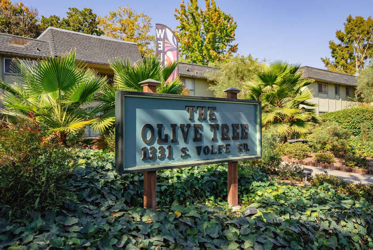
Olive Tree Apartments is an apartment community located in Santa Clara County and the 94087 ZIP Code. This area is served by the Cupertino Union attendance zone.
Pool
Fitness Center
Laundry Facilities
Property Manager on Site
Dishwasher
High Speed Internet Access
Refrigerator
Wi-Fi
Sunnyvale spans 22 square miles in the heart of Silicon Valley, offering residents a comfortable suburban setting with strong ties to the tech industry. Tree-lined streets connect neighborhoods to outdoor spaces like Baylands Park and Las Palmas Park. Downtown Sunnyvale continues to grow, featuring local dining options alongside an AMC Theatres complex and Whole Foods Market. Housing includes distinctive mid-century Eichler homes and apartment communities throughout the city. Current rental trends show one-bedroom apartments averaging $2,855 per month and two-bedrooms at $3,635, reflecting year-over-year increases of 3.3% and 4.5% respectively.
The city maintains strong connections to both its past and future. The Heritage District and Heritage Park Museum preserve Sunnyvale's agricultural history, while major tech companies maintain significant operations throughout the city. Two Caltrain stations and VTA light rail provide public transportation options for residents.
Learn more about living in SunnyvaleCompare neighborhood and city base rent averages by bedroom.
| Panama Park | Sunnyvale, CA | |
|---|---|---|
| Studio | - | $2,480 |
| 1 Bedroom | $2,217 | $2,912 |
| 2 Bedrooms | $2,638 | $3,700 |
| 3 Bedrooms | $3,061 | $4,617 |
| Colleges & Universities | Distance | ||
|---|---|---|---|
| Colleges & Universities | Distance | ||
| Drive: | 12 min | 4.8 mi | |
| Drive: | 10 min | 5.4 mi | |
| Drive: | 13 min | 6.9 mi | |
| Drive: | 15 min | 8.1 mi |


Transportation options available in Sunnyvale include Fair Oaks Station, located 4.0 miles from Olive Tree Apartments. Olive Tree Apartments is near Norman Y Mineta San Jose International, located 5.1 miles or 12 minutes away, and San Francisco International, located 30.1 miles or 40 minutes away.
| Transit / Subway | Distance | ||
|---|---|---|---|
| Transit / Subway | Distance | ||
|
|
Drive: | 9 min | 4.0 mi |
|
|
Drive: | 10 min | 4.7 mi |
|
|
Drive: | 10 min | 4.8 mi |
| Drive: | 9 min | 5.0 mi | |
|
|
Drive: | 11 min | 5.3 mi |
| Commuter Rail | Distance | ||
|---|---|---|---|
| Commuter Rail | Distance | ||
| Drive: | 6 min | 2.6 mi | |
| Drive: | 6 min | 3.0 mi | |
| Drive: | 10 min | 4.5 mi | |
| Drive: | 11 min | 4.6 mi | |
| Drive: | 11 min | 5.1 mi |
| Airports | Distance | ||
|---|---|---|---|
| Airports | Distance | ||
|
Norman Y Mineta San Jose International
|
Drive: | 12 min | 5.1 mi |
|
San Francisco International
|
Drive: | 40 min | 30.1 mi |
Time and distance from Olive Tree Apartments.
| Shopping Centers | Distance | ||
|---|---|---|---|
| Shopping Centers | Distance | ||
| Walk: | 12 min | 0.6 mi | |
| Walk: | 13 min | 0.7 mi | |
| Walk: | 13 min | 0.7 mi |
| Parks and Recreation | Distance | ||
|---|---|---|---|
| Parks and Recreation | Distance | ||
|
Fujitsu Planetarium
|
Drive: | 10 min | 5.4 mi |
|
Deer Hollow Farm
|
Drive: | 12 min | 6.0 mi |
|
Rancho San Antonio County Park
|
Drive: | 12 min | 6.1 mi |
|
McClellan Ranch Park
|
Drive: | 12 min | 6.4 mi |
|
Fremont Older Open Space Preserve
|
Drive: | 16 min | 7.3 mi |
| Hospitals | Distance | ||
|---|---|---|---|
| Hospitals | Distance | ||
| Drive: | 4 min | 1.7 mi | |
| Drive: | 4 min | 2.2 mi | |
| Drive: | 10 min | 4.9 mi |
| Military Bases | Distance | ||
|---|---|---|---|
| Military Bases | Distance | ||
| Drive: | 15 min | 7.1 mi |
What Are Walk Score®, Transit Score®, and Bike Score® Ratings?
Walk Score® measures the walkability of any address. Transit Score® measures access to public transit. Bike Score® measures the bikeability of any address.
What is a Sound Score Rating?
A Sound Score Rating aggregates noise caused by vehicle traffic, airplane traffic and local sources

1331 S Wolfe Rd
Sunnyvale, CA 94087


