
Edison Austin
4711 E Riverside Dr,
Austin, TX 78741
$1,095 - $2,395
Studio - 2 Beds
Renovated Units Available Amenities: On-site Management Office 24 Hour On Call Maintenance On-site Recycling Pet Friendly (Up to 60 lbs.) *Multiple flooring options* On-site laundry facilities On UT and Downtown bus route *In Select Units
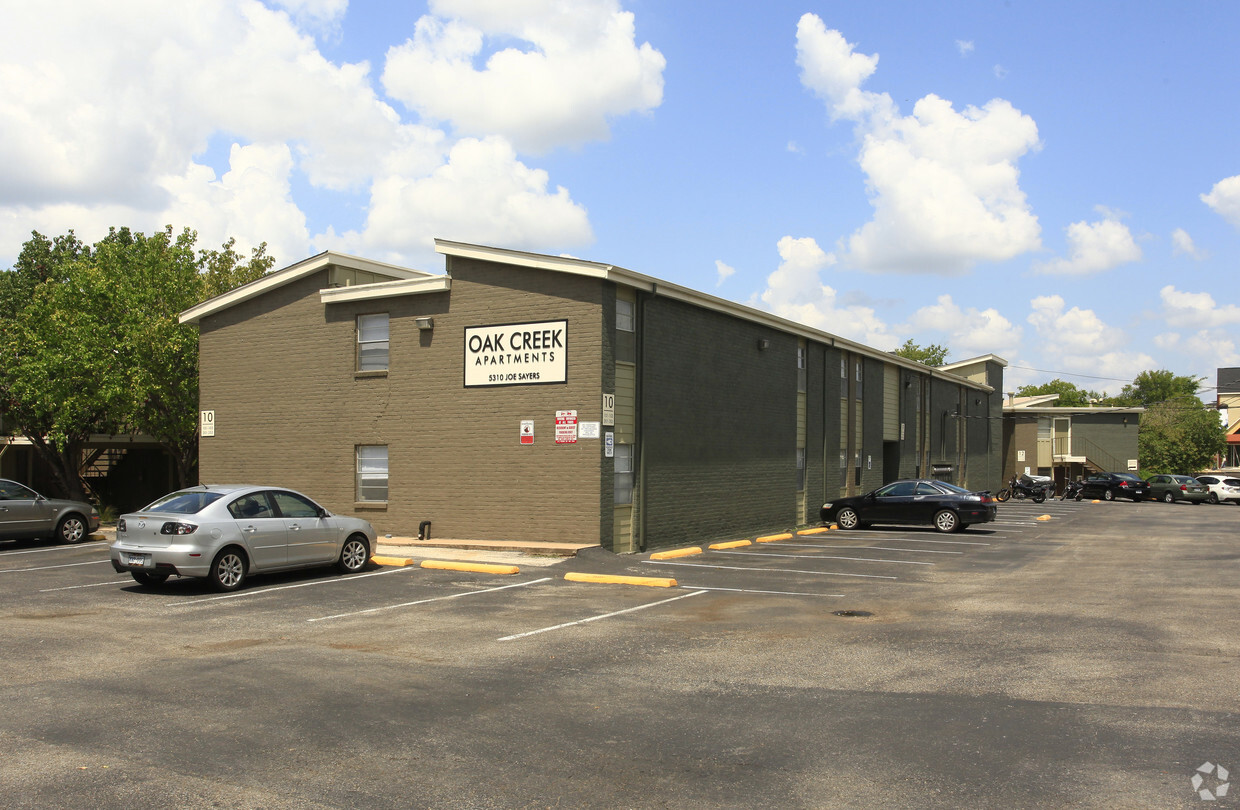
Oak Creek is an apartment community located in Travis County and the 78756 ZIP Code. This area is served by the Austin Independent attendance zone.
Unique Features
Laundry Facilities
Recycling
Picnic Area
Maintenance on site
Air Conditioning
High Speed Internet Access
Office
Range
Situated between Allandale and North Loop, Brentwood is roughly five miles north of Downtown Austin. Its proximity to downtown, combined with its cozy, tree-filled suburban vibe, makes Brentwood a terrific option for those looking for a quiet, attractive neighborhood still near the city. With ample sidewalks and bike lanes, Brentwood is great for pedestrians. With the University of Texas at Austin just three miles south, Brentwood provides a more peaceful option for students as well.
With its excellent schools and tidy bungalows, Brentwood is one of Austin’s top neighborhoods. It is known for its close-knit, community and local businesses that have served the neighborhood for decades. Brentwood Park serves as a gathering place for residents, providing tennis and basketball courts, playgrounds, and a swimming pool. The park is also the location of annual events like the Violet Crown Festival.
Learn more about living in BrentwoodCompare neighborhood and city base rent averages by bedroom.
| Brentwood | Austin, TX | |
|---|---|---|
| Studio | $1,134 | $1,214 |
| 1 Bedroom | $1,419 | $1,381 |
| 2 Bedrooms | $1,864 | $1,784 |
| 3 Bedrooms | $4,574 | $2,398 |
| Colleges & Universities | Distance | ||
|---|---|---|---|
| Colleges & Universities | Distance | ||
| Drive: | 9 min | 4.1 mi | |
| Drive: | 10 min | 5.9 mi | |
| Drive: | 12 min | 6.0 mi | |
| Drive: | 14 min | 6.6 mi |


Transportation options available in Austin include Highland Station, located 1.9 miles from Oak Creek. Oak Creek is near Austin-Bergstrom International, located 14.7 miles or 28 minutes away.
| Transit / Subway | Distance | ||
|---|---|---|---|
| Transit / Subway | Distance | ||
| Drive: | 5 min | 1.9 mi | |
| Drive: | 5 min | 2.1 mi | |
| Drive: | 10 min | 4.9 mi | |
| Drive: | 12 min | 5.4 mi | |
| Drive: | 10 min | 5.8 mi |
| Commuter Rail | Distance | ||
|---|---|---|---|
| Commuter Rail | Distance | ||
|
|
Drive: | 12 min | 6.5 mi |
|
|
Drive: | 42 min | 33.8 mi |
|
|
Drive: | 45 min | 36.3 mi |
| Airports | Distance | ||
|---|---|---|---|
| Airports | Distance | ||
|
Austin-Bergstrom International
|
Drive: | 28 min | 14.7 mi |
Time and distance from Oak Creek.
| Shopping Centers | Distance | ||
|---|---|---|---|
| Shopping Centers | Distance | ||
| Walk: | 4 min | 0.3 mi | |
| Walk: | 7 min | 0.4 mi | |
| Walk: | 11 min | 0.6 mi |
| Parks and Recreation | Distance | ||
|---|---|---|---|
| Parks and Recreation | Distance | ||
|
Beverly S. Sheffield Northwest District Park
|
Drive: | 6 min | 2.0 mi |
|
Elisabet Ney Museum
|
Drive: | 5 min | 2.1 mi |
|
Shoal Creek Greenbelt Park
|
Drive: | 7 min | 3.0 mi |
|
Bright Leaf Preserve
|
Drive: | 7 min | 3.0 mi |
|
Mayfield Park and Preserve
|
Drive: | 8 min | 3.7 mi |
| Hospitals | Distance | ||
|---|---|---|---|
| Hospitals | Distance | ||
| Drive: | 4 min | 1.7 mi | |
| Drive: | 4 min | 1.8 mi | |
| Drive: | 5 min | 2.2 mi |
| Military Bases | Distance | ||
|---|---|---|---|
| Military Bases | Distance | ||
| Drive: | 88 min | 71.2 mi | |
| Drive: | 90 min | 71.7 mi |
What Are Walk Score®, Transit Score®, and Bike Score® Ratings?
Walk Score® measures the walkability of any address. Transit Score® measures access to public transit. Bike Score® measures the bikeability of any address.
What is a Sound Score Rating?
A Sound Score Rating aggregates noise caused by vehicle traffic, airplane traffic and local sources

1507 Houston St
Austin, TX 78756


