
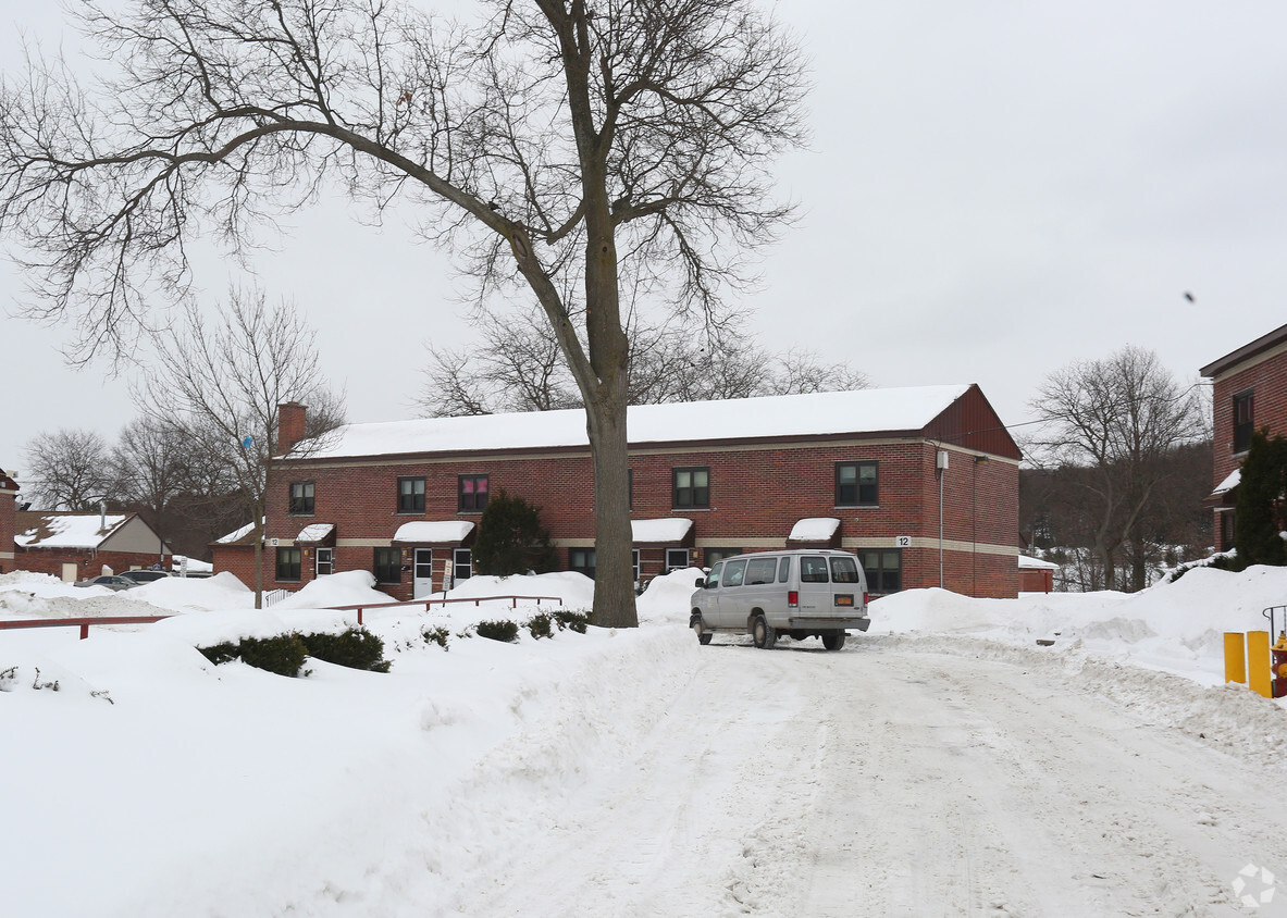
Hartford Mills Apartments
77 Clinton St,
New York Mills, NY 13417
$1,000 - $1,450
Studio - 2 Beds

At Municipal Housing Authority in Utica, NY, experience fine living. The location in Utica's 13501 area has so much to offer its residents. The leasing team is ready and waiting to take you for a tour. Schedule a time to check out the apartment floorplan options. At Municipal Housing Authority you'll feel right at home.
Municipal Housing Authority is an apartment community located in Oneida County and the 13501 ZIP Code. This area is served by the Utica City School District attendance zone.
Nestled in the Mohawk Valley, Utica combines city living with natural surroundings. The city's neighborhoods feature diverse housing options, from historic Victorian homes in the Rutger-Steuben Park Historic District to contemporary apartments near downtown. One-bedroom apartments average $1,161 per month, showing a 3.5% annual increase. Downtown Utica houses the new Wynn Hospital, the historic Stanley Theater, and the Munson-Williams-Proctor Arts Institute. The city's park system, designed by Frederick Law Olmsted Jr., includes F.T. Proctor Park and Memorial Parkway, while Val Bialas Ski Center offers winter recreation opportunities.
Utica's community spirit shines through its multicultural heritage, which has shaped the local dining scene. The city's signature dishes include chicken riggies and Utica greens, while restaurants throughout the city serve cuisine from around the world.
Learn more about living in Utica| Colleges & Universities | Distance | ||
|---|---|---|---|
| Colleges & Universities | Distance | ||
| Walk: | 10 min | 0.5 mi | |
| Drive: | 12 min | 4.1 mi | |
| Drive: | 14 min | 6.7 mi | |
| Drive: | 25 min | 12.6 mi |


Scores provided by
Traffic
-Airport
-Businesses
-Scores provided by
HowLoud What is a Sound Score Rating? A Sound Score Rating aggregates noise caused by vehicle traffic, airplane traffic and local sources. How It WorksWhat Are Walk Score®, Transit Score®, and Bike Score® Ratings?
Walk Score® measures the walkability of any address. Transit Score® measures access to public transit. Bike Score® measures the bikeability of any address.
What is a Sound Score Rating?
A Sound Score Rating aggregates noise caused by vehicle traffic, airplane traffic and local sources.


")
