
Sevens
777 W Middlefield Rd,
Mountain View, CA 94043
$3,965 - $7,152 Total Monthly Price
Studio - 2 Beds
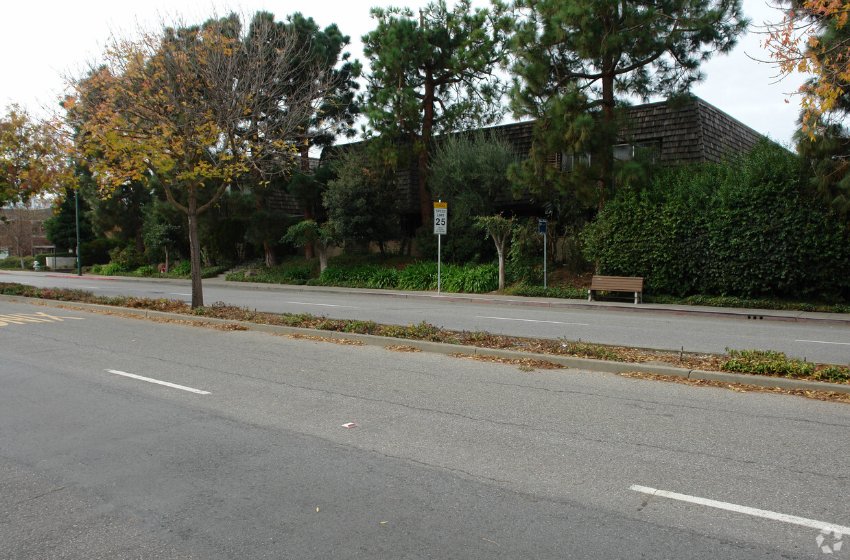
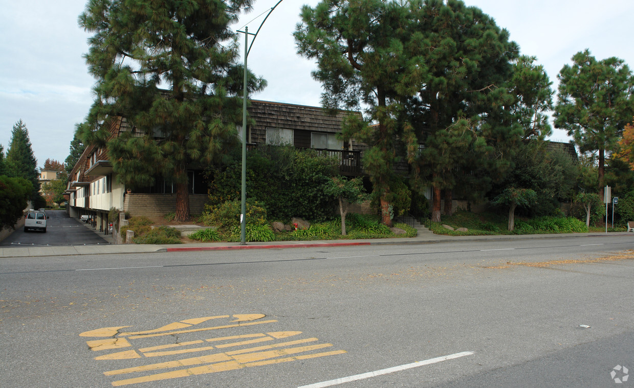

Miramonte Gardens offers a blend of livability, design and quality. In a location on Castro St. in Mountain View's 94040 area, local residents can easily connect with a number of attractions within a few miles. The professional community team is waiting to show you all that this community has in store. Schedule a time to see the current floorplan options. Drop by Miramonte Gardens today.
Miramonte Gardens is an apartment community located in Santa Clara County and the 94040 ZIP Code. This area is served by the Mountain View Whisman attendance zone.
Dishwasher
High Speed Internet Access
Disposal
Smoke Free
Located just 35 miles southeast of San Francisco and 10 miles northwest of San Jose, Cuesta Park is a family-friendly neighborhood in Silicon Valley. This centrally located neighborhood features mid-range to upscale rentals available for rent, complemented by palm-tree-lined streets. Families flock to Cuesta Park for its excellent schools, preschools, hospitals, and parks. Considered one of the best healthcare facilities in the Bay Area, El Camino Hospital, on the southern end of the neighborhood, offers numerous community outreach programs and activities.
Great for professionals, Cuesta Park is also convenient to the corporate offices of multiple tech companies including Googleplex and Apple Park, which are both less than 15 minutes away from the neighborhood. Cuesta Park is known for its namesake park which encompasses plenty of open green space for picnics and walking. Residents enjoy using the park’s facilities for barbecues, tennis, volleyball, and swimming.
Learn more about living in Cuesta ParkCompare neighborhood and city base rent averages by bedroom.
| Cuesta Park | Mountain View, CA | |
|---|---|---|
| Studio | $3,353 | $2,823 |
| 1 Bedroom | $2,865 | $3,296 |
| 2 Bedrooms | $3,154 | $4,208 |
| 3 Bedrooms | $6,048 | $5,071 |
| Colleges & Universities | Distance | ||
|---|---|---|---|
| Colleges & Universities | Distance | ||
| Drive: | 9 min | 3.5 mi | |
| Drive: | 10 min | 3.6 mi | |
| Drive: | 15 min | 6.0 mi | |
| Drive: | 11 min | 6.1 mi |


Transportation options available in Mountain View include Mountain View Station, located 1.3 miles from Miramonte Gardens. Miramonte Gardens is near Norman Y Mineta San Jose International, located 10.5 miles or 17 minutes away, and San Francisco International, located 26.1 miles or 36 minutes away.
| Transit / Subway | Distance | ||
|---|---|---|---|
| Transit / Subway | Distance | ||
| Drive: | 4 min | 1.3 mi | |
|
|
Drive: | 7 min | 2.7 mi |
|
|
Drive: | 6 min | 3.0 mi |
| Drive: | 8 min | 3.8 mi | |
| Drive: | 9 min | 4.7 mi |
| Commuter Rail | Distance | ||
|---|---|---|---|
| Commuter Rail | Distance | ||
| Drive: | 4 min | 1.3 mi | |
| Drive: | 6 min | 2.3 mi | |
| Drive: | 9 min | 3.8 mi | |
| Drive: | 12 min | 4.9 mi | |
| Drive: | 13 min | 7.3 mi |
| Airports | Distance | ||
|---|---|---|---|
| Airports | Distance | ||
|
Norman Y Mineta San Jose International
|
Drive: | 17 min | 10.5 mi |
|
San Francisco International
|
Drive: | 36 min | 26.1 mi |
Time and distance from Miramonte Gardens.
| Shopping Centers | Distance | ||
|---|---|---|---|
| Shopping Centers | Distance | ||
| Walk: | 15 min | 0.8 mi | |
| Walk: | 18 min | 0.9 mi | |
| Drive: | 3 min | 1.2 mi |
| Parks and Recreation | Distance | ||
|---|---|---|---|
| Parks and Recreation | Distance | ||
|
Redwood Grove
|
Drive: | 9 min | 3.0 mi |
|
Terman Park
|
Drive: | 9 min | 3.6 mi |
|
Foothill College Observatory
|
Drive: | 11 min | 3.8 mi |
|
J. Pearce Mitchell Park
|
Drive: | 11 min | 4.4 mi |
|
Esther Clark Nature Preserve
|
Drive: | 11 min | 4.7 mi |
| Hospitals | Distance | ||
|---|---|---|---|
| Hospitals | Distance | ||
| Drive: | 4 min | 1.7 mi | |
| Drive: | 15 min | 6.7 mi | |
| Drive: | 18 min | 7.3 mi |
| Military Bases | Distance | ||
|---|---|---|---|
| Military Bases | Distance | ||
| Drive: | 10 min | 3.6 mi |
What Are Walk Score®, Transit Score®, and Bike Score® Ratings?
Walk Score® measures the walkability of any address. Transit Score® measures access to public transit. Bike Score® measures the bikeability of any address.
What is a Sound Score Rating?
A Sound Score Rating aggregates noise caused by vehicle traffic, airplane traffic and local sources.

1140 Castro St
Mountain View, CA 94040


