
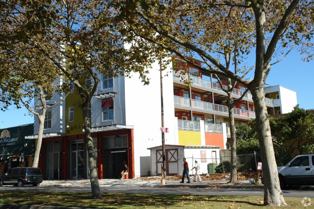
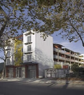
2510 Bancroft Way
2510 Bancroft Way,
Berkeley, CA 94704
Studio - 3 Beds $2,495 - $2,695
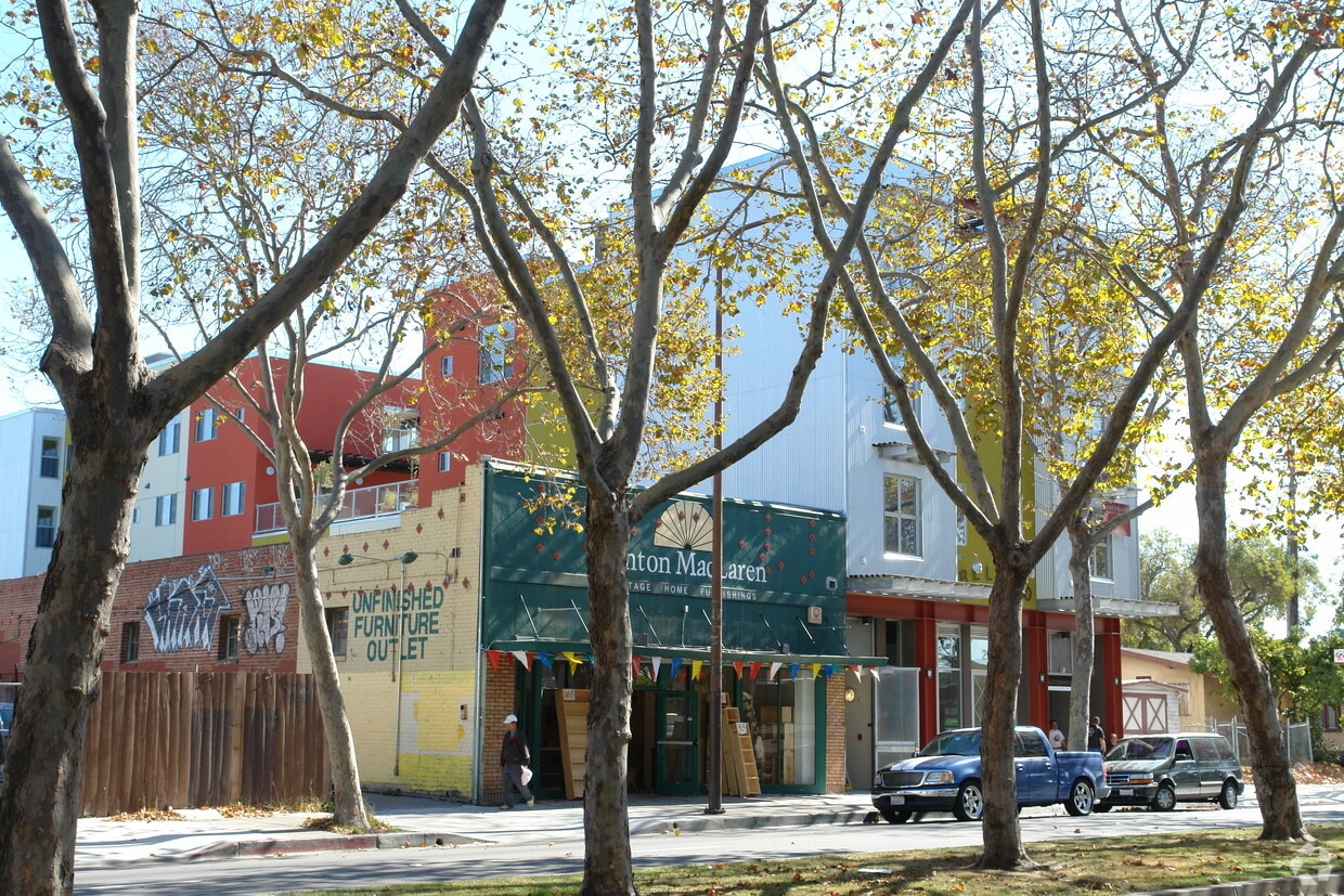
Southwest Berkeley is bounded by University Avenue to the north, Sacramento Street to the East, Alcatraz Avenue to the south and the San Francisco Bay to the west. Southwest Berkeley comprises a fascinating mix of the educational and the industrial. Less dense than the more inland parts of Berkeley, Southwest Berkeley has a diverse mix of apartment and home rentals that will delight students and families alike. Convenient access to the illustrious university make this a great option for students and staff, but any renter will love the restaurant and retail options that make this walkable locale so convenient.
Learn more about living in Southwest Berkeley| Colleges & Universities | Distance | ||
|---|---|---|---|
| Colleges & Universities | Distance | ||
| Drive: | 5 min | 1.7 mi | |
| Drive: | 9 min | 3.0 mi | |
| Drive: | 10 min | 3.7 mi | |
| Drive: | 11 min | 4.4 mi |


Transportation options available in Berkeley include North Berkeley, located 1.4 miles from Margaret Breland Homes. Margaret Breland Homes is near Metro Oakland International, located 13.7 miles or 24 minutes away, and San Francisco International, located 23.2 miles or 37 minutes away.
| Transit / Subway | Distance | ||
|---|---|---|---|
| Transit / Subway | Distance | ||
|
|
Drive: | 4 min | 1.4 mi |
|
|
Drive: | 4 min | 1.5 mi |
|
|
Drive: | 5 min | 1.7 mi |
|
|
Drive: | 5 min | 1.8 mi |
|
|
Drive: | 5 min | 1.8 mi |
| Commuter Rail | Distance | ||
|---|---|---|---|
| Commuter Rail | Distance | ||
|
|
Drive: | 3 min | 1.2 mi |
|
|
Drive: | 5 min | 1.9 mi |
|
|
Drive: | 13 min | 5.2 mi |
| Drive: | 13 min | 7.6 mi | |
| Drive: | 18 min | 10.7 mi |
| Airports | Distance | ||
|---|---|---|---|
| Airports | Distance | ||
|
Metro Oakland International
|
Drive: | 24 min | 13.7 mi |
|
San Francisco International
|
Drive: | 37 min | 23.2 mi |
Time and distance from Margaret Breland Homes.
| Shopping Centers | Distance | ||
|---|---|---|---|
| Shopping Centers | Distance | ||
| Drive: | 4 min | 1.5 mi | |
| Drive: | 4 min | 1.6 mi | |
| Drive: | 6 min | 2.1 mi |
| Parks and Recreation | Distance | ||
|---|---|---|---|
| Parks and Recreation | Distance | ||
|
Strawberry Creek Park
|
Walk: | 13 min | 0.7 mi |
|
Cedar-Rose Park
|
Drive: | 4 min | 1.5 mi |
|
McLaughlin Eastshore State Park
|
Drive: | 4 min | 1.5 mi |
|
Habitot Children's Museum
|
Drive: | 5 min | 1.6 mi |
|
San Francisco Bay Trail (at Emeryville)
|
Drive: | 4 min | 1.7 mi |
| Hospitals | Distance | ||
|---|---|---|---|
| Hospitals | Distance | ||
| Drive: | 7 min | 2.3 mi | |
| Drive: | 7 min | 2.6 mi | |
| Drive: | 10 min | 5.1 mi |
| Military Bases | Distance | ||
|---|---|---|---|
| Military Bases | Distance | ||
| Drive: | 13 min | 5.5 mi | |
| Drive: | 16 min | 6.2 mi |
What Are Walk Score®, Transit Score®, and Bike Score® Ratings?
Walk Score® measures the walkability of any address. Transit Score® measures access to public transit. Bike Score® measures the bikeability of any address.
What is a Sound Score Rating?
A Sound Score Rating aggregates noise caused by vehicle traffic, airplane traffic and local sources

2577 San Pablo Ave
Berkeley, CA 94702


