Median Age
41 Years
Largest Age Group
15-24 Years
Approximately 17% of Residents
Under 20
25%
Over 65
18%

A Welsh-named Main Line village where 18th-century history, commuter rail convenience, and world-class gardens converge just 15 miles from Center City Philadelphia, Saint Davids carries the quiet confidence of a place that has never needed to announce itself. Daily life here revolves around walkable access to Downtown Wayne's restaurant row and boutiques, the tree-lined grounds of Eastern University, and the lush surrounds of Chanticleer Garden. Lancaster Avenue threads through the area, connecting residents to a broader corridor of shops, cafes, and services without the noise of a larger commercial strip.
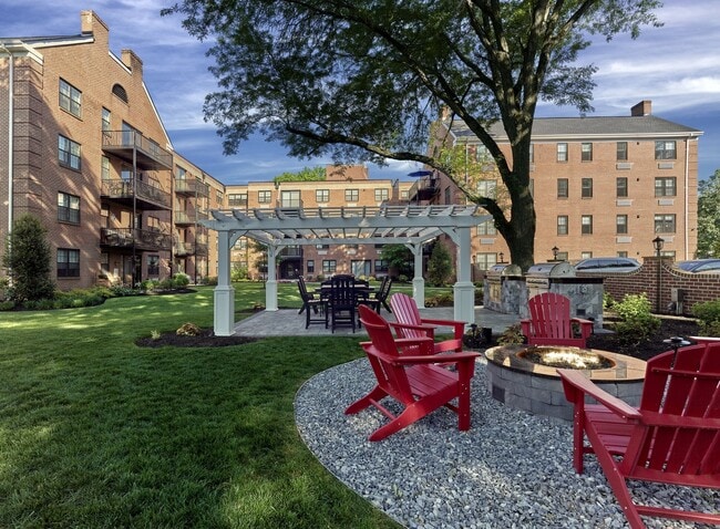
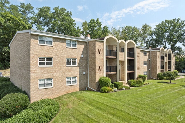
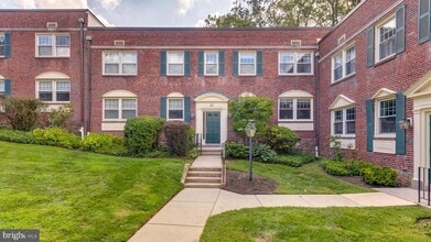
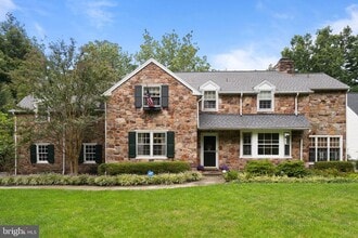
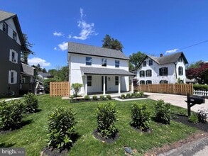
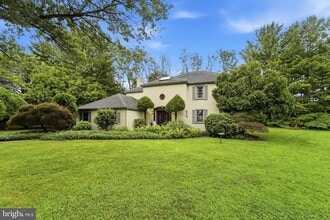
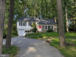
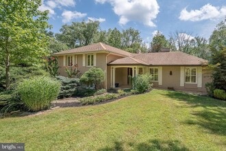
The rental landscape reflects the area's well-established character: expect a mix of townhomes, single-family rentals, and smaller apartment communities, many housed in architectural styles that echo the Colonial Revival and Shingle Style homes of the surrounding historic neighborhoods. High-rises are absent here; the scale stays human and the streetscapes stay leafy.
Eastern University anchors the community's academic identity, while proximity to Villanova University adds to the collegiate atmosphere. Saint Davids falls within Radnor Township, sharing municipal services. The community takes its name from St. Davids Episcopal Church, an 18th-century landmark honoring the patron saint of Wales -- a nod to the Welsh settlers who first shaped this corner of Delaware County.
Median Household Income
$152,309
Average: $177,764
Education
19,789
Residents Have a Degree
Job Market
18,674
Workers Employed
Median Age
41 Years
Largest Age Group
15-24 Years
Approximately 17% of Residents
Under 20
25%
Over 65
18%
Housing Distribution
Saint Davids has more homeowners than renters.

Education Distribution
Review this city's overall education levels.

Explore how walkable, bikeable, drivable, and transit-friendly Saint Davids, PA is for everyday living.
Fairly Walkable
Walkability
Limited Public Transit
Transit
Exceptionally Drivable
Drivability
Somewhat Bikeable
Bikeability

† Our analysis of utilities, groceries, transportation, healthcare, home prices, and other goods and services is sourced from the Cost of Living Index, a respected benchmark published by the Council for Community and Economic Research (C2ER) that provides a thorough overview of living expenses across different regions.
Rent data is provided by CoStar Group’s Market Trend reports. As the industry leader in commercial real estate information, analytics, and news, CoStar conducts extensive research to produce and maintain a comprehensive database of commercial real estate information. We combine this data with public record to provide the most up-to-date rental information available.
Consumer goods, services, and home prices are sourced from the Cost of Living Index published by the Council for Community and Economic Research (C2ER). The data on this page is updated quarterly. It was last published in September 2026.
Demographic information comes from Neustar and combines detailed address data with U.S. Census and American Community Survey statistics to produce reliable local estimates.